
What Lies Beneath the Serpentine? A Bathymetric Survey Informs….
The Background
- Date
- March 2026
- Client
- Base Environment
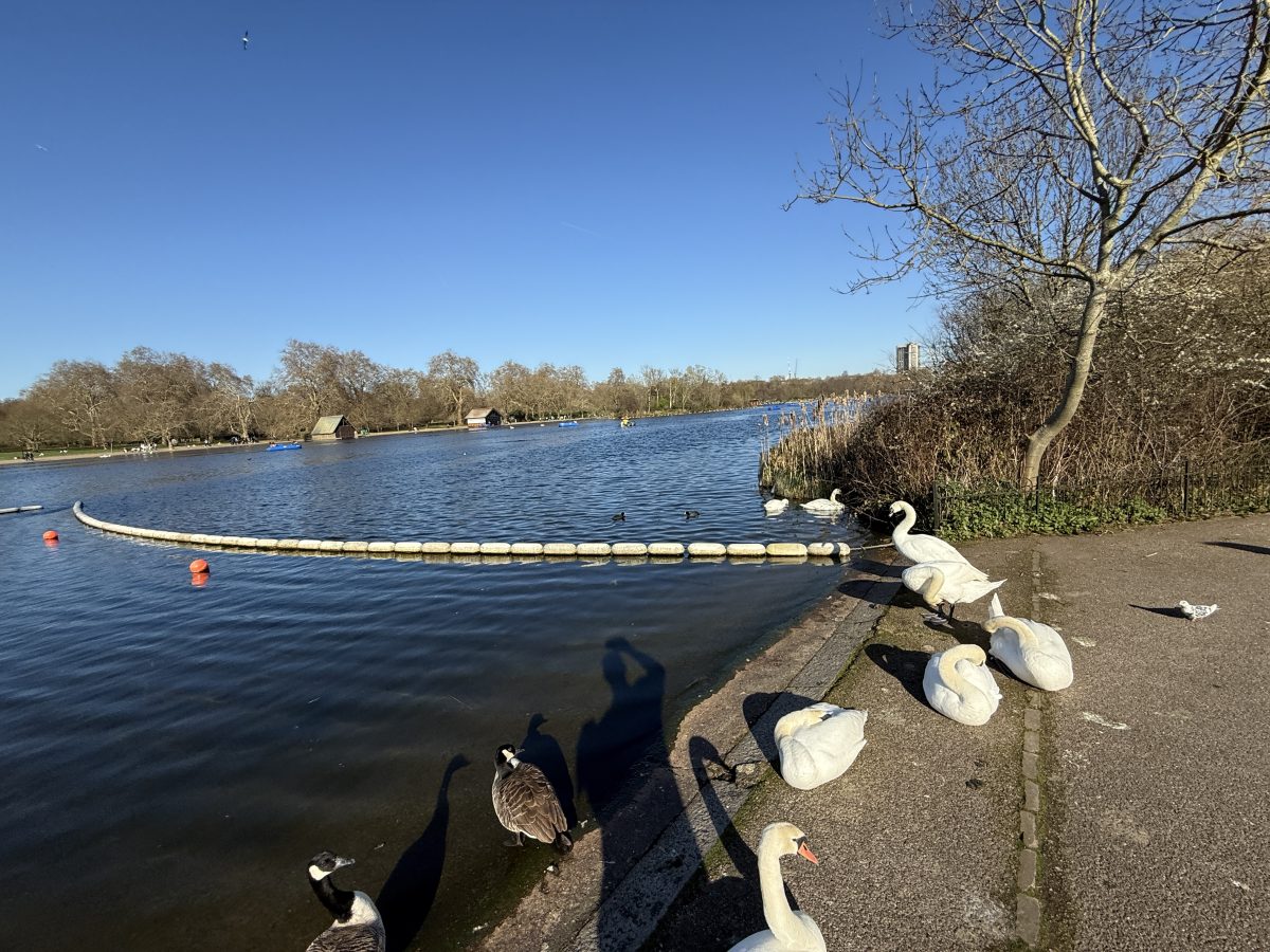
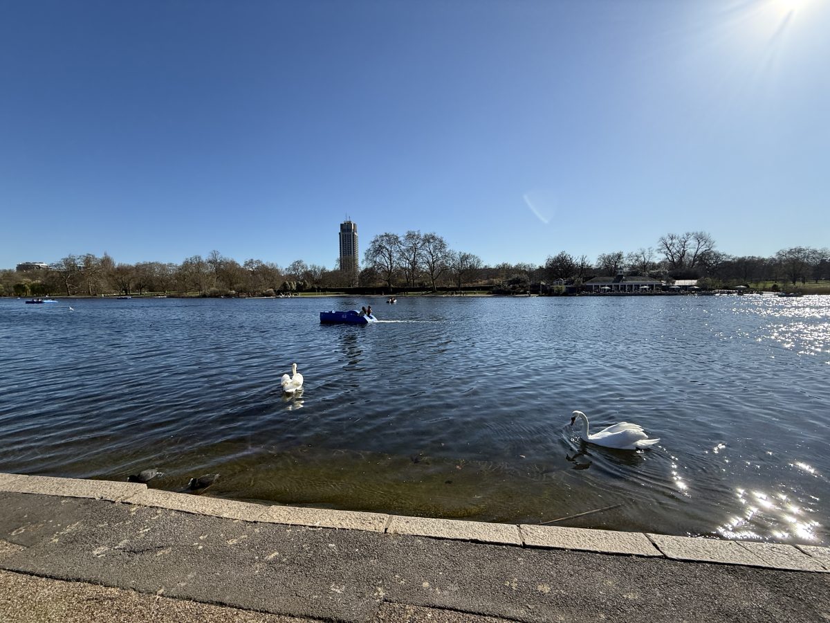
Storm Geomatics deployed a team of three Surveyors, lead by Caitlin Tonge, to undertake a bathymetric survey of The Serpentine, the iconic body of water which bridges both London Royal Gardens, Kensington Gardens and Hyde Park.
The team’s objective was to measure silt depth and bed levels over a 20m grid to provide our client with accurate data. While surveys have been conducted previously, they did not capture accurate silt depth measurements, as the only reliable method is manual probing of the bed.
The Challenge
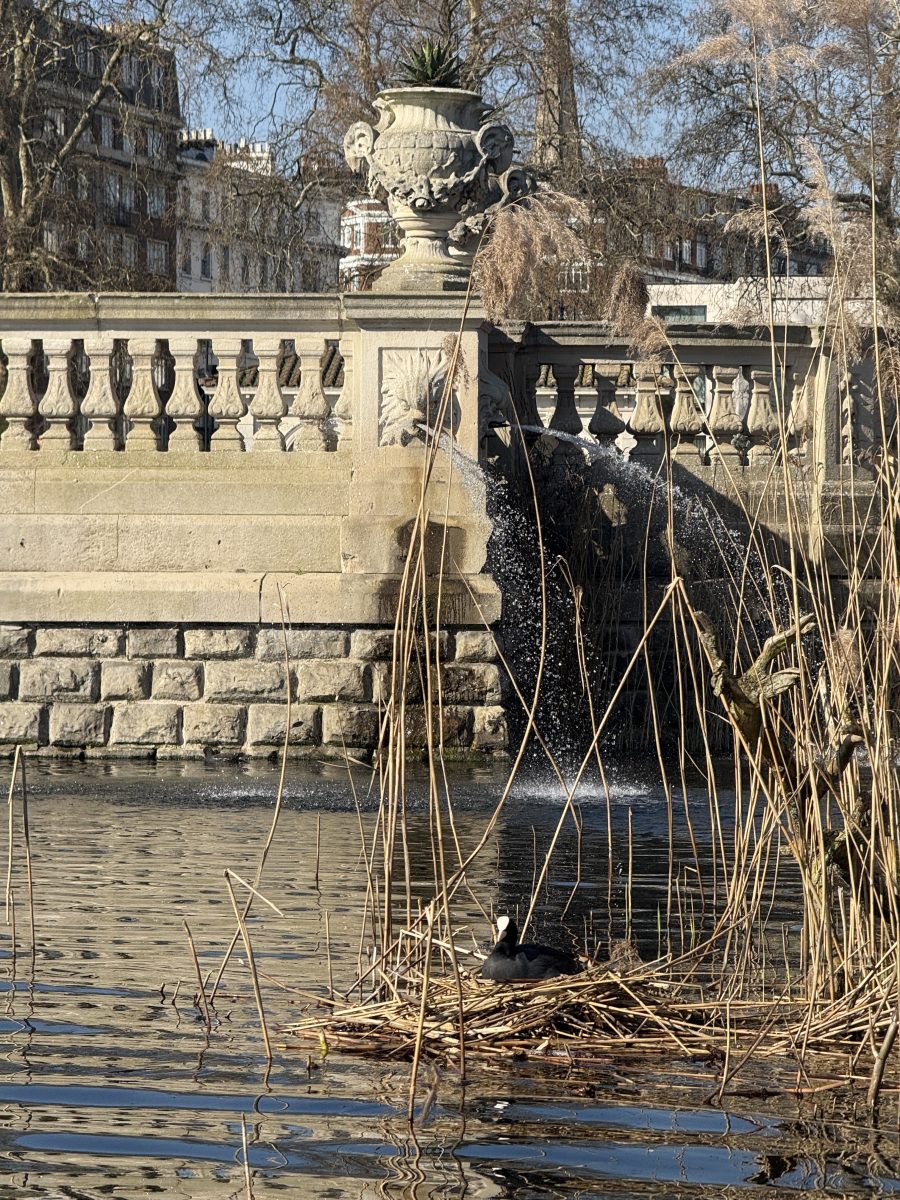
Measuring silt levels in bodies of water is essential for maintaining water quality and ecosystem health. The Serpentine provides natural habitat for a rich biodiversity of aquatic and bird species, such as ducks, swans, dragonflies, and carp, as well as providing an essential service to human wellbeing. Due to a high level of biodiversity, careful navigation around the lake was required in order to mitigate causing stress to nesting birds or damaging the natural habitat.
Monitoring the buildup in silt helps identify when the lake may need cleaning or dredging, in efforts to avoid negatively impacting environmental health, and water quality.
With the lake being in the center of London, there was high footfall of tourists enjoying the services around the lake, such as coffee and food outlets, and the option of renting out a pedalo. Requiring extra vigilance when deploying and navigating the water.
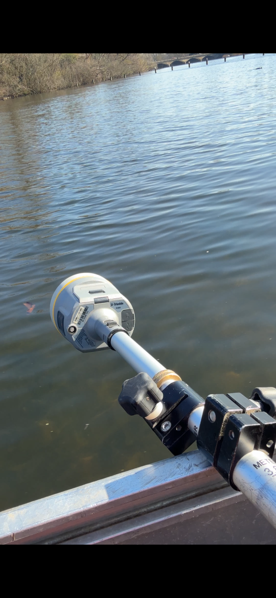
A three-person boat team, equipped with a 12ft boat, and using Trimble GNSS receiver observed bed levels over a 20m grid. The first point was taken on top of the silt (Silt Level), before pushing the pole through the silt to the point of refusal, which would be recorded as the hard bed.
Additional topographic data was captured around the perimeter of the lake, creating a closed loop for water and silt levels to sit within.
The Results
All survey deliverables and methods met the environmental Agency Specification v5.01, and on the Ordnance Survey grid datum utilising the OSTN15 and OSGM15 transformation for consistency with OS Survey Grid and geoid models.
The data collected by Storm surveyors allowed water and sediment volumes to be calculated. The data also allowed the client to analyse the varying depths and build-up of sediment around the lake.
A 20m survey grid was selected to provide a suitable balance between data resolution and project efficiency. A tighter grid would have enabled a higher resolution model of the lakebed and silt distribution, capturing more subtle variations in depth and composition. However, this increased level of detail comes with additional time on site, greater data processing requirements, and consequently higher cost. The chosen grid spacing therefore reflects a considered trade-off, delivering sufficient accuracy to meet the project objectives while maintaining a practical and cost-effective survey approach.

- Caitlin Tonge
SurveyorRecent News

Do All Rivers Lead to Liverpool?

Geospatial Survey Delivery Across UK River Infrastructure
