Combined survey techniques bring rich data on the River Avon
The Background
- Date
- Winter 2022
- Client
- Atkins Global
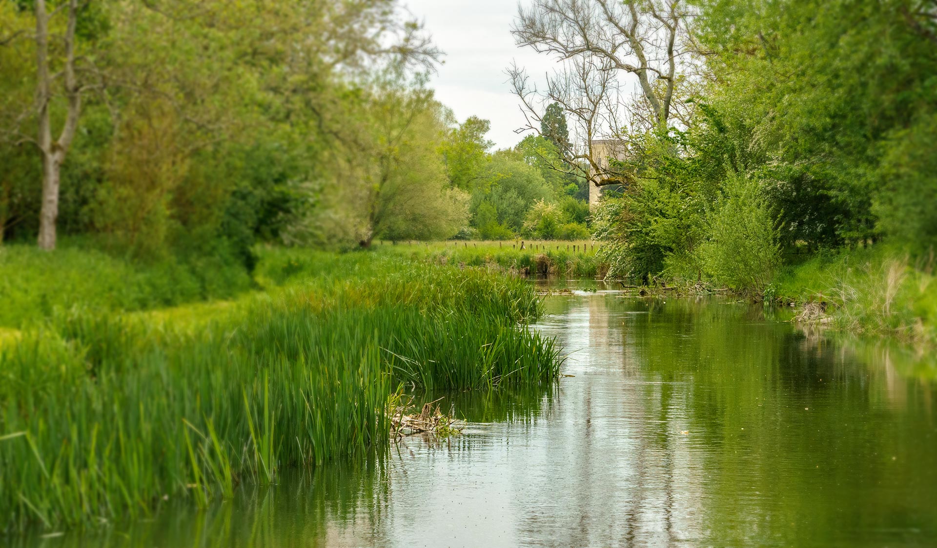
In late 2022, Storm Geomatics were asked by their client Atkins Global to carry out a bathymetric survey up and down stream of a site on the River Avon in Chippenham, Wiltshire.
The survey was required to help inform design works for the removal of the radial gate, weir, fish pass and construction of a new foot bridge on the River Avon in Chippenham.
The site in Chippenham extended 0.5km downstream of the radial gate; 0.2km through Chippenham town centre between the radial gate and low bridge and then 4.14km to the upstream extent of the survey.
The Challenge
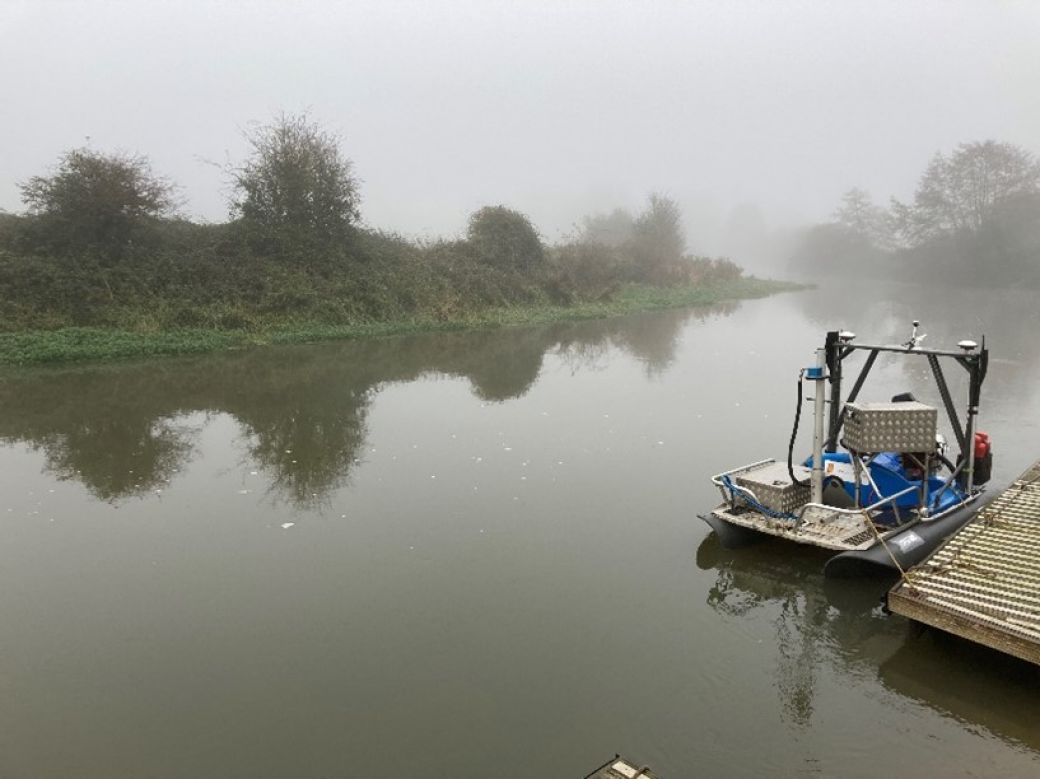
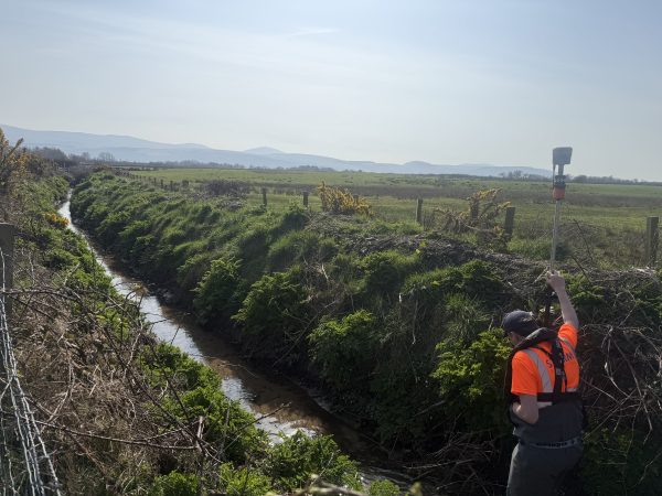
Storm’s client required high detail survey of the river bed for a total of 4.84km stretch. It was decided to use a combination of survey methods. Firstly, the Geoswath Interferometric Multibeam system to provide a full bathymetric data set of the riverbed. In addition to the bathymetric survey Storm conducted cross sections at 1km intervals to provide data above the water line to the crest and out of bank. These were completed using a Trimble S7 total station, detail pole to survey hard and soft bed and the Seastrike aluminium work boat to navigate the areas of deep water.
The River Avon ranges from 9m to 28m in width along the site. The river depth undulates quite significantly along the site with particularly shallow areas in the upper reaches of less than 1m. In addition, the clearance under the High Street road bridge is limited which restricts boat access.
Surveyors faced a few challenges with this site due to the varying river width, depth, access restrictions between the radial gate and the low bridge for a boat, and the slipway being located at the upstream end of the site.
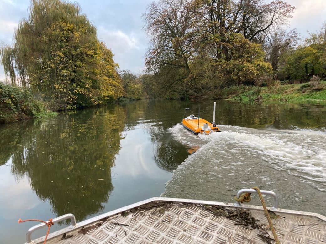
Fortunately, Storm had an option to deploy the Geoswath CSV and SL40 USV, both equipped with Geoswath Interferometric Sonar and SBG Ekinox IMU, to collect rich data, which gives the versatility and solutions to overcome working in these challenging situations.
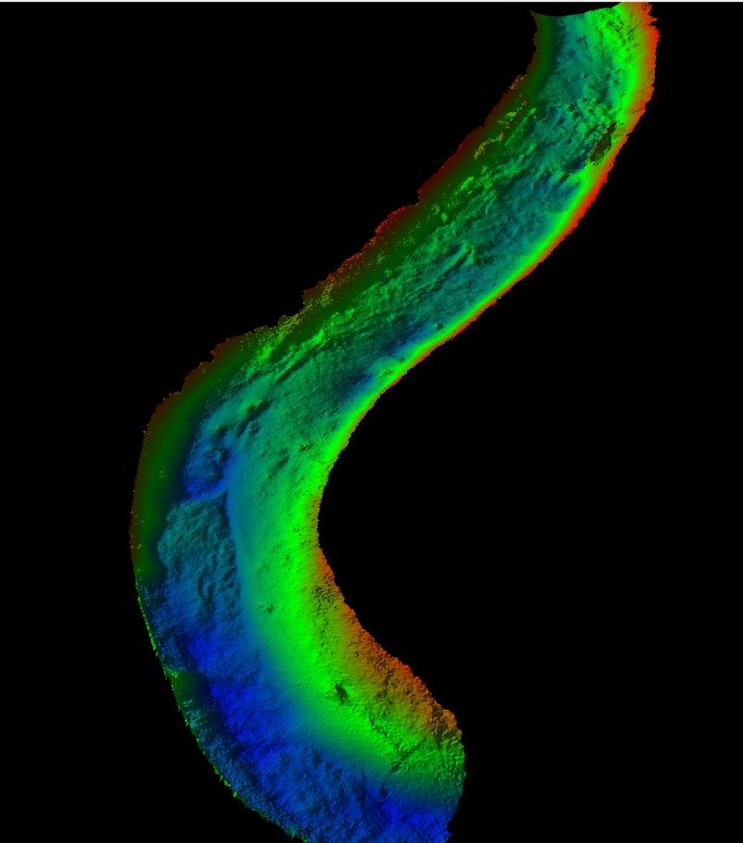
The Results
The decision to utilise both Geoswath CSV for the majority of work, with the SL40 being deployed downstream of the low high street bridge created a set of rich data for our client to understand the dimensions of the channel.

- David Gaska Tucker
Atkins GlobalRecent News

Helping Clients Reduce Risk with Better Geospatial Data
Why Early‑Stage River Survey Data Is Critical to Flood Risk Delivery
