

Delivering an Integrated Terrain Model
The Background
- Date
- August 2026
- Client
- Stantec
When Storm’s long standing client Stantec was commissioned by Northumbrian Water to undertake a hydraulic modelling assessment for maintenance works at Colt Crag and Little Swinburn Reservoirs, they needed a geospatial survey partner capable of delivering a complete and highly accurate terrain model across a complex, environmentally sensitive site.
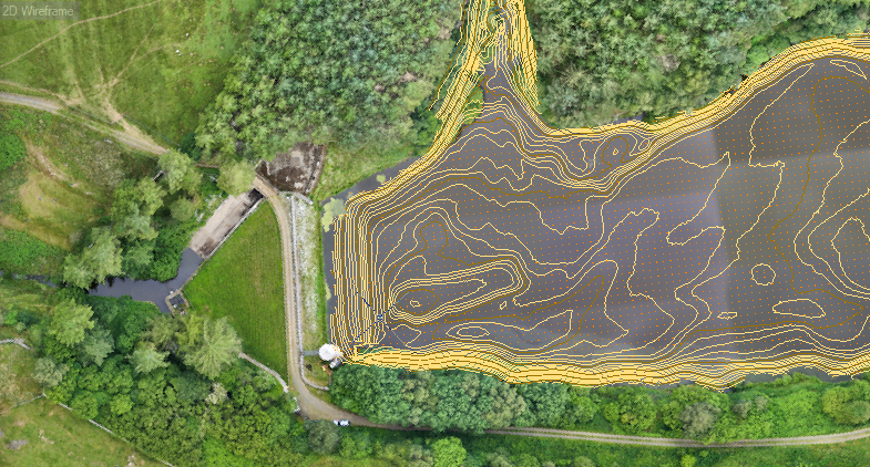
Storm surveyors combined aerial, terrestrial and hydrographic surveying technologies to create a comprehensive Digital Terrain Model (DTM) covering more than 10km of watercourses and two reservoirs.
Project Highlights
- 10.4km survey corridor
- 5 survey teams mobilised
- RPAS LiDAR survey
- Multibeam bathymetric surveys
- Sub-bottom profiling surveys
- Cross-section surveys at river structures
- Integrated flood modelling dataset
The Challenge
Set within the steep valleys of Northumberland and intersecting historic landscapes near Hadrian’s Wall, the project area presented several challenges:
- Dense vegetation restricting traditional survey methods
- Difficult access along river corridors
- Multiple watercourses and structures requiring detailed capture
- Reservoir bathymetry needed for hydraulic modelling
- Requirement for a single integrated dataset from multiple survey disciplines

The total survey area covered:
- 2.6km of Dry Burn
- 5.6km of Swin Burn
- 0.65km of Shank Sike
- 0.33km of an unnamed tributary
- 1.2km of Coal Burn
In addition to capturing the river corridor, detailed bathymetric surveys of Colt Crag Reservoir and Little Swinburn Reservoir were required, alongside cross-sections of key hydraulic structures, including bridges, culverts and weirs. Special mention must go to all landowners who were incredibly accommodating and supporting of the survey teams.
Environmental Considerations
Working within a diverse natural landscape required careful planning and execution.
The site supported a rich variety of wildlife, including red squirrels and numerous insect species. By utilising drone and unmanned vessel technologies, the project team minimised environmental disturbance while maintaining data quality and survey efficiency.
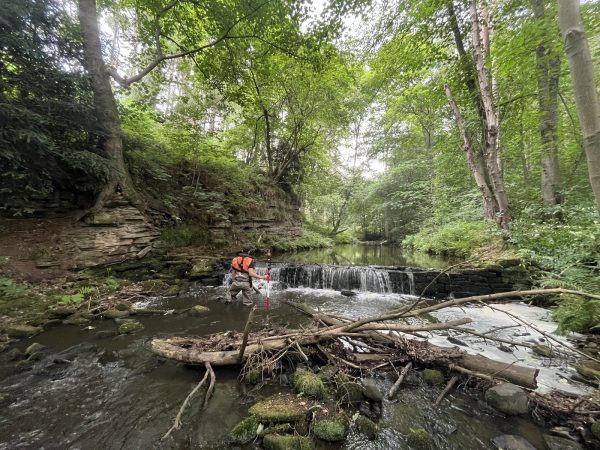
A highly biodiverse landscape, survey methodologies were respectful of this environment.
Storm's Solution
To efficiently collect the required data within the project programme, five survey teams were deployed across the site. Specialist surveyors from multiple survey disciplines worked collaboratively to gather and integrate information from a range of survey technologies, overseen by Prinicipal Surveyor, Alex Lyall.
Aerial LiDAR Survey
Due to the scale of the site and the heavily vegetated environment, aerial LiDAR was selected as the primary method for terrain acquisition.
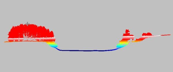
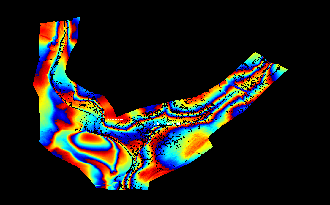
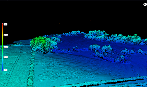
Using a DJI M400 equipped with an L3 LiDAR sensor, surveyors captured high-density point cloud data across the entire project area. The advanced sensor technology enabled excellent vegetation penetration, allowing for the creation of a highly accurate bare-earth model while simultaneously producing a detailed three-dimensional representation of the landscape.
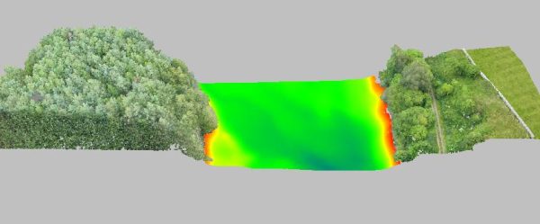
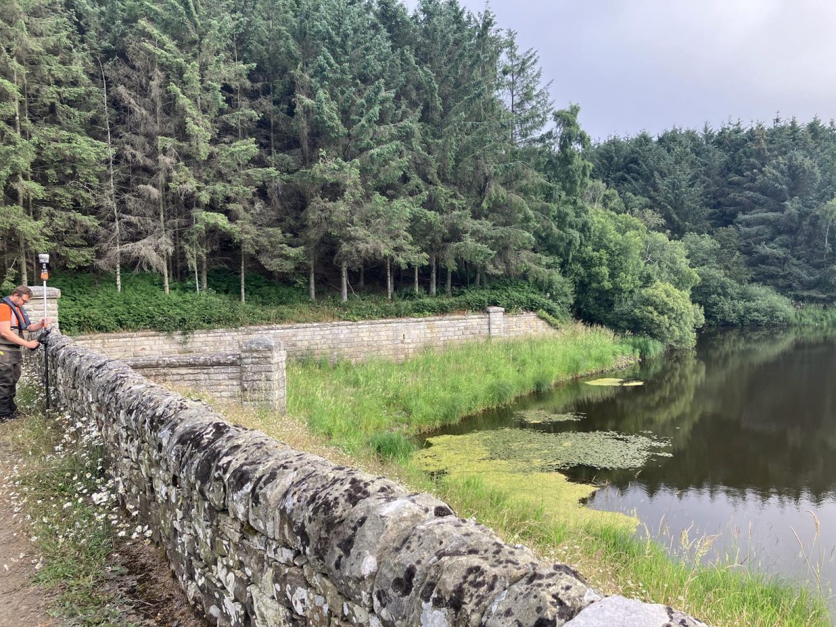
Section of reservoir with vegetation
The capability of the M400 and L3 combination significantly improved survey efficiency, enabling rapid coverage of the extensive corridor while maintaining high data quality throughout.
Hydrographic Survey
Bathymetric and sub-bottom profiling surveys of both reservoirs were carried out using the Ocean Alpha SL40 Unmanned Survey Vessel (USV). The platform was selected due to site access constraints and its ability to support efficient sensor changes in the field. The hydrographic survey incorporated:
- GeoAcoustics GeoSwath Interferometric Multibeam System
- GeoAcoustics GeoPulse 2 Sub-Bottom Profiler (SBP)
This approach enabled accurate mapping of reservoir bed levels while also providing valuable information on sediment depth and composition.
Topographic Survey
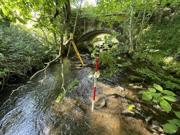
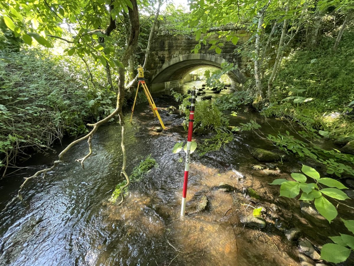
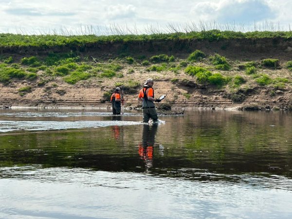
Traditional topographic survey techniques were undertaken in key locations to supplement and validate the aerial data. Cross-sections were surveyed at hydraulic structures throughout the study area, ensuring critical features were accurately represented within the final model.
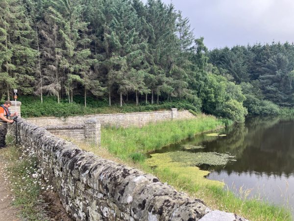
Hydraulic structure survey.
Results
Through the integration of aerial, hydrographic and traditional survey techniques, the project successfully delivered a complete and highly accurate terrain model for Stantec and Northumbrian Water.
Storm’s team produced a single, seamless dataset that supports informed decision-making and future flood modelling activities across the Colt Crag and Little Swinburn Reservoir system.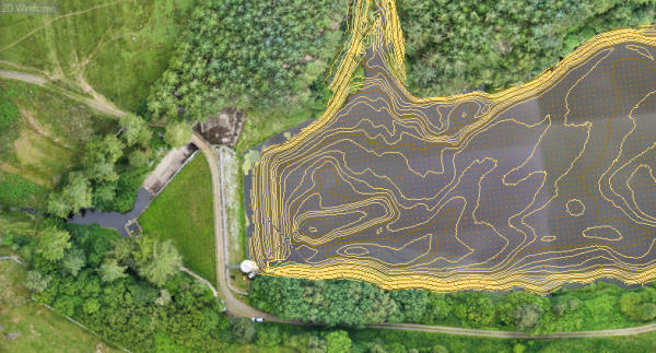
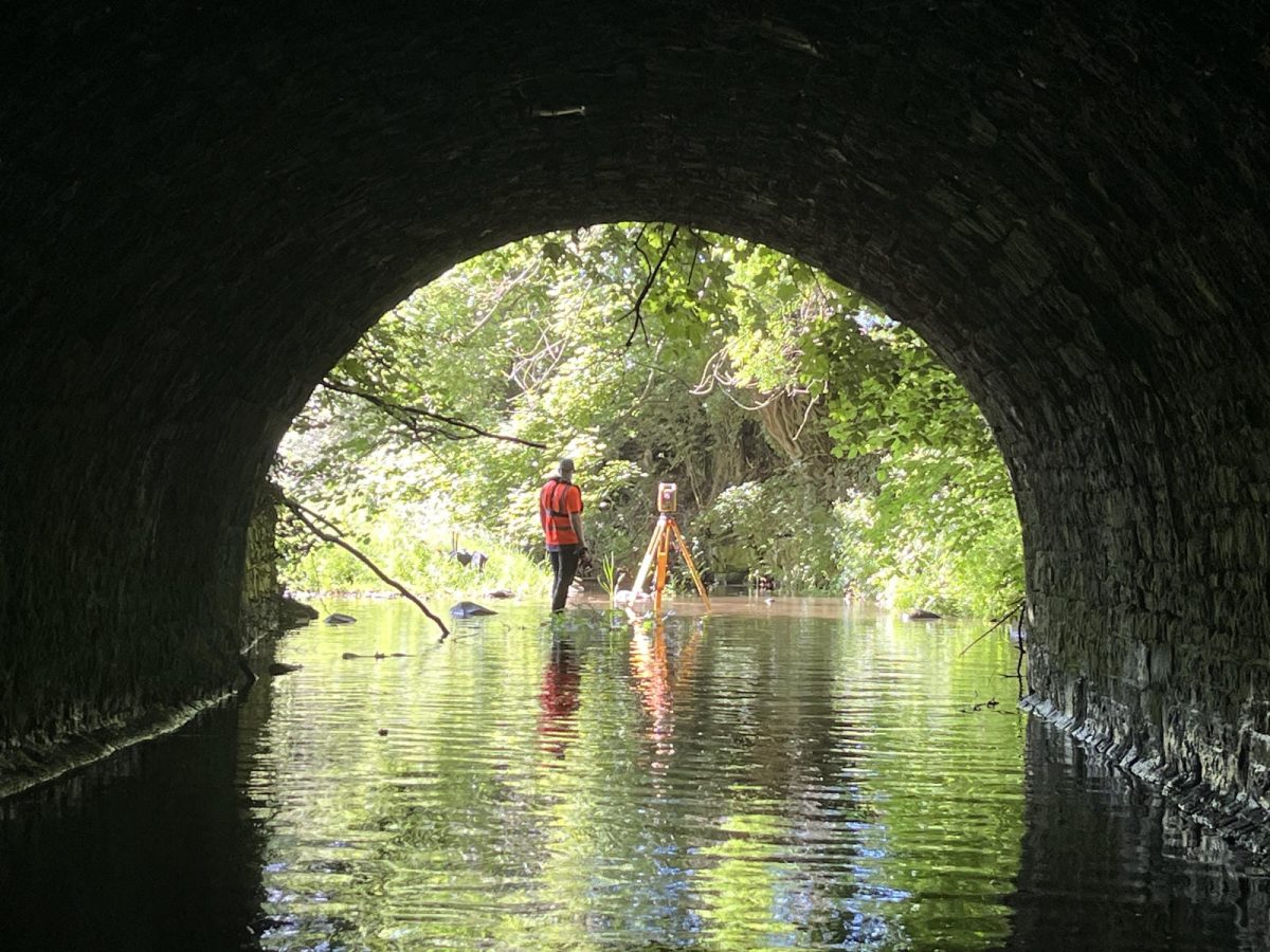
This project involved a variety of survey disciples, pulling in expertise from all areas, in order to deliver a complete Digital Terrain Model (DTM) of 10km of river and two reservoirs.
”
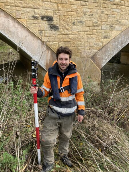
- Alex Lyall
Prinicipal SurveyorRecent News
What Happens When Rivers Go Digital?
How To Keep Survey Projects Moving During a Record-Breaking Summer