Snaith Ings Washland Reservoir MIOS Survey
The Background
- Date
- May 2026
- Client
- Ove Arup
Long-standing client Arup commissioned Storm Geomatics to carry out a large topographical survey for the Snaith Ings Washland Reservoir, Measure in the Interest of Safety (MIOS) project. The wider project aims to create a new outlet to support gravity discharge into the River Aire.
The site is classified as a reservoir, and the works are intended to help manage water levels, reduce pressure on the embankments, and lower the risk of overtopping or failure during flood events.
The Challenge
Survey Scope
The topographical survey formed part of the initial phase of works, ahead of further activity planned for the following year. Storm Geomatics was required to cover a large and varied survey area, including embankments, ditches, fields, roads, pumping stations and the tidal River Aire.
Given the scale and complexity of the site, a well-planned approach was essential to collect the required data efficiently and safely.
Sitework Approach
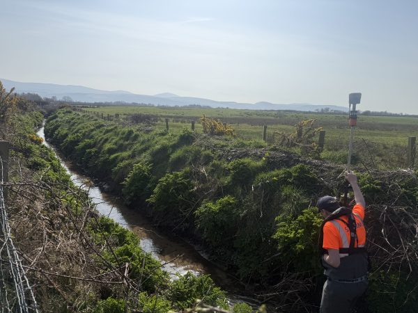
The sitework was delivered across two separate deployments. During the first week, two surveyors worked with two survey kits to collect as much ground data as possible, covering embankments, tramlines, ditches and pumping station areas.
- Completed ground data collection along embankments and tramlines.
- Captured cross sections within two ditches.
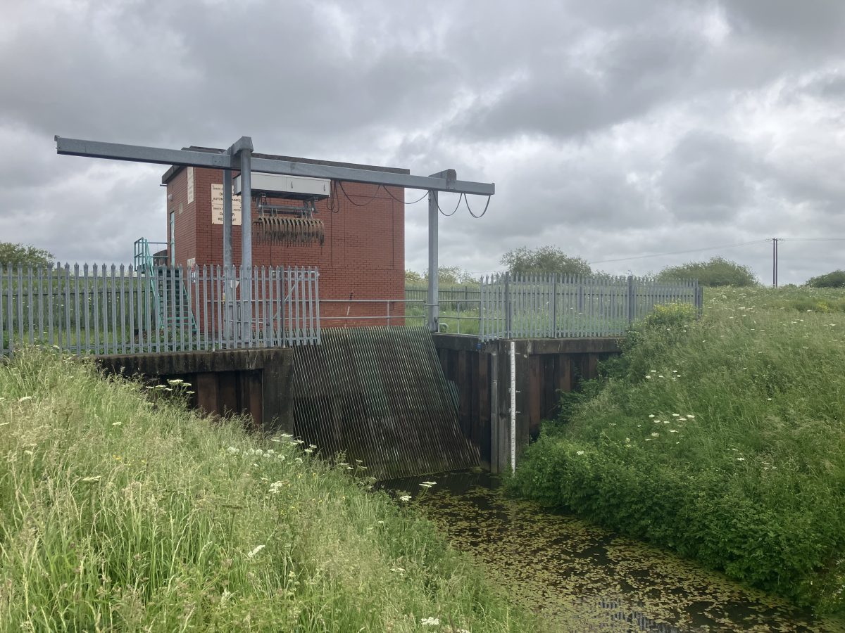
- Completed the detailed survey of the pumping stations.
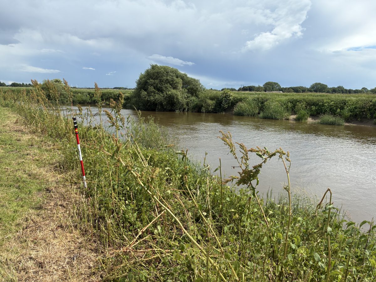
This early progress meant a significant portion of the project was complete before the second deployment, which required a three-person team to collect cross sections on the River Aire.
Due to the depth and potential flow speed of this tidal river section, the team used a Seastrike 10 ft aluminium vessel and a Single Beam Echo Sounder.
Levels were also required along a 600 m stretch of the A614. As this is a busy road, manual survey without traffic management was not feasible, so the team used a Trimble X9 scanner to capture the entire road section. Back in the office, the relevant points could then be extracted from the highly detailed scan data.
The Results
Once field data collection was complete, the information was returned to the office for processing. Because the project involved different survey methods and deliverables, two surveyors were able to work on the project simultaneously, processing the topographic drawing, point cloud and cross sections.
Clear communication was vital throughout this stage to ensure no steps were missed and that levels remained consistent across all datasets.
Quality Assurance
After processing, the data passed through Storm Geomatics’ rigorous QA process to ensure the final outputs met the required standard. On a project of this scale, small issues can be easy to overlook, so a fresh review was essential to check the detail and maintain the quality of the final deliverables.
- Tom Isaac
Senior SurveyorRecent News

Geospatial Survey Delivery Across UK River Infrastructure

Helping Clients Reduce Risk with Better Geospatial Data