Remotely Piloted Aircraft system (RPAS) Surveys
Drone Surveys
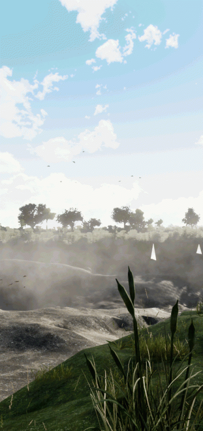
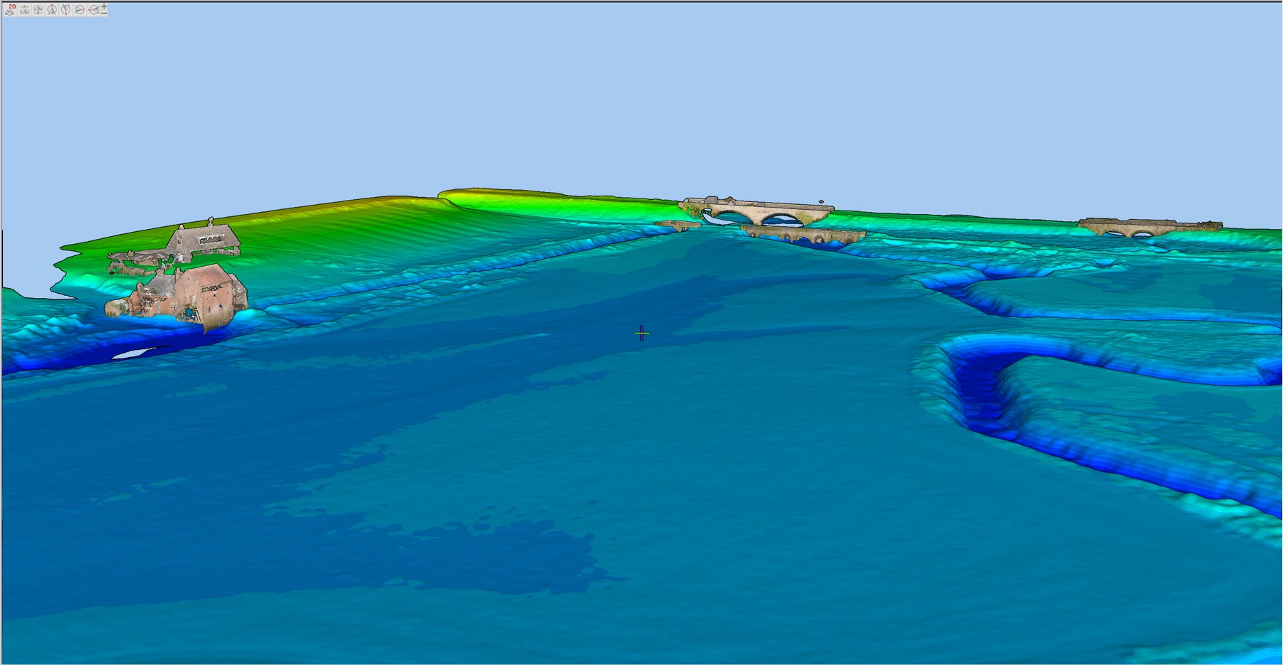
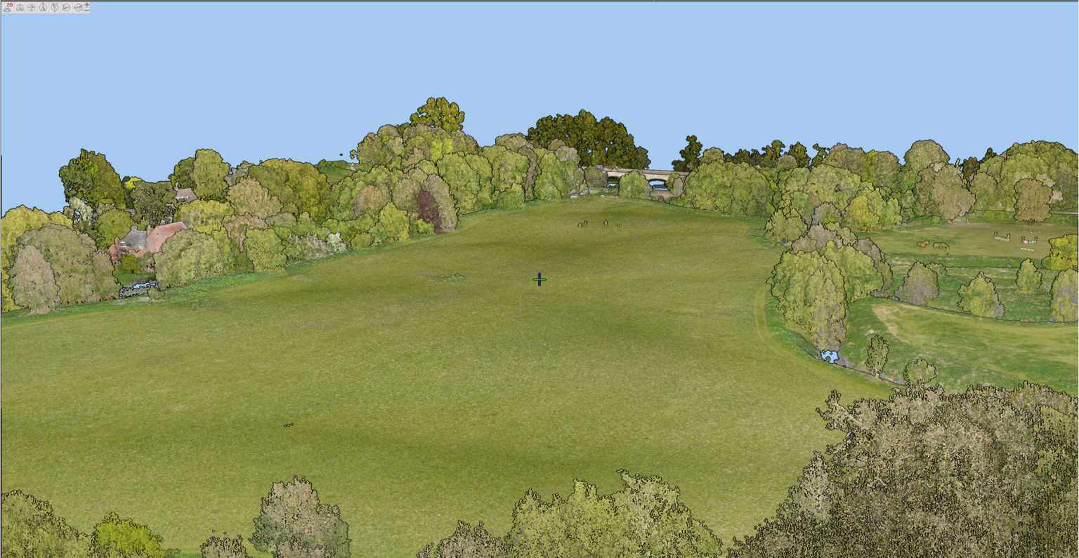
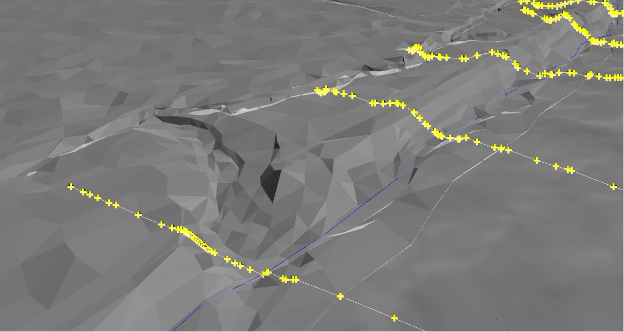
By using drone surveys, we can offer our clients good quality LiDAR and photogrammetry models accurate to RICS specification. We provide high resolution 2D and 3D orthomosaics as well as classified LiDAR data which is available to interact with on a point cloud viewing platform through which we upload the data.
These surveys, combined with data from other services across our company, enable us to create a detailed river digital twin of the river environment, supporting decision-making processes, risk assessment, and asset management. By employing drone technology, we ensure efficient and cost-effective data acquisition, helping our clients gain a comprehensive understanding of the river’s condition and behaviour.
Drone Survey UK
Through UK-wide drone surveys, we can offer our clients good quality LiDAR and photogrammetry models accurate to RICS specification. We provide high resolution 2D and 3D orthomosaics as well as classified LiDAR data which is available to interact with on a point cloud viewing platform.
These surveys, combined with data from other services across our company, enable us to create a detailed river digital twin of the river environment, supporting decision-making processes, risk assessment, and asset management. By employing drone technology, we ensure efficient and cost-effective data acquisition, helping our clients gain a comprehensive understanding of the river’s condition and behaviour.
RPAS Survey UK
Through RPAS surveys conducted nationwide, we deliver our clients LiDAR and photogrammetry models in strict accordance with RICS specifications. We provide high resolution 2D and 3D orthomosaics as well as classified LiDAR data which can be seamlessly interacted with on a point cloud viewing platform through which we upload the data.
These surveys, combined with data from other services across our company, enable us to create a detailed river digital twin of the river environment, supporting decision-making processes, risk assessment, and asset management. By employing drone technology, we ensure efficient and cost-effective data acquisition, helping our clients gain a comprehensive understanding of the river’s condition and behaviour.

Find Out More
Do you have a Remotely Piloted Aircraft system (RPAS) Surveys project we can help with?
Call 01608 664910 or