Right First Time Geospatial Survey Data for CDF2 Delivery
Why Survey Strategy Matters for CDF2
Collaborative Delivery Framework 2 (CDF2) is a major programme that will deliver asset management activities across the Environment Agency’s (EA) entire asset base. Requiring appraisal, design, technical support and construction works across the EA’s asset base.
Accurate, model ready geospatial data reduces risk and avoids rework . Storm Geomatics have created a 6 Step Survey Strategy Framework that is an EA-aligned approach to reduce risk, improve program certainty, and support both nature-based and engineered interventions.
The 6 Step Survey Strategy Framework
- Define Asset & Scheme
- Select Appropriate Survey Methods
- Access & Safety Planning
- Apply QA & Data Standards
- Engineering Ready Data
- Scheduling &Mobilisation
Our Survey Strategy Playbook is yours to download to ensure you maximise investment from your chosen survey partner.
Want help applying this to your scheme? Book a CDF2 Survey Surgery below. This is an opportunity to work through all your CDF2 survey requirements with our senior team of expert geospatial surveyors. Tailoring specific outcomes by working with our team’s consultative approach.
Want editable templates plates from the playbook? Share your email and we’ll send them.
CASE STUDIES – how Storm Geomatics approach project solutions
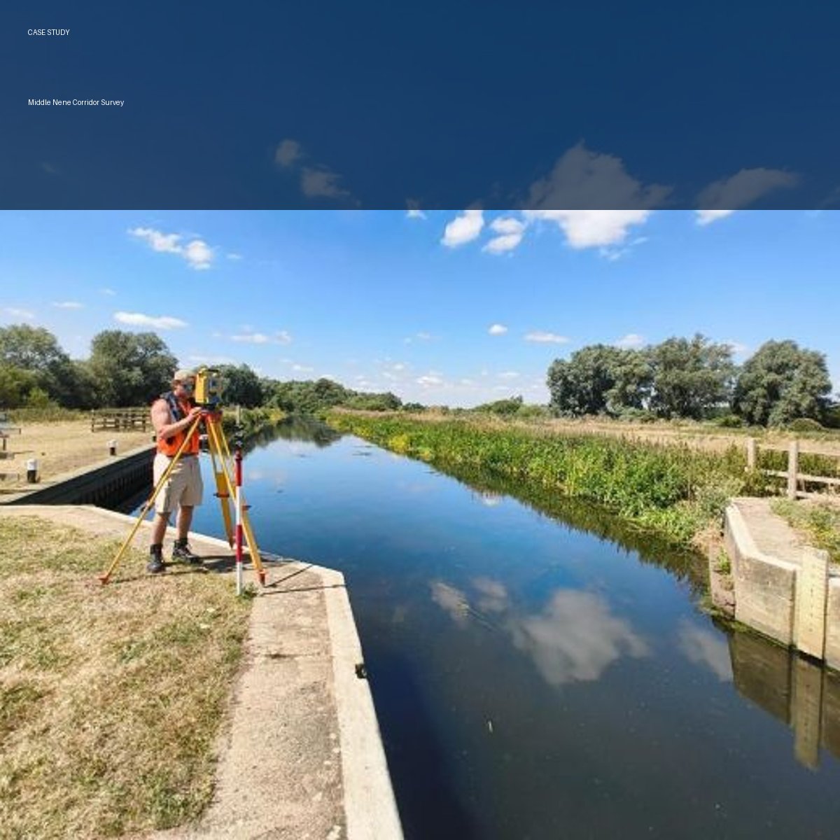
Middle Nene Corridor Survey
A large-scale survey that required a collaborative approach to achieve data collection within a strict weather window. The project included 1,769 cross sections and 326 EA Asset structures.
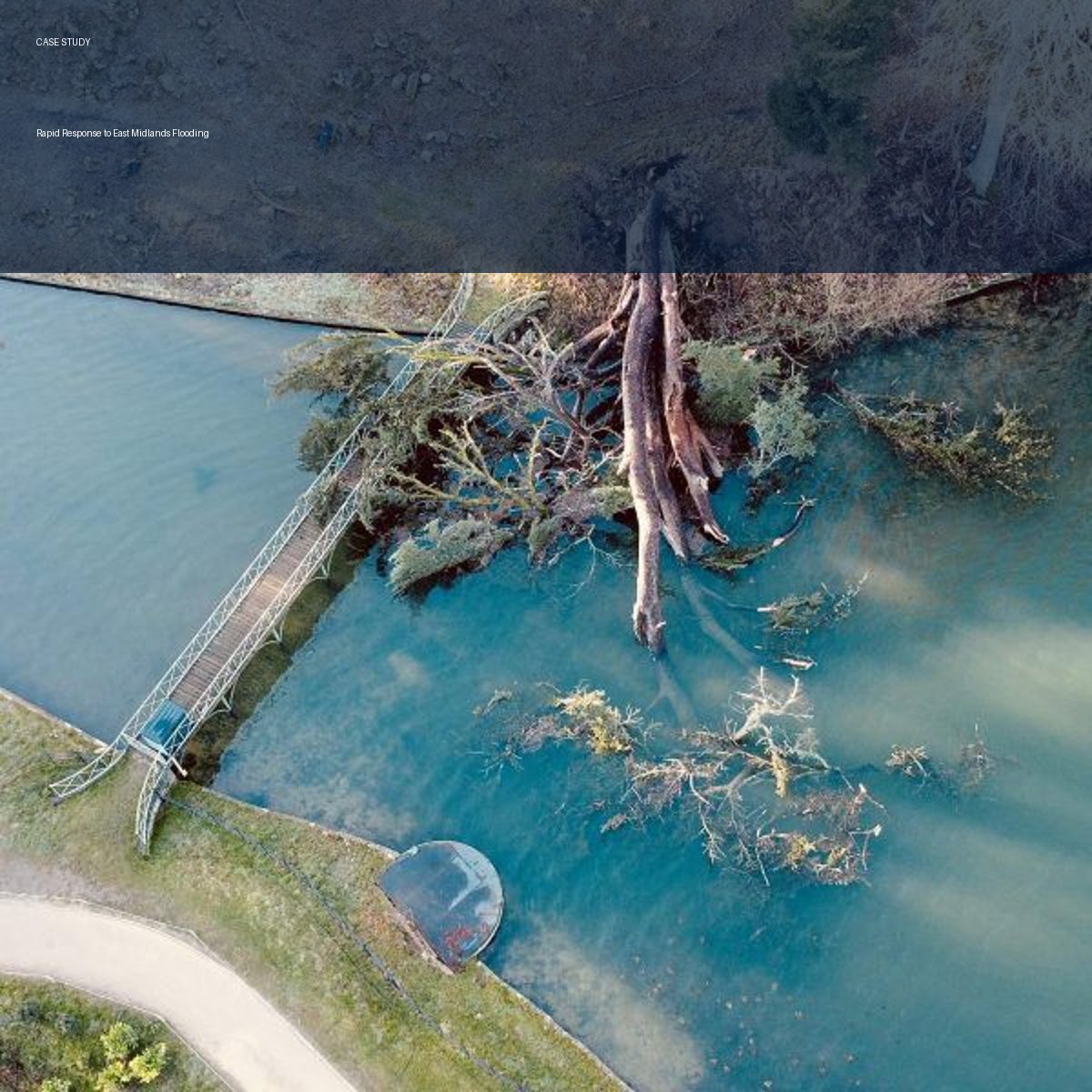
Rapid Flood Response
For emergency flood surveys, rapid response time are crucial. Flood evidence diminishes quickly. Deployment and data collection strategy is paramount to the success of data collection. For this project Storm Geomatics implemented real-time data collection and output for Environment Agency teams awaiting the information.
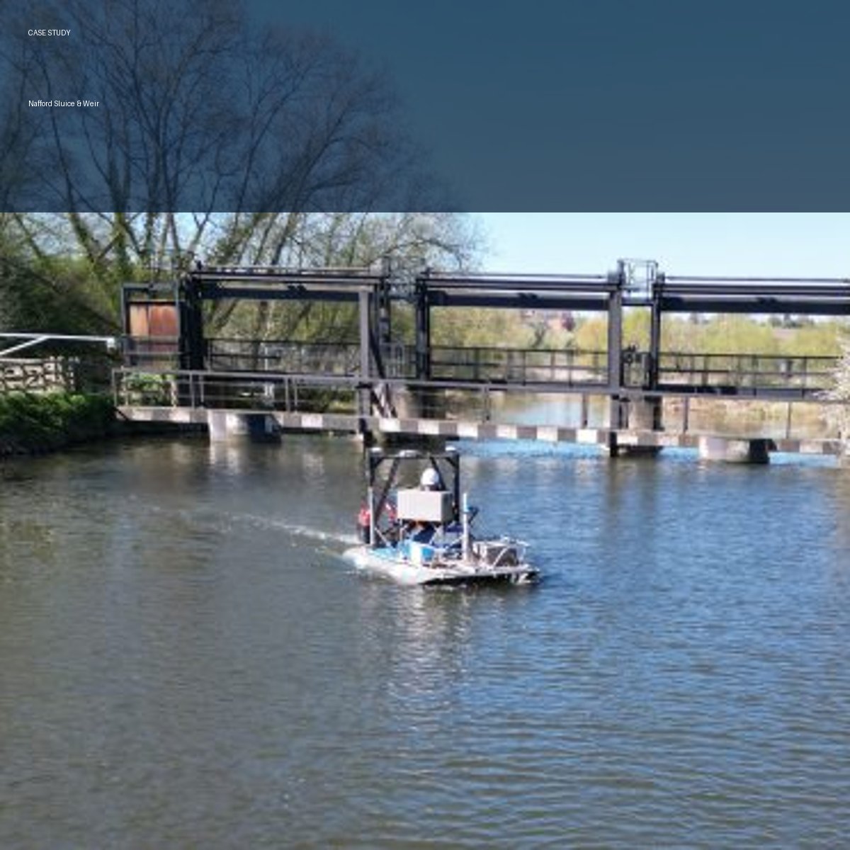
Nafford Sluice & Weir
Storm replaced risky diver inspections by producing a full 3D river model of the Nafford Sluice & Weir. High‑resolution geospatial data allowed asset managers to assess ageing structures safely and accurately, while providing engineers with reliable information for long‑term planning and modelling.
Nature Based Solutions (NBS)
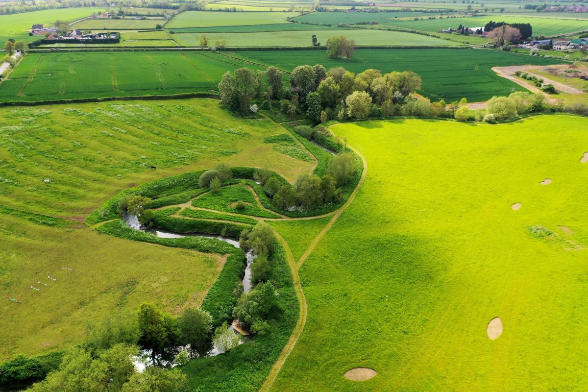
CDF2 is central to the UK’s long‑term environmental resilience strategy. Storm Geomatics support NBS feasibility through hydrology, habitat and geomorphology data, enhanced by Digital River Twin® scenario modelling.
WHY Storm Geomatics
- UK’s only river-environment survey specialists
- Nationwide mobilsation
- Water-safety trained teams
- GeoRiver® engineering workflows
- River Digital Twin® scenario testing support
- 20 years of specialist expertise
- Trusted by Environment Agency, Consulting Engineers & delivery partners
Our CDF2 Data Surgery gives you and your leadership team a clear, streamlined view of how survey data can directly support better planning, delivery, and assurance. If you would like to understand how geospatial survey data can unlock efficiency and reduce delivery risk book a surgery with one of our senior team at a time convenient to you.