South Wales to Derbyshire and beyond!
As mid-Summer 2021 approached Storm Geomatics survey team’s continued at a blistering pace across the UK delivering survey projects to both new and existing clients.
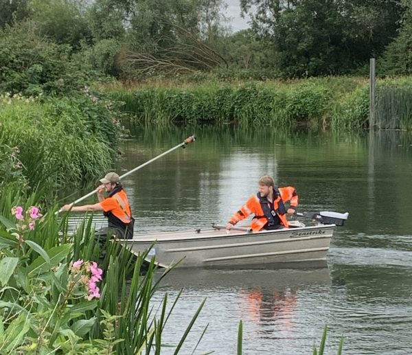
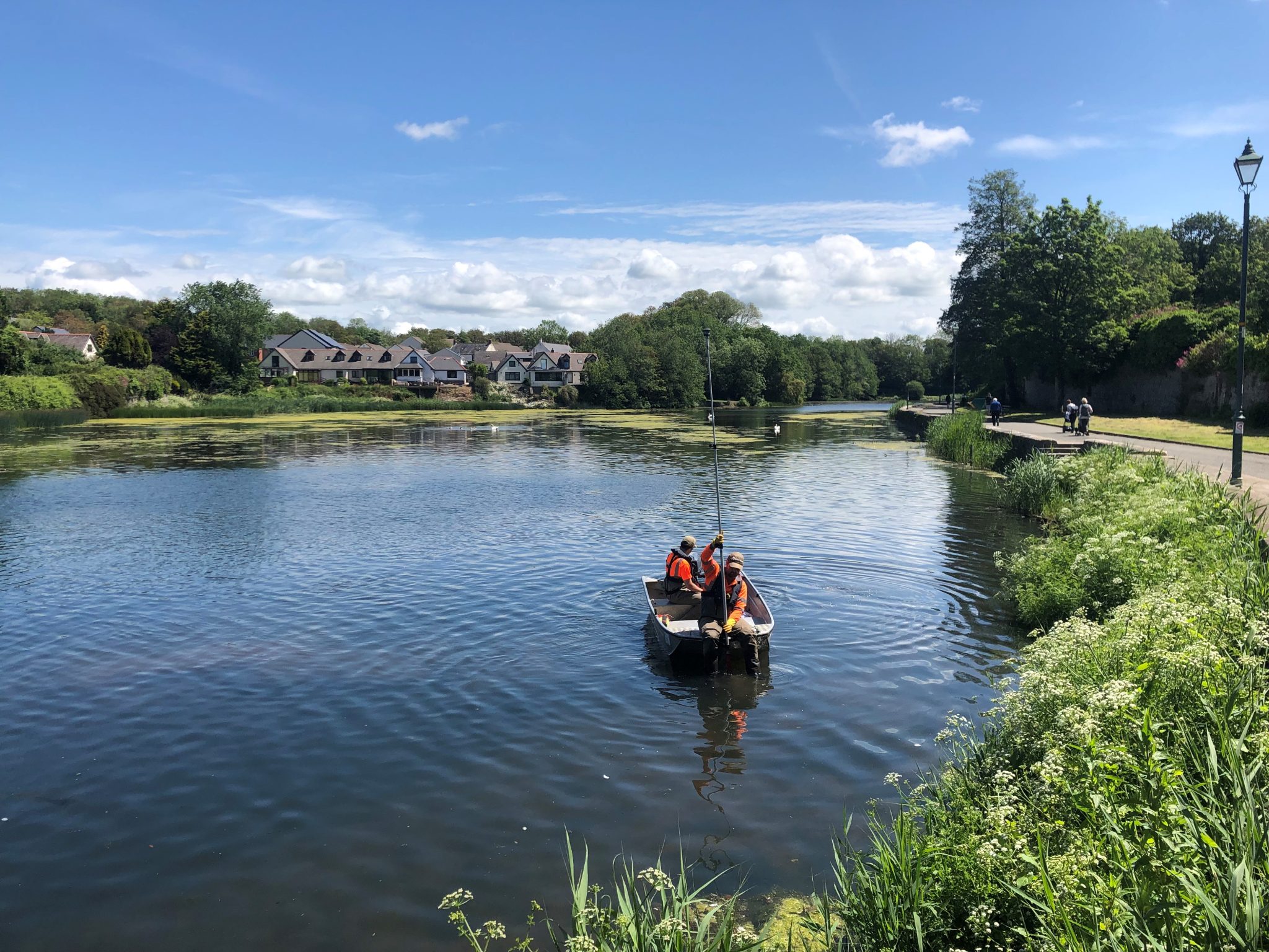
Early in June a survey team travelled to South Wales to carry out a channel survey in Pembroke. [nbsp]This included the mill pond, castle pond and the mill bridge road structure with critical levels taken of the northern arch to enable analysis for the potential design of a fish passage to improve the ecology of the area for Pembroke Town Council.
The working platform of choice was one of Storm’s aluminium workboats which enabled the RYA trained surveyors to access all areas of the ponds and river collecting hard and soft bed levels. The cross sections on the river were predetermined by the client at a spacing of 30m which was a sufficient resolution for the engineers to understand the geometry of the channel and create a hydraulic model to inform the fish pass design. The data was geospatially organised within the GeoRiver® software and grouped into cross sections and features and then exported into the different hydraulic model data formats that the client requested.
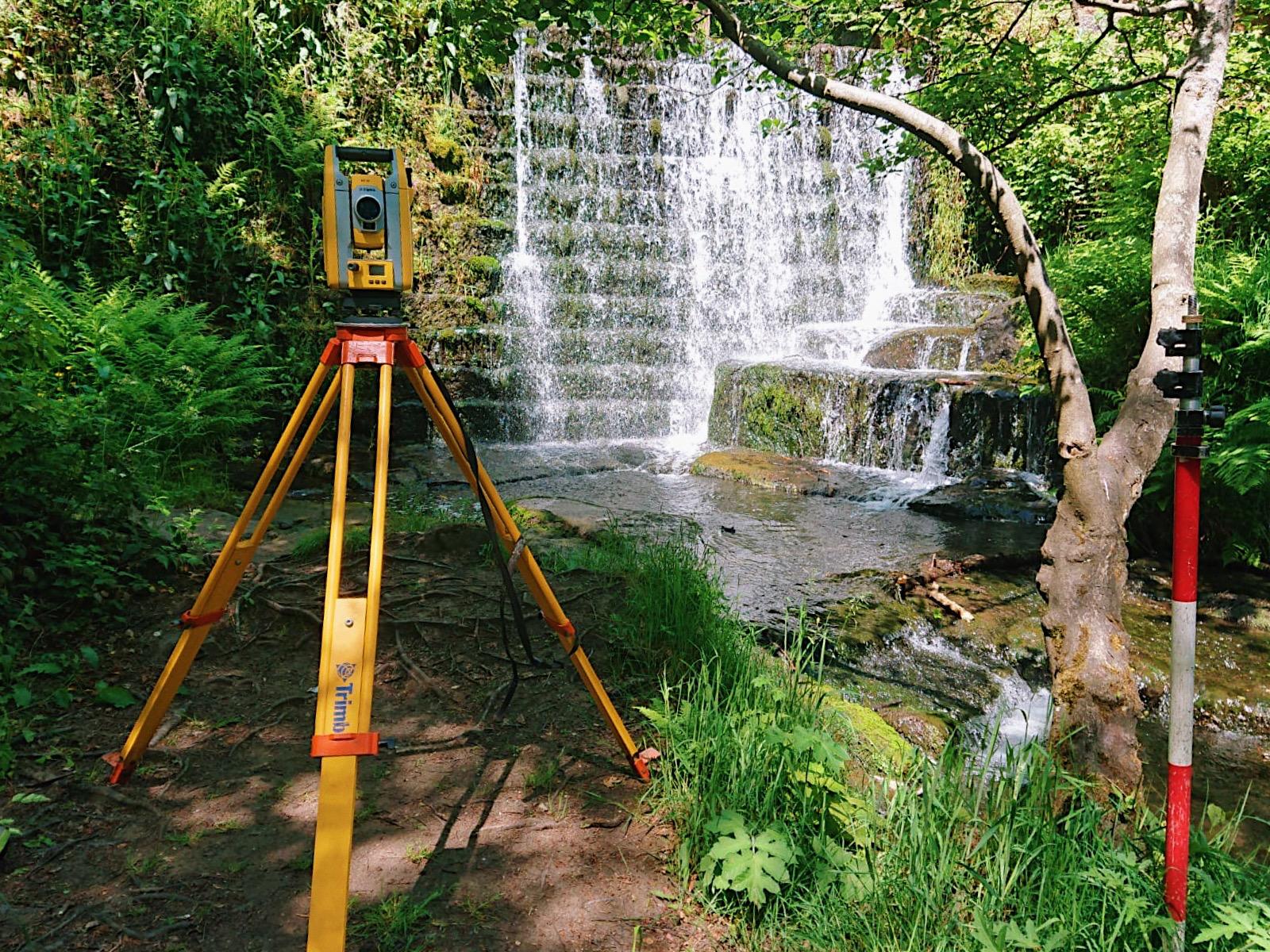
Also, during June, a long-standing Consulting Engineer client commissioned a large channel survey in Derbyshire of two watercourses, Hogshaw Brook and Bentley Brook along with tributaries across the Peak District. The purpose of the survey was to build hydraulic models for the Environment Agency’s flood risk mapping and ongoing management of flood risks. This large project required multiple teams of surveyors from two Storm offices to work on a coordinated approach ensuring a timely delivery will be met. This project is still on going and is on target to reach the delivery stage within the client’s specified date requirements.
The recent publication of [nbsp]the latest Environment Agency[nbsp]Standard Technical Specification for Surveying Services v5.0 now requires all members of the survey team to hold the DEFRA (Module 2) Water and Flood First Responder training. This was a welcome development for Storm Geomatics who have been training their survey teams with this qualification since 2007 when the company was formed. During June, three senior members of the survey team undertook their RYA First Aid Refresher training, another mandatory qualification undertaken by all Storm field staff.
A question that Storm’s Managing Director asked on LinkedIn “Are you using surveyors on your projects that have this training?[nbsp]“ This question created some interesting conversations on his LinkedIn post – using social media is so beneficial to discuss such important topics with fellow geospatial professionals, creating awareness and improving safety standards for all operational personnel.
The end of June saw a new trainee surveyor join the Storm’s southwest team as Shaun Vinnicombe was welcomed to the Storm family. After spending his first days at Head Office undertaking an induction course with senior management Shaun is now starting his first endeavours as a trainee in the field. Let’s check back in with Shaun later this summer to find out how he is progressing.
You can also keep up to date with the company’s activities through following our company LinkedIn page by clicking here.


Other News

Helping Clients Reduce Risk with Better Geospatial Data
London’s Underground Tunnels bring out the Rockstar’s of Geospatial Survey