Mapping Portal
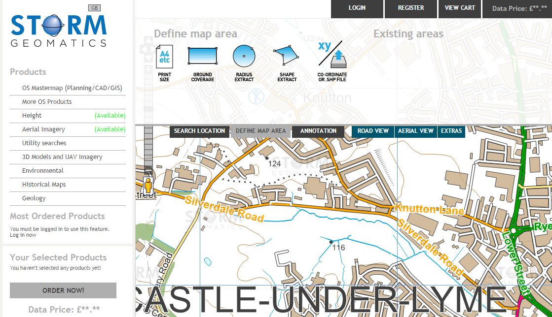
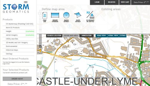
April sees the launch of the new Storm Geomatics Mapping Portal.[nbsp] The portal allows the simple and cost effective purchasing of mapping from below ground geology and utility plans to above ground Lidar and high resolution UAV survey data.
Ordnance Survey mapping, Environmental Reports and Historical maps can also be purchased here using the simple and intuitive user interface; simply register your details to setup an account and then search the map, using town, postcode or coordinates.[nbsp] Select the required map or report and then define your area using one of the simple methods or simply load a shp file polygon.
You can also annotate maps with lines, arrows and text or just pick particular detail to export, it couldn’t be simpler.
Using the UAV data requests you can purchase up to date high resolution surveys which will be completed soon after the request has been received and then delivered in a timely manner.
The environmental reports section delivers an array of reports from Residential Flood Reports to Coal Search Reports and many more.
The official launch will take place at Geo Business 2017 in London on 23rd and 24th May with those registering receiving a 10% discount for the entire year.
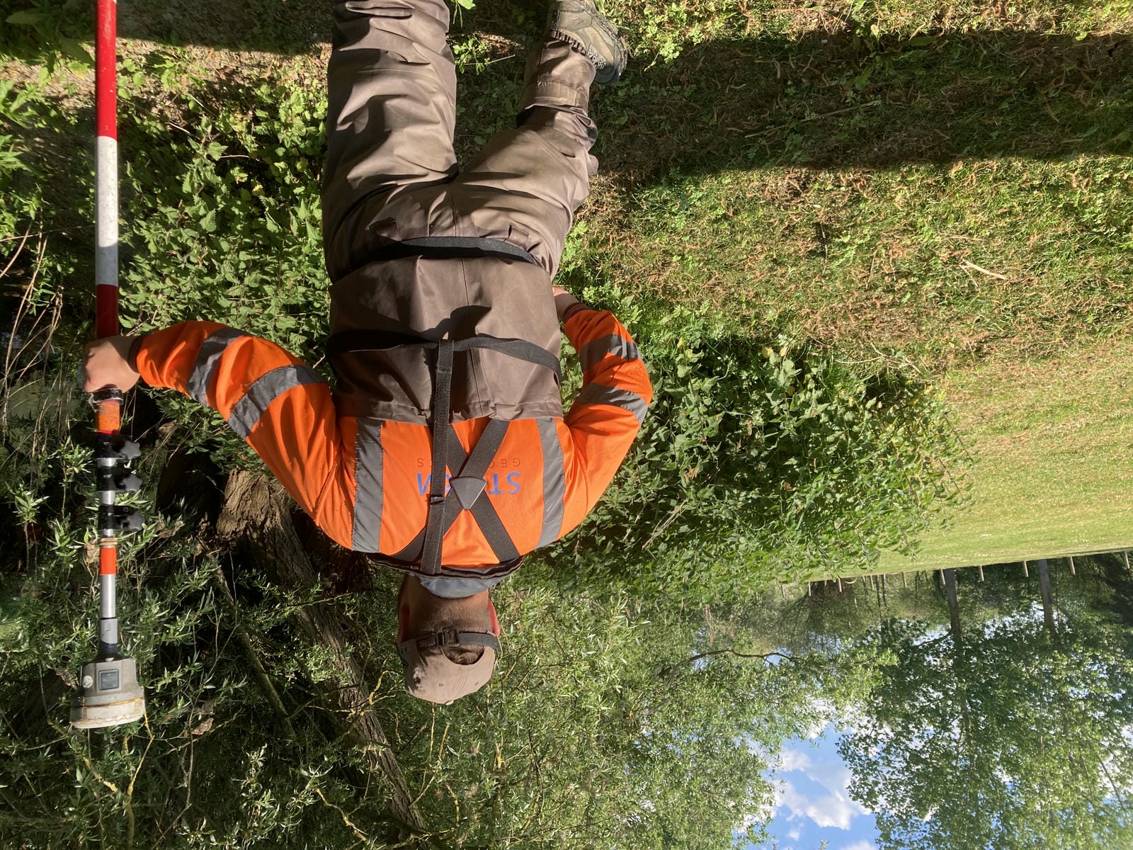
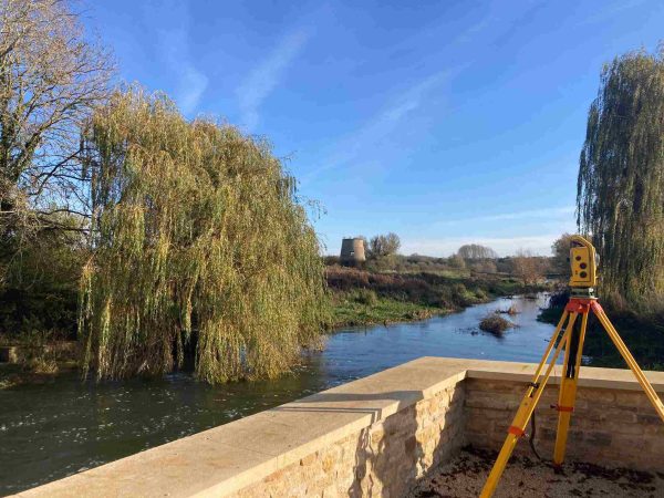
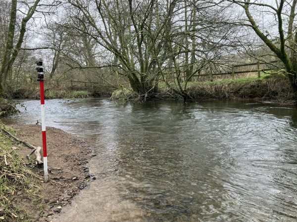
To start the month off, Storm had the fantastic opportunity to survey the ‘Fulling Mill’ stretch of the River Itchen in Hampshire – known to be one of the finest chalk stream trout fisheries in the country. [nbsp]The River Itchen is one of the finest chalk stream fisheries in the world and is also a ‘Designated Special Area of Conservation’ (SAC) due to its diverse aquatic wildlife. [nbsp]The combination of a delicate ecosystem and an abundance of paying anglers meant that they had to approach this survey sensitively.
Before setting foot on site, our team spent several days in the office negotiating land access with the individual riparian owners, so that they could visit their river banks on quiet days when there were fewer anglers present.[nbsp] This was also a good opportunity to talk to the locals about how flooding in the area has affected them, as these are the people who will one day benefit from the end result of our survey data.
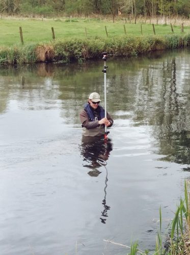
To further mitigate disturbance to fisherman and wildlife, the two man team on site completed a ‘dynamic risk assessment’ which allowed them to replace their standard ‘high-viz’ clothing with dark coloured fishing jackets. [nbsp]This worked to great effect, as the team enjoyed spotting beautiful Brown Trout, Bullhead and Grayling in the crystal clear water.
In total, the team spend just over two weeks on site to survey over 150 cross sections and structures and are now working hard to process the data back at our Office in Shipston-on-Stour.
Other News
Storm Geomatics’ Boldest Project Yet: To Transform Flood Risk Management
Storm Geomatics: A New Chapter Unfolds