News & Resources
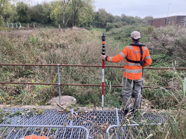
Gauging Stations Surveyed
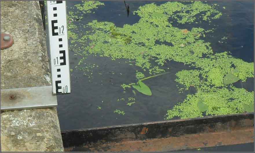
01.08.2011
Lots of gauging stations surveyed this month for the Environment Agency Thames Region. Full 3D models of each site were surveyed in northern areas of the region. Surveyors have provided the client with full topographical data within the ownership of each site to produce a plan that can be used for either engineering purposes or asset management. Critical levels of the sites were also recorded to ensure that data collected on the instrumentation within the hut is reliable for flood warnings and flow control.

Other News
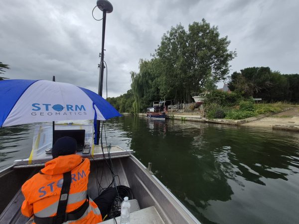
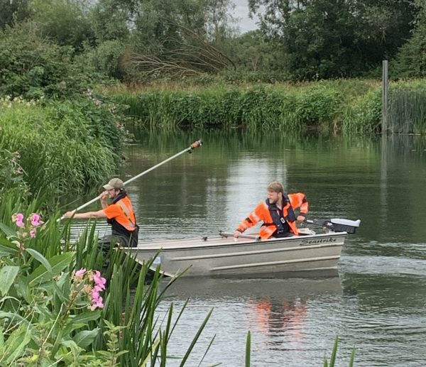
From Reservoirs to Riverbeds: July Survey Stories
This month we explore a snapshot of Storm Geomatics survey projects.
Powered by Electricity.
Storm Geomatics delivers flood risk survey at Frampton Ponds, upgrades to electric outboards & boosts biodiversity at wildflower meadow...
Surveying Through the Seasons
A channel cross-section job in Liswerry, Newport. The geospatial data collected will assist in updating the existing Liswerry...