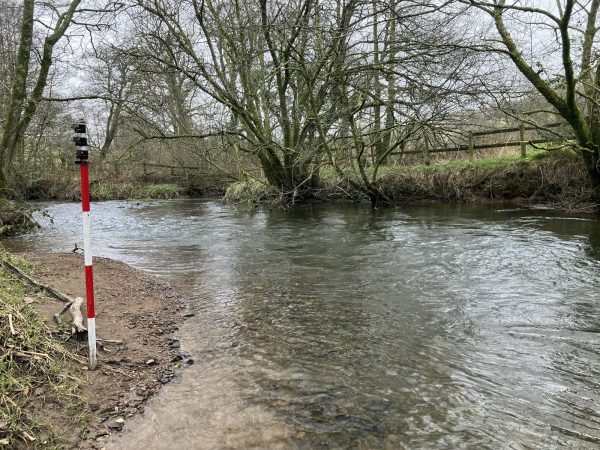
Chigwell Brook
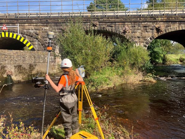
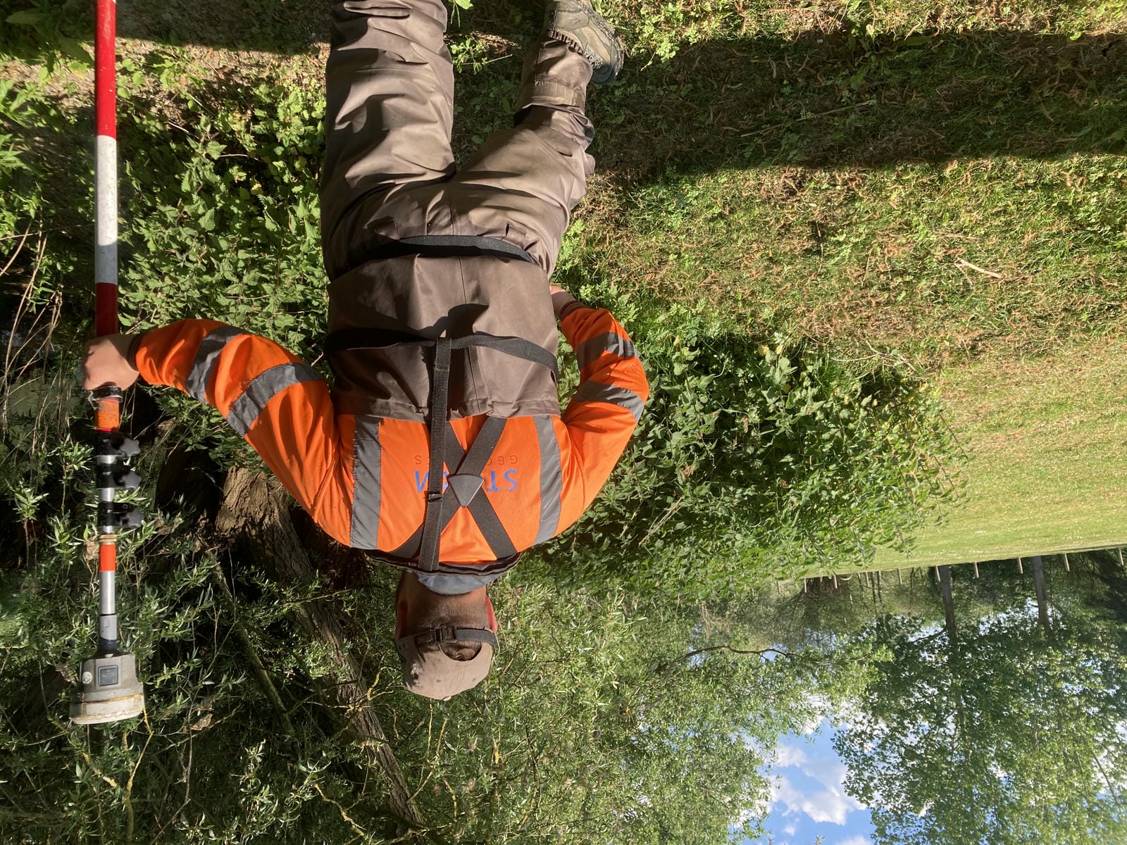
Storm Geomatics Surveyors have been out surveying Chigwell Brook this month. They have completed approximately fifty cross sections along a mixed urban/rural watercourse. This project was very challenging as access to some of the key structures was difficult. The survey team battled on and got the project completed in good time. Vegetation at this time of year also poses a threat to survey deadlines as surveyors take time to cut back foliage in order to expose the points of detail that the clients require.
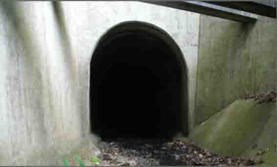
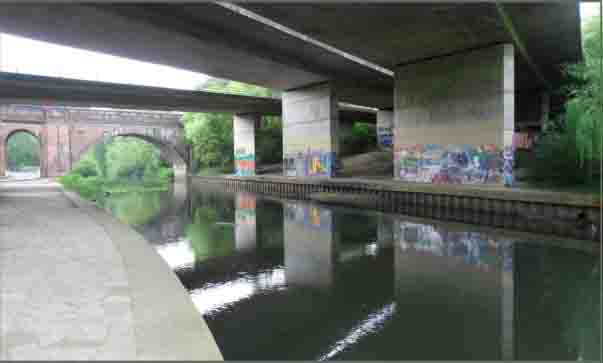
A survey team has completed a 3D model of a short reach of the River Lodden near Reading. The survey was undertaken to incorporate level data into a study of the conveyance of water under a bridge. It is thought that debris under the bridge is causing a restriction to flow and subsequently local flooding occurs. Storm Geomatics have provided detailed levels of the top and bottom of silt levels and produced a contour map of the level differences. An ISIS model of the reach was also supplied so the client could perform an analysis quickly with good, clean relevant data.
Other News
Pioneering River Digital Twin® Innovation and Optimal Survey Season Insights
Data to Decisions – Storm’s May Update