
Post matching 'generalGeneral'
Why Autumn Matters
While spring often receives the attention, experienced geospatial surveyors know that autumn is one of the most valuable survey windows of the year. As vegetation begins to die back, opportunities emerge to capture clearer information across river corridors, floodplains and environmental sites.
The result is often greater visibility, improved access and datasets that provide stronger foundations for engineering, environmental and asset-management decisions. For many clients, autumn surveys become the first step in next year’s projects. By the time designs are being prepared and funding decisions are being made, the opportunity to collect the right information has often passed.
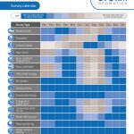
Use Storm’s Yearly Survey Planner as an accurate guide when to procure our services to maximise return on your investment of survey data.
September began with a company-wide gathering that united colleagues from across Storm’s offices. The event provided an opportunity to review strategic priorities, share ideas and align around the company’s continued growth as the only UK Geospatial Survey Company to concentrate on inland water projects.
Alongside workshops and strategic discussions, the team visited Halford Flood Meadow for a video shoot showcasing Storm’s specialist river and floodplain survey expertise. The location provided the perfect backdrop to capture the work Storm undertakes to support flood resilience, hydraulic modelling and environmental projects across the UK. It is also site where all site training takes place.
Away from the survey, the team enjoyed and afternoon learning to play padel, relaxed together and sampled locally sourced produce, reinforcing the collaborative culture that remains central to Storm’s success.
Better Flood Models Begin with Better River Data
One of the most common themes Storm Geomatics encounter is that project risk often originates much earlier than many people realise.
Not during construction. Not during design. Not even during modelling. It starts when assumptions are made about the quality, age or suitability of the available survey data, and then rework costs can spiral.
September also saw the publication of Storm Geomatics’ River Griffin case study.
The project demonstrates the importance of capturing accurate and appropriate river data at the beginning of the hydraulic modelling process. When survey information accurately represents channel geometry, structures and surrounding terrain, project teams have a stronger evidence base for modelling, design and decision-making.
It reinforces a principle that is one of their four cornerstones: Accurate Data Capture
Read the River Griffin case study: Here

Horsbere Brook; Not Just Capturing Data
This theme is reflected in a recent project at Horsbere Flood Storage Area in Gloucestershire.
The project involves the repeated monitoring of a flood-storage embankment through precise levelling, cross-section surveys and topographic data capture, with results compared against previous years to understand whether meaningful change is occurring.
Following this summer’s prolonged dry conditions, Storm surveyors also recorded visible evidence of desiccation across parts of the site while undertaking the latest survey programme.
A forthcoming case study will explore a growing challenge for asset owners across the UK:
How do organisations move beyond collecting data and begin understanding change over time?

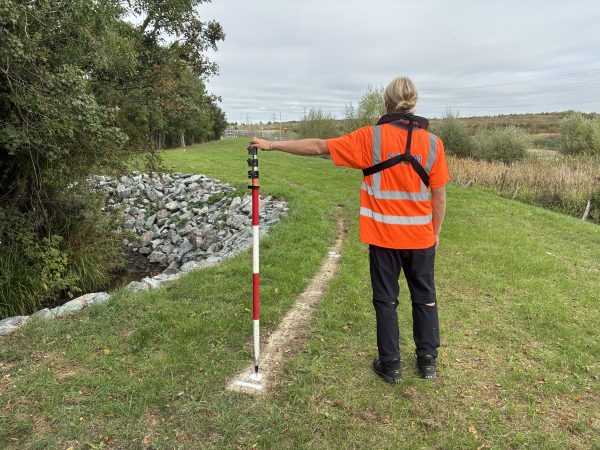
September also saw Tom Le Maitre join Storm’s Thornbury office as a Trainee Surveyor. His first weeks have already included practical experience supporting survey activities at Horsbere Flood Storage Area, working alongside experienced surveyors and gaining hands-on experience with industry-leading equipment.
Trust, Transparency and Carbon
In a recent article for CICES magazine, Mike Hopkins explored the relationship between trust, transparency and carbon reporting, highlighting the growing importance of evidence-based environmental claims. Storm Geomatics reject greenwashing by focusing on real, accountable actions—reducing our environmental footprint, investing in innovation, and continuously improving. This is achieved by ISO 14064-1:2018 certification for greenhouse gas accounting and is verified to ensure Storm’s progress is measurable and transparent.
Mike Hopkins commented; People that look for a reason not to take action to reduce their green house gas emissions are the biggest problem to our planet, reducing emissions is in the hands of human beings!
Welcome back to Sam
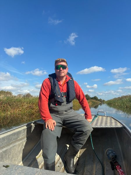
Returning to our team is experienced surveyor Sam Dexter who returns after working “Down Under” as a Geospatial Surveyor for two years. Sam has broadened his experience during his time away, sometimes in extreme environments, so returns as a Senior Surveyor leading some of our more challenging projects. The team are thrilled to have Sam back to offer his steadfast work ethic and knowledge.
There are no posts matching your criteria.