A Record Month Surveying Rivers

September wasn’t just busy, it was historic. Across the UK, Storm Geomatics survey teams were out from dawn to dusk, collecting vital data from heritage harbours to nearshore outfalls. It became the company’s highest turnover month in 18 years, powered by teamwork, and a shared commitment to making Britain’s inland waterways safer and more resilient.
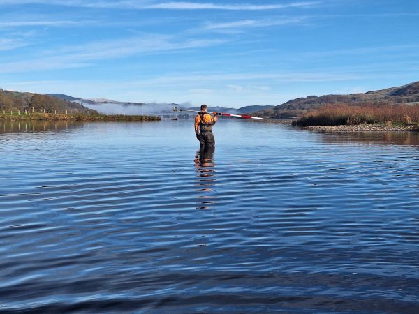
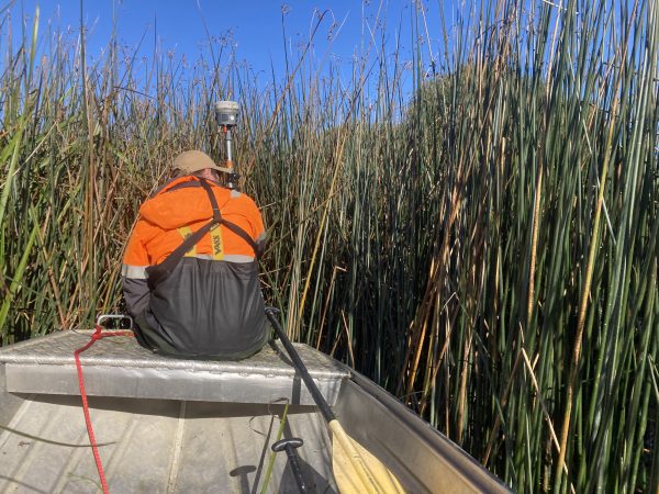
Across the UK, Storm Geomatics’ survey teams have been delivering precise data for heritage and infrastructure projects, from Lydney Harbour on the River Severn to the Front Shore Outfall in Poole, Dorset. These projects demonstrate how geospatial data supports better decisions, safer assets, and long-term resilience of assets position in challenging environments.
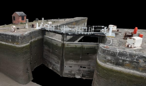
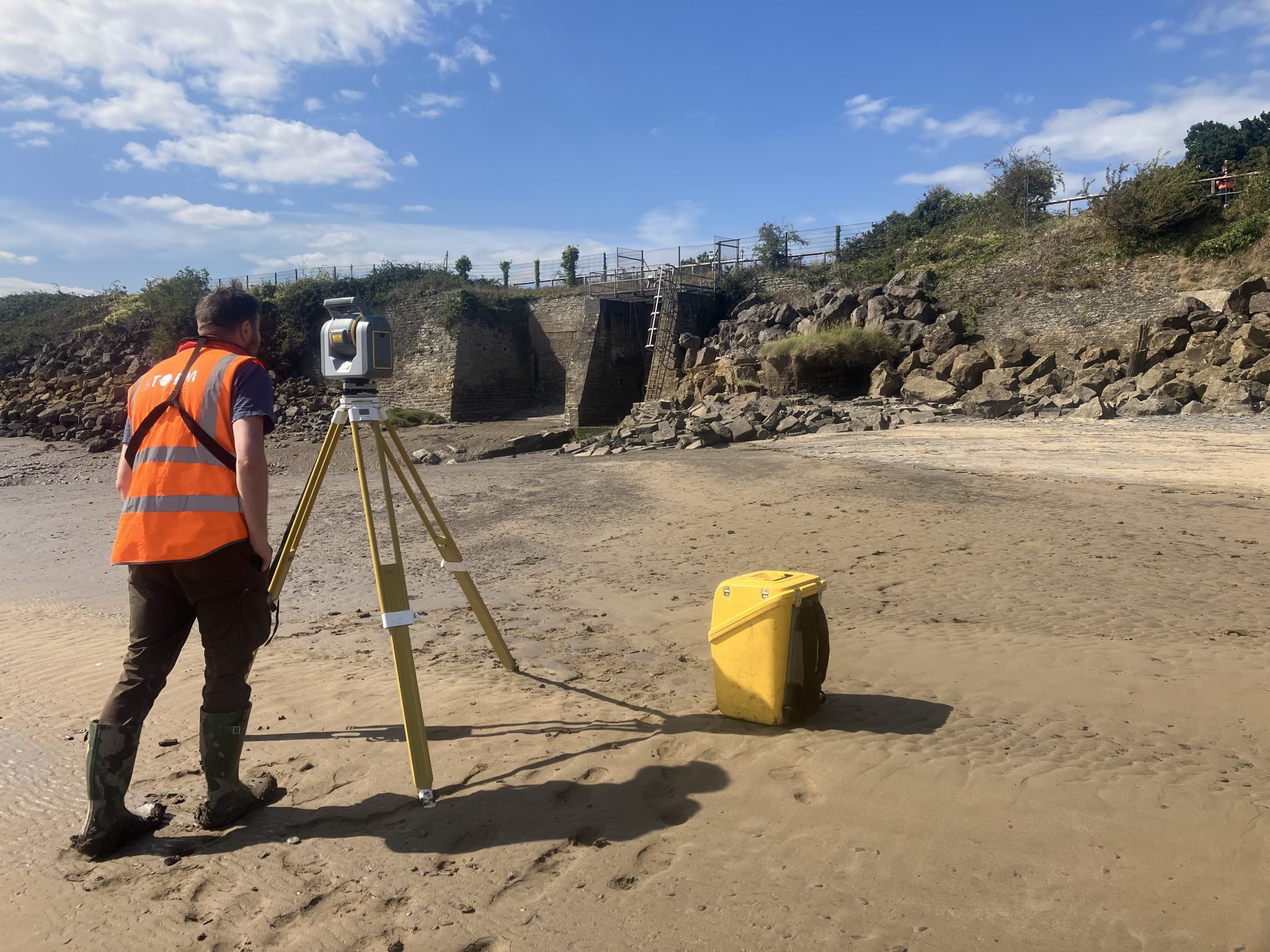
At the edge of the River Severn lies Lydney Harbour. Once a bustling export point for iron and coal, the harbour now plays a quieter role, its structures weathered by time and tide.
Storm Geomatics were recently commissioned to provide a comprehensive suite of surveys of the harbour’s lock gates, walls, and surrounding infrastructure. This survey was required to ensure the River Lyd remains navigable and to preserve this historic structure. Storm’s team deployed a combination of terrestrial laser scanning, topographic surveying, RPAS photogrammetry and Utility Surveys. Explore the Lydney Harbour case study to see how the data set will allow correct maintenance and preservation to take place, prolonging the lifespan of this harbour.
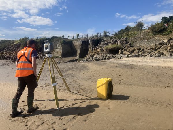
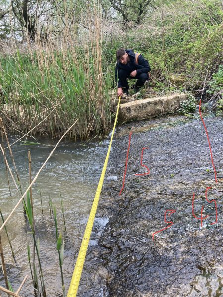
Further south, another survey team were deployed to Poole Front Shore Outfall (FSO) to support essential infrastructure maintenance. Storm Geomatics were asked to provide channel survey data to plan trenchless pipework installation at three sites that included a water recycling centre:
The mix of historic and operationally sensitive structures, from a 15th-century mill to several operational weirs meant this project required a surveying partner that was able to manage risk.
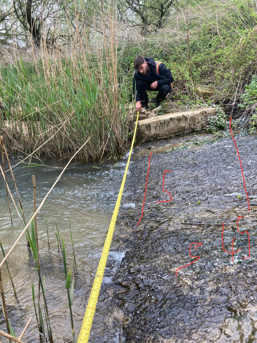
James Walker Trainee Surveyor, recently completed the first block of the Geospatial Survey Technician apprenticeship at Dudley Institute of Technology.
Details of Geospatial Apprenticeships are explained by The Survey Association.
James reflects; “I’ve recently completed my first block of the Geospatial Survey Technician apprenticeship at Dudley Institute of Technology, and it’s been very interesting to see how the theory we’ve covered such as GNSS and different survey styles links to the practical work that I have been doing over the past year as a Trainee Surveyor.
This apprenticeship is really helping me to understand the ‘why’ behind the methods we use on site making this a great step forward for the beginning of my career in surveying.
Looking forward to learning more and developing my skills further as the apprenticeship continues.”
As Autumn settles in Storm Geomatics enters the new season with demand for surveying services at an all time high. Want to discover what is driving the momentum? Stay up to date with the survey projects and technical innovations on Storm Geomatics LinkedIn.
Other News
January’s Surveying Surge: Holding Back the Flood

That’s A Wrap: 2025 River Surveys & Festive Resilience