Surveying Railway Bridges
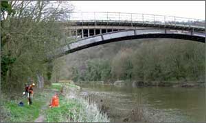
Storm Geomatics were awarded a contract to survey the elevations of forty-two railway bridges that passed over watercourses. The bridge locations were spread from London to Carlisle and were requested to be tied into Ordnance Datum. The project is part of a scheme to improve flood warnings for the Network Rail infrastructure.
A flood risk assessment survey was carried out on Pendlebury Brook, St Helens, Merseyside. The project included the survey of cross sections along the Brook, details of the pumping station, flood plain levels and over one hundred threshold levels. The project was completed on time and within budget.
A grid of levels was surveyed over the grounds of the George Hotel in Chollerford, Northumberland. Levels were surveyed to Ordnance grid and datum and also compared to Environment Agency Control. This information was used by modellers to assess the risk of flooding to the hotel.
Other News
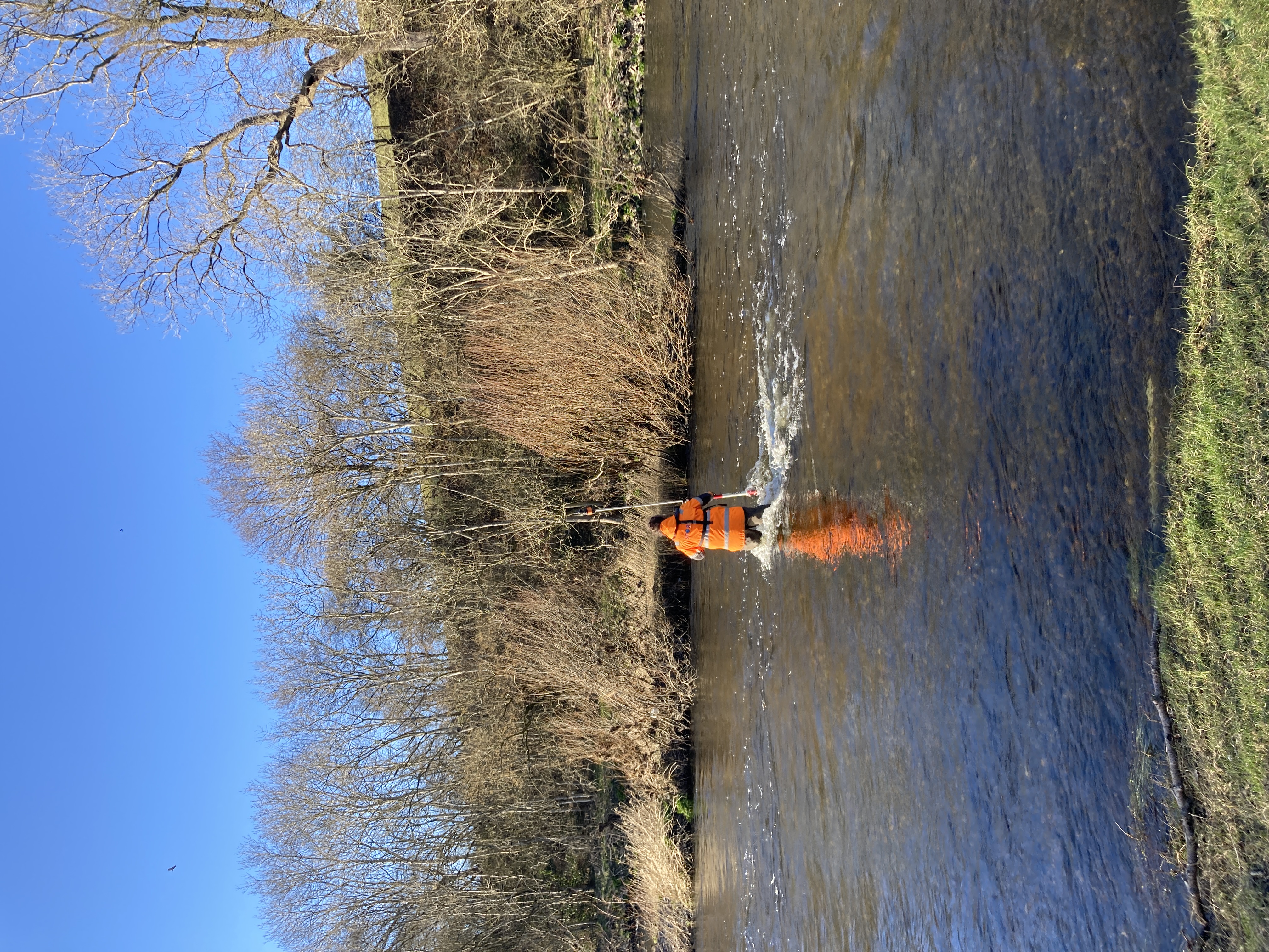
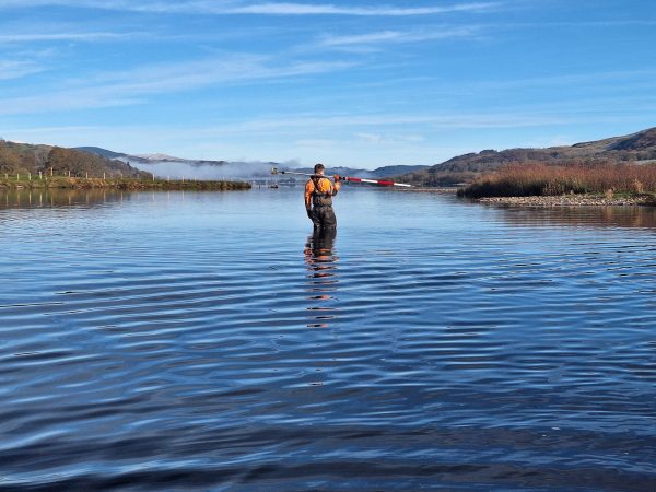
From Dee to Data: Storm Delivers Dynamic River Data
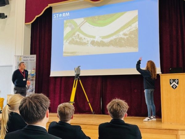
Future River Surveyors, How to Inspire Them…