Survey Teams Mobilised in Norwich

Survey teams mobilised on projects in Norwich, Barrowden in Rutland, and Bourton on the Water in Gloucestershire.
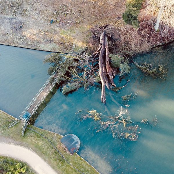
In Norwich, a fifty acre brown field site was levelled with two GPS RTK rovers in order to calculate a flood risk assessment for the site.
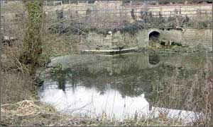
Storm Geomatics carried out a feasibility study on a mill pond restoration project at Barrowden. The original channel to the Mill pond has been filled in, and has left the pond stagnant. Surveyors worked out a route to take water off the nearby River Welland, and working with hydraulic engineers, provided an outline scheme and costing to bring fresh water back to the pond.
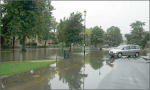
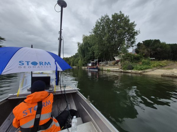
Storm Geomatics won a contract from the Environment Agency Thames Region to survey the flood stricken Bourton on the Water. Surveyors gathered information on the flood event that hit Bourton on 20th July last year, finding out flood peak levels, existing building threshold levels, and direction of flows. Residents and business owners were also interviewed to get feedback on the sequence of events.
Other News
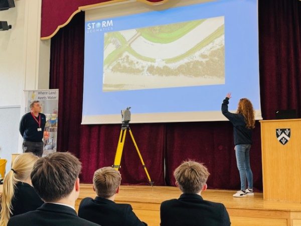
Future River Surveyors, How to Inspire Them…
From Reservoirs to Riverbeds: July Survey Stories