River modelling
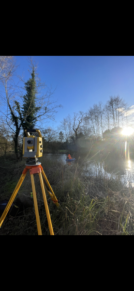
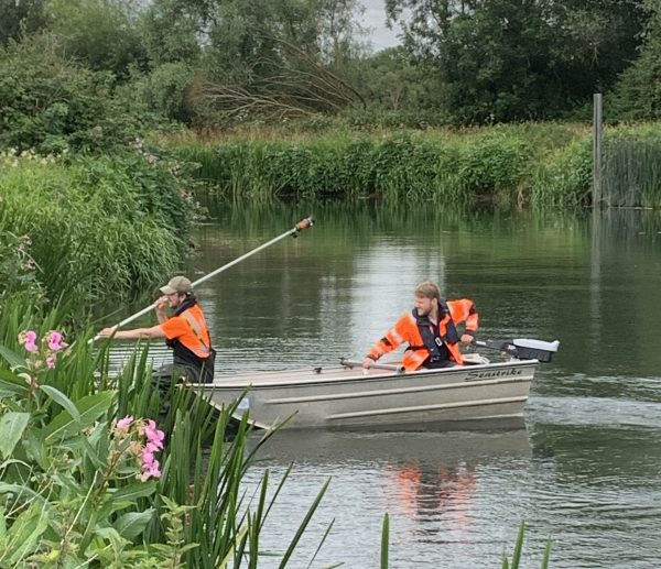
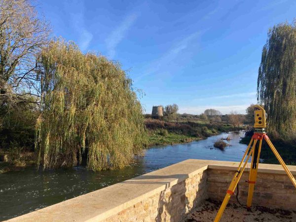
River modelling has been the core activity of Storm Geomatics from the outset, and there was no change to this in May. Surveyors have captured and created river model data for watercourses in Weston-sub-Edge and Naunton in the Cotswolds, providing the client with critical level data to exacting standards in order to better understand the flooding issues in the villages. The River Pang at Hampstead Norreys was also surveyed this month and the Environment Agency will use the drawings and model data to quantify flood risk and consider flood alleviation schemes for the village.
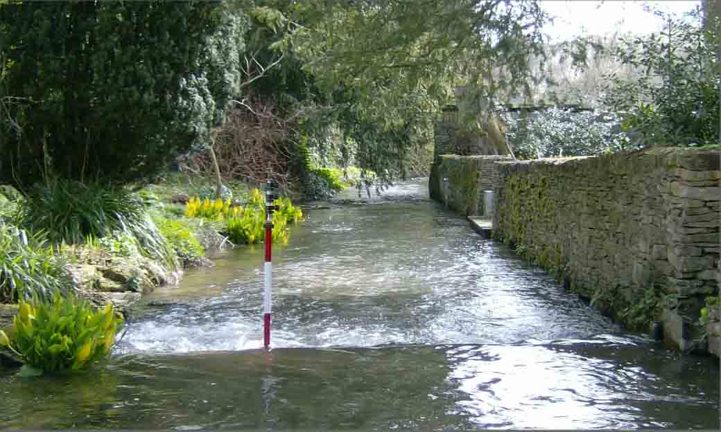
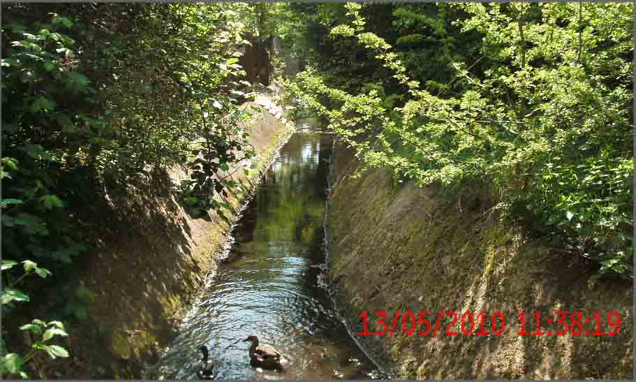
Storm Geomatics have undertaken some fairly large topographic surveys in Swindon and Abingdon for river asset records and also to look at the feasibility of a flood storage area. As the foliage thickens, surveys around the river become tougher as sight lines diminish. Surveyors covered in insect repellent and sun cream have been slowly hacking though the undergrowth to capture those critical survey points – it?s a good job the summer offers more hours of daylight to compensate!


Other News
Powered by Electricity.
Storm Geomatics’ Boldest Project Yet: To Transform Flood Risk Management