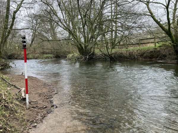
Recording peak flood levels

Surveyors were asked to record peak flood levels in areas of South Yorkshire which flooded over the Christmas period. It is important to mobilise on flooded areas quickly to capture flood event data as the physical evidence can disappear within only a few weeks. By recording geospatial data of floods engineers can plug these and the actual rainfall data into their hydraulic models and calibrate the model to run true. This understanding of water dynamics helps to predict flood events and planning of defences to reduce the flood risk to people and infrastructure in the future.
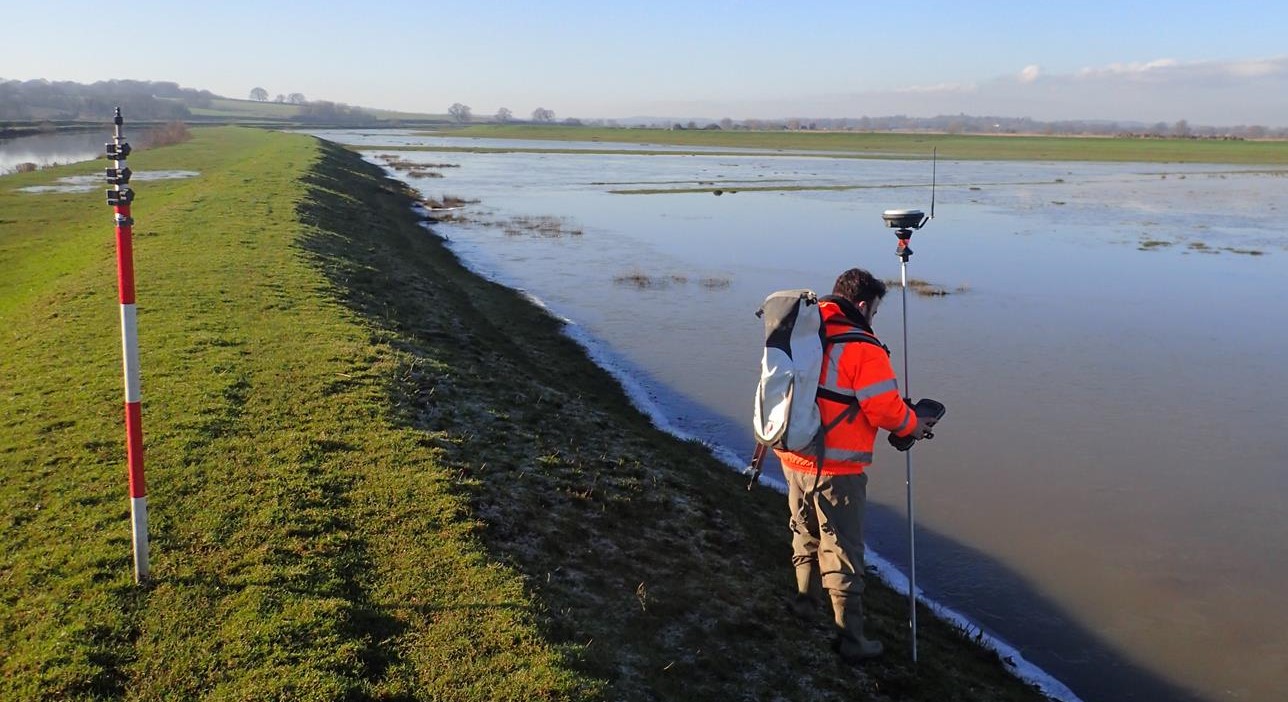
Storm surveyors have been out surveying embankments for improvement works in Kent this month. Embankments along rivers are used to protect adjacent land from flooding, they can also be used to contain water during high rainfall periods in flood storage areas. It is important that the embankments are maintained and monitored to ensure the safety of people and infrastructure. Earth embankments can move over time, reducing their design function and potentially becoming unstable. Storm provided extensive embankment profiles and cross sections adjacent to the River Rother ahead of improvement works to give the area a reduced risk of flooding.

Other News

That’s A Wrap: 2025 River Surveys & Festive Resilience
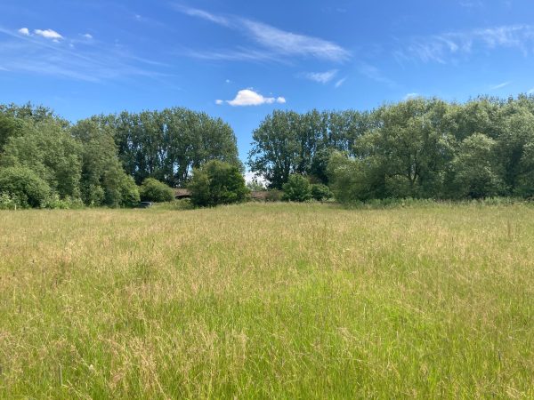
Midsummer Species Count Brings Diversity to the Meadow