Full steam ahead in flaming June!
Time to reflect on June, as[nbsp] promised, after lockdown, the team have come out of the starting blocks at full pace to now be delivering quality geospatial data for various flood alleviation schemes throughout the UK.
Storm surveying teams are now benefiting from the time used during April and May to innovate the survey methods and data collection. One of the four cornerstones of business at Storm is to provide Superior Value to all our customers, achieved through what Storm employees believe, are higher standards of service. Storm Geomatics stand alone in the value they provide, always tracking back to the innovation undertaken and seeking to improve as each project reaches its conclusion.
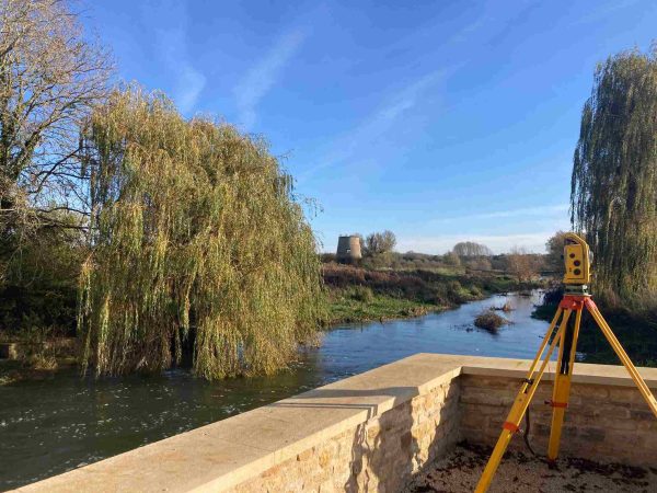
There have now been a variety of differing projects undertaken during the month of June 2020. A major project has taken a team of four surveyors to Chimney Meadows Nature Reserve located in West Oxfordshire working on behalf of the Berkshire, Buckinghamshire and Oxfordshire Wildlife Trust (BBOWT). Two types of geospatial data were required by the client, cross sections of the River Thames tributary channels and topographic data of their surrounding fields. The area contained rich biodiversity and there was a designated part of the site which was set aside for ground nesting curlews, a bird species recognisable due to their long, curved beaks and distinctive call.
Due to the recent dry months the area was typically arid but there were noticeable signs that the area had recently been under a substantial amount of water. Distinctive water marks on the trees and debris deposits set back far from the river indicated the difference a few months can make and why this is the perfect place to create wetland habitats. One condition that river surveyors face less typically was a field of young and very inquisitive bullocks that kept the team on their toes by showing them around their fields as they worked![nbsp]
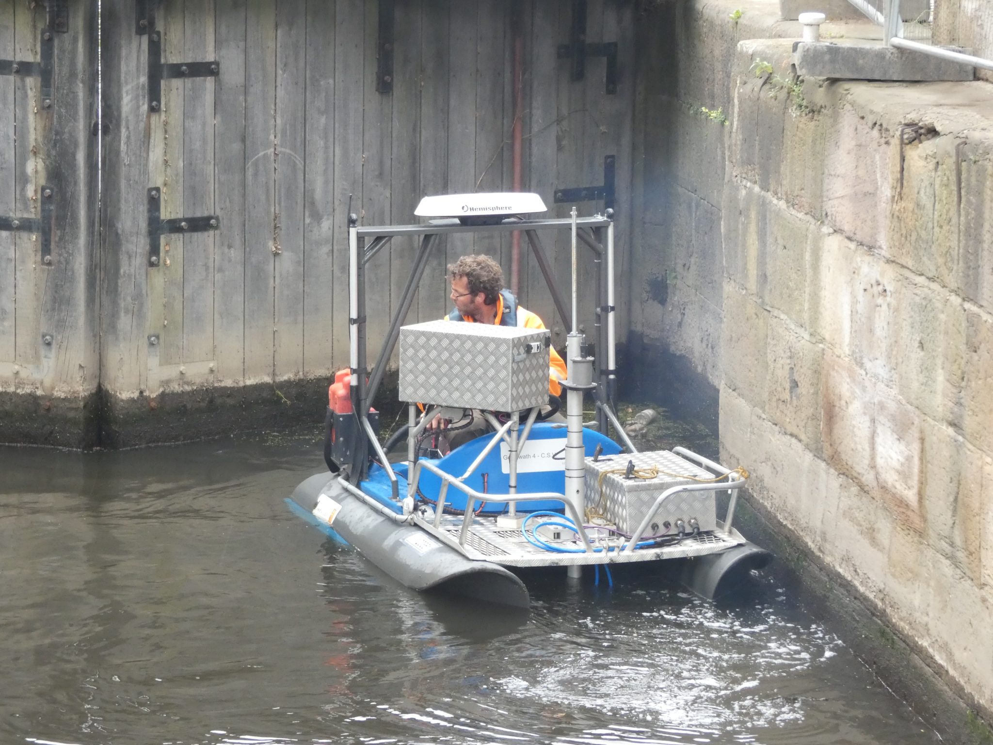
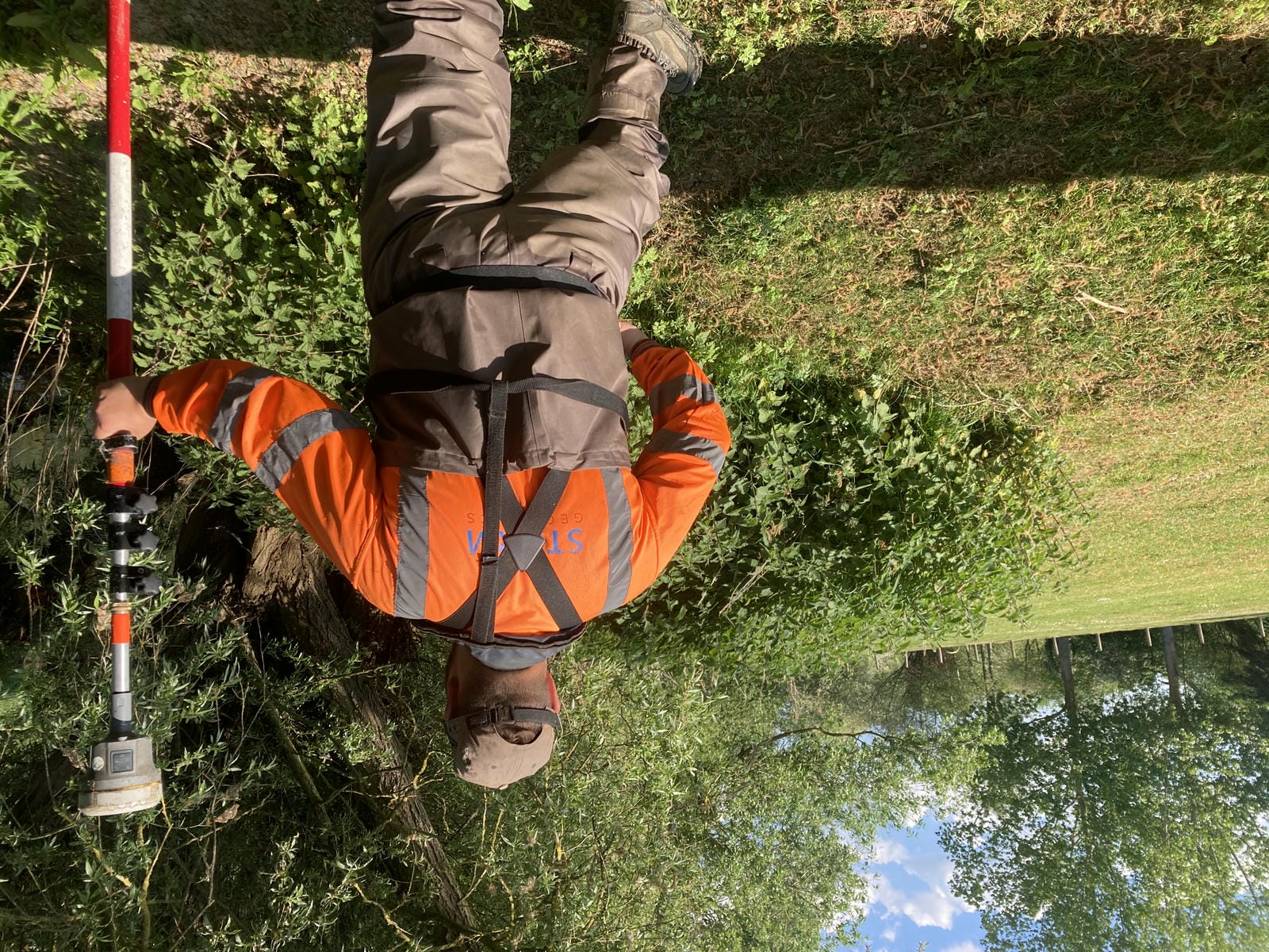
Meanwhile another team of surveyors undertook two diverse projects in Rotherham, required as part of the Rotherham Renaissance Flood Alleviation Scheme. Two sites along the River Don [&] Holmes Goit canal were surveyed to allow structural engineers to design and maintain new, and existing, infrastructure.
Firstly, bathymetric surveys were completed at each site using the mighty Storm GeoSwath Multi-beam Compact Survey Vessel, to deliver a dense point cloud. These scans included two lock structures, which were picked up with fantastically clear detail.
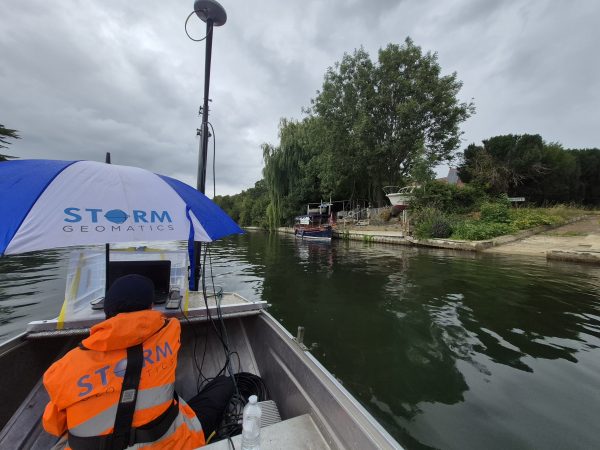
Next, the sites were given a full topographic survey using traditional pole and prism techniques. This allowed surveyors to probe through the deep silt and take hundreds of measurements across the hard bed, which the engineers require to design piers and abutments for any future infrastructure. The topographic data was used to deliver a high detail Digital terrain Model (DTM) alongside the usual cross section drawings.
In addition to survey work, Storm Geomatics is able to coordinate a range of additional services. This can save clients money by completing a larger spectrum of disciplines within the same deployment.
In this case, the Storm team worked with a local drilling company to collect core samples through a thick stone canal wall. This will allow the engineers to establish the depth and load bearing capabilities of the walls. Following on from that, we collected silt samples and sent these off for testing. This data will be used for a range of environmental and ecological purposes.
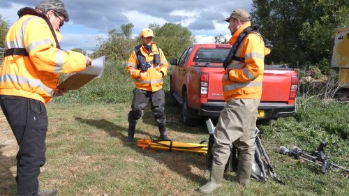
The projects were completed in good time and incident free, due to the highly trained work force employed at Storm Geomatics.
The first cornerstone of business at Storm is to Reduce All Risks, each surveyor and trainee have investment used on them to become trained in water safety. MD Mike Hopkins, visited sites this month to audit teams ensuring the RAMS are being upheld and adhered to in detail. Safety first always.
As ever Storm’s social media channels are buzzing with information on projects and the adventures each team experience. Please keep tuned in as there is always an interesting survey or a new approach to be shared and benefited from.
Did anyone catch the live IGTV chat Mike [&] Polly shared with Elaine Ball, Geospatial Marketer earlier in June? Elaine is keen to build a community within the Geospatial industry and broadcasts the LIVE chats every TUESDAY at 4.30pm BST on Instagram TV. [nbsp]Do listen, there are a great variety of geospatial experts taking part. #strongertogether [nbsp]#keepsurveying

Other News
From Reservoirs to Riverbeds: July Survey Stories
Data to Decisions – Storm’s May Update