Embracing change
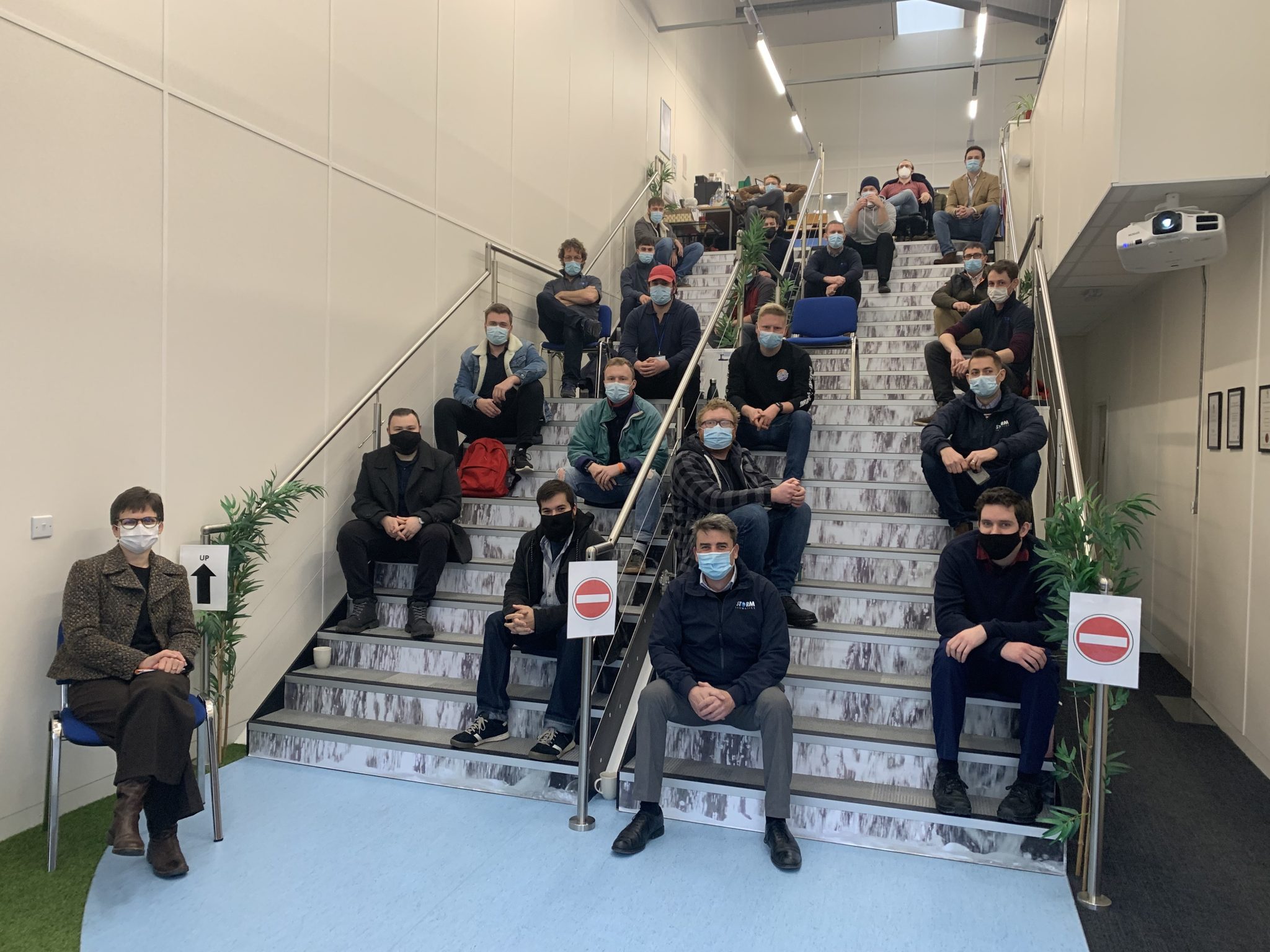
Storm were excited to bring the entire company together in mid-December for the first strategic day in two years. It was a day to discuss Storm’s progress and future and how each of the team can embrace change within Storm and the wider Geospatial Profession. Also, to assist with improving our natural world through Storm’s core skills. The day was kicked off by speaker Julia Goodfellow-Smith MIEMA CEnv who explained how to achieve your bucket list both personally and professionally. During the day Mike Hopkins and Anthony Pritchard reflected on Storm’s experiences and how suggestions from the previous strategic day in 2019 are being implemented to improve the whole team’s working life.
It was also a time to celebrate two more promotions, Tom Atkinson to Senior Surveyor and Jon Tanner from Assistant to Junior Surveyor. Both are key members of the team and paramount to the success of the future Storm Geomatics.
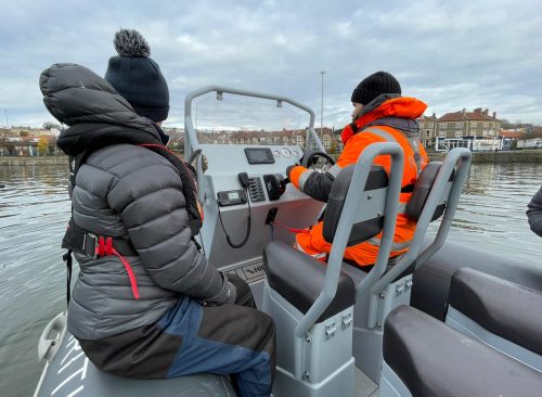
Three members of the surveying team, Josh, Jon and Ollie, undertook their RYA Power Boat Level 2 course conducted by trusted suppliers Bristol Maritime. The first day consisted of learning the theory side, which included different types of knots used in boating, learning what different buoys meant and how these can help navigate around shallow areas or wrecks for example. And finally, learning how to plot routes across water.
Once the theory was complete the surveyors set off around the harbour to learn the controls of the boat and the checks required before setting off. Next, how to do turns in tight spaces, how to park up against walls and jetties and a cruise down through the centre of Bristol. On the second day took the boys out into the Bristol Channel to practice man overboard procedures and to experience driving the boat (which was great fun!). The three surveyors concluded “Although being cold, wet and windy it was still a brilliant 2-day experience.” During a typical river survey this qualification is vital to ensure safety of both the survey team and other river traffic users. Storm ensure all surveying colleagues hold this qualification.
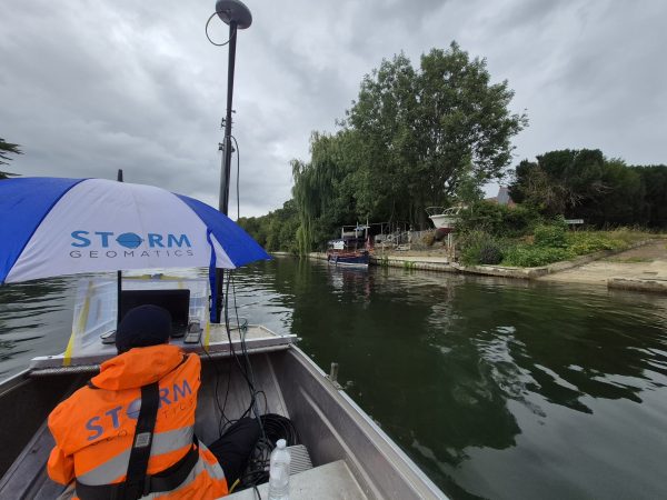
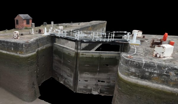
A survey team undertook a full topographic survey of two large road bridges in Kings Lynn, Norfolk during December. Using a terrestrial laser scanner and the mighty Storm Geoswath multi-beam bathymetric surveying to construct full 3-D point cloud representations of the bridges both above and below water. This was achieved from multiple setups of laser scanner and passes of the multibeam swathe to ensure no shadows or gaps in the point cloud data. Using these techniques in combination ensured that the challenge of capturing the data both above and below the waterline was as easy and as safe as possible to do. As a result, every part of the bridges and riverbed was captured and is represented in the final deliverables. This provided the client with comprehensive and high-quality data to use as a solid foundation to base their future work from.[nbsp]
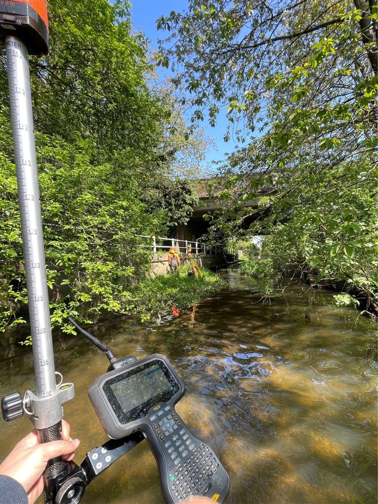
Additionally, a sperate survey team carried out a series of small channel surveys across Loughborough as part of a larger series of works including topographic and CCTV surveys. The survey was to aid the Environment Agency in the future planning of flood prevention works and provide vital information for the modelling of new or expanded flood storage reservoirs in the area.
It was then time for the team to enjoy some well-earned R[&]R with family and friends over the Christmas period. Sadly, the office Christmas party was cancelled last minute due to the venue team contracting the dreaded COVID 19. However, plans are afoot to celebrate 2021 in the spring of this year.
Don’t forget – All the wet and wild adventures from Storm can be viewed via our LinkedIn page @Storm Geomatics Limited and our other social media channels. Twitter @stormgeomatics Instagram @stormgeomatics1

Other News
A Record Month Surveying Rivers
Dry Spring, Fresh Momentum – April Survey Highlights