News & Resources
Gauging Stations Surveyed
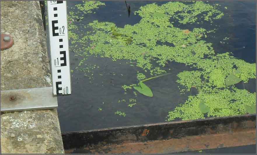
01.08.2011
Lots of gauging stations surveyed this month for the Environment Agency Thames Region. Full 3D models of each site were surveyed in northern areas of the region. Surveyors have provided the client with full topographical data within the ownership of each site to produce a plan that can be used for either engineering purposes or asset management. Critical levels of the sites were also recorded to ensure that data collected on the instrumentation within the hut is reliable for flood warnings and flow control.

Other News

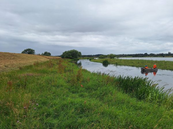
That’s A Wrap: 2025 River Surveys & Festive Resilience
Storm Geomatics conducting a channel survey in Emsworth to support flood modelling and river connectivity analysis.
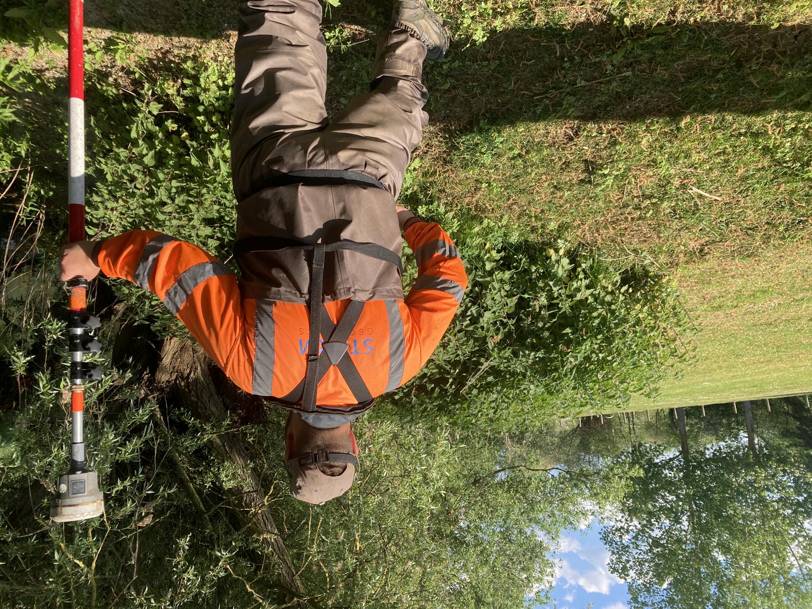
River Surveys and Team Bonding: Storm’s Action-Packed August
As the UK’s only geospatial survey company specialising in water, Storm bring unmatched expertise to every project, ensuring...
Data to Decisions – Storm’s May Update
As river conditions remain favourable & the 2025 dry spring continued throughout the month of May, momentum at Storm...