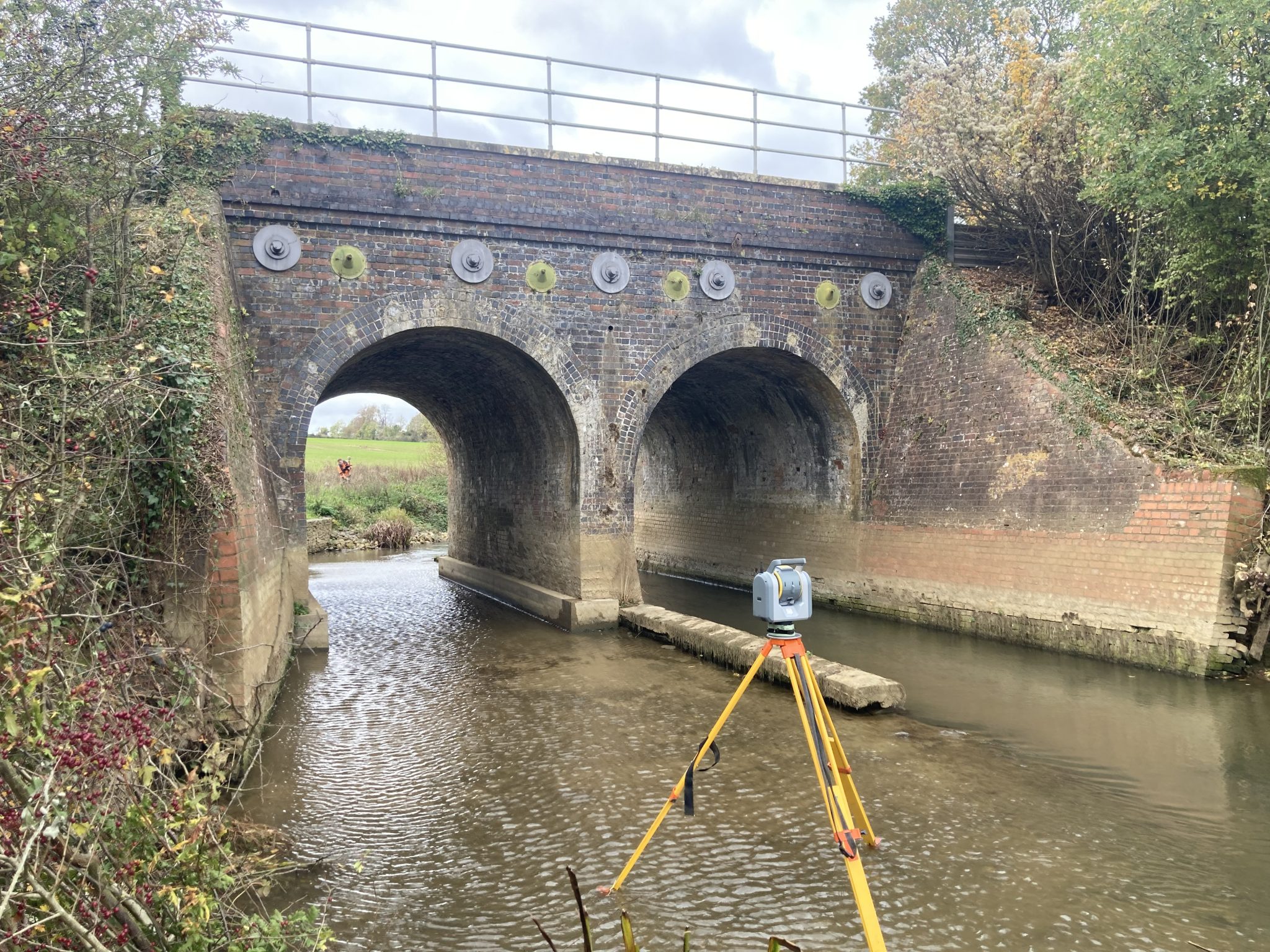
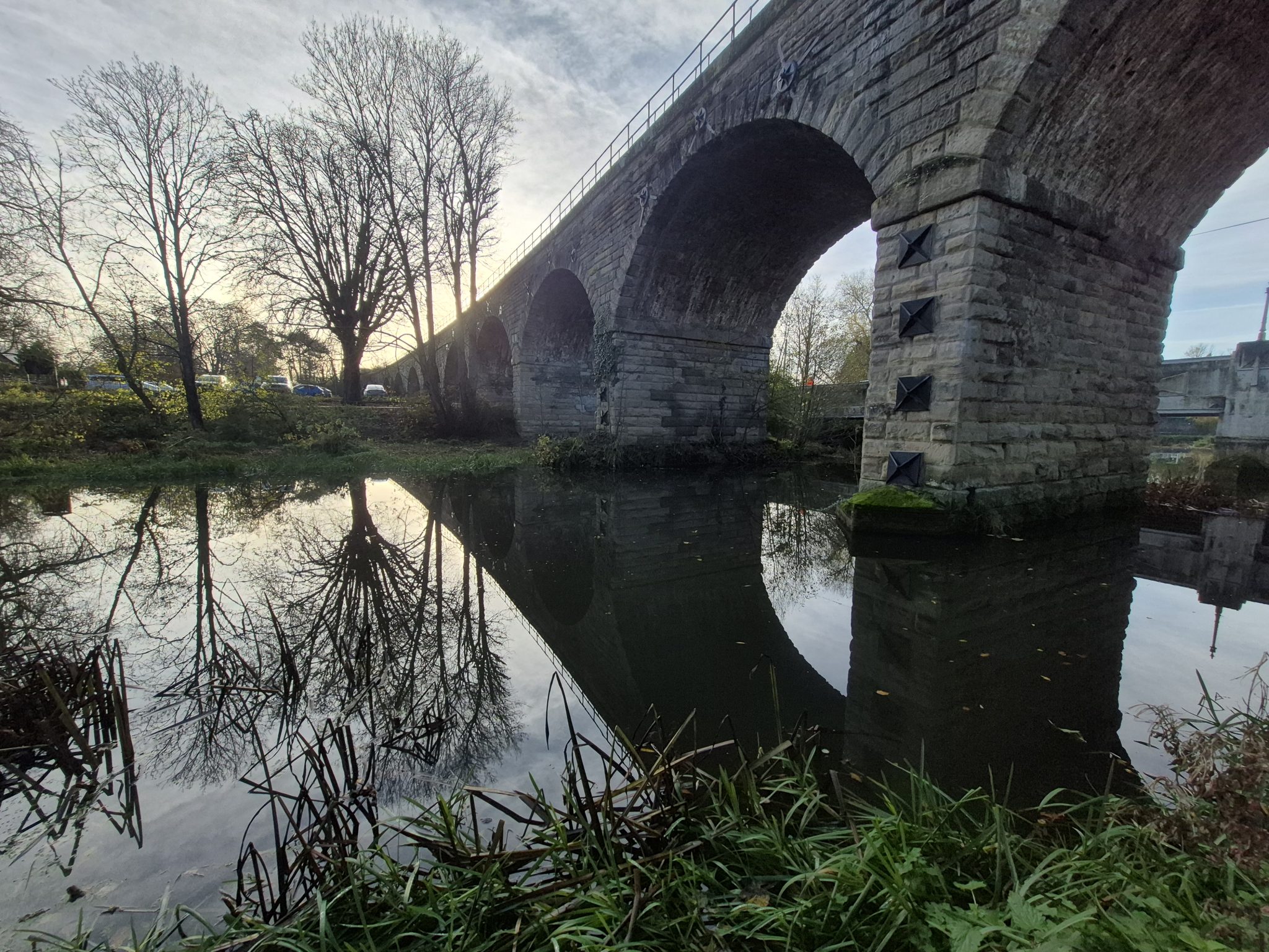
Storm Geomatics has been commissioned to deliver routine scour assessments across 34 bridge assets, helping protect vital rail infrastructure from the structural risks associated with scour. January saw strong progress on Storm’s collaborative condition-survey project.
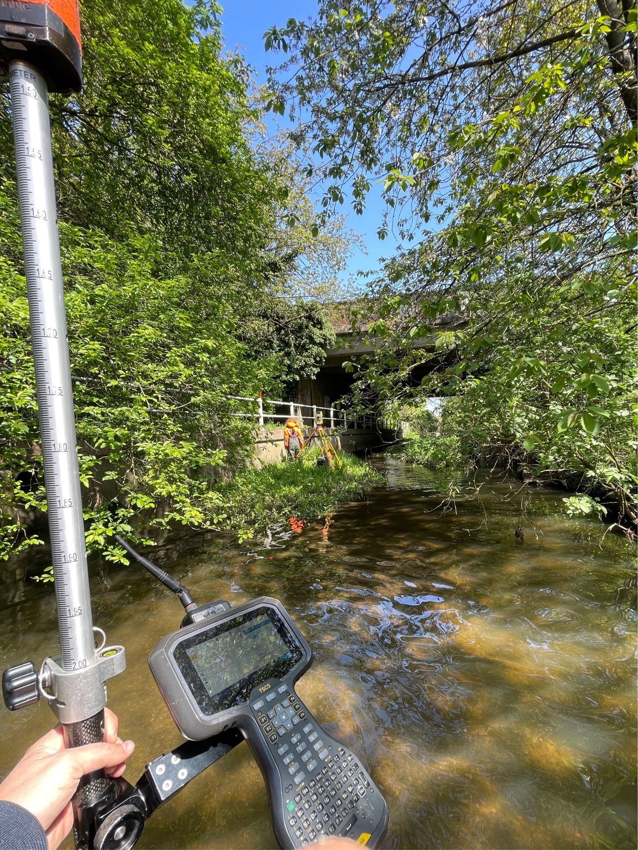
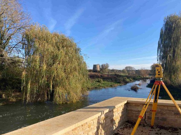
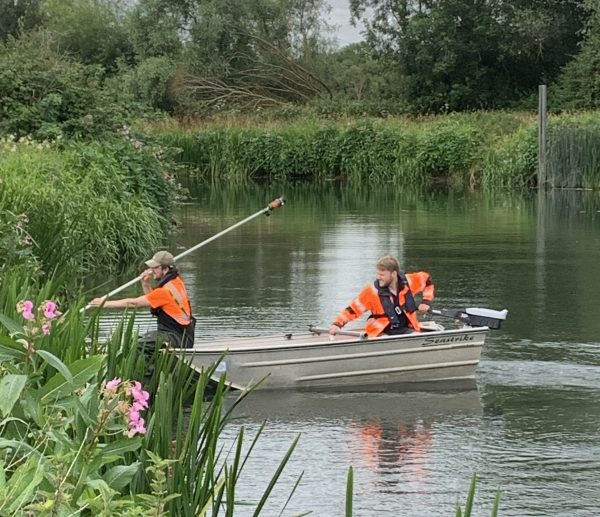
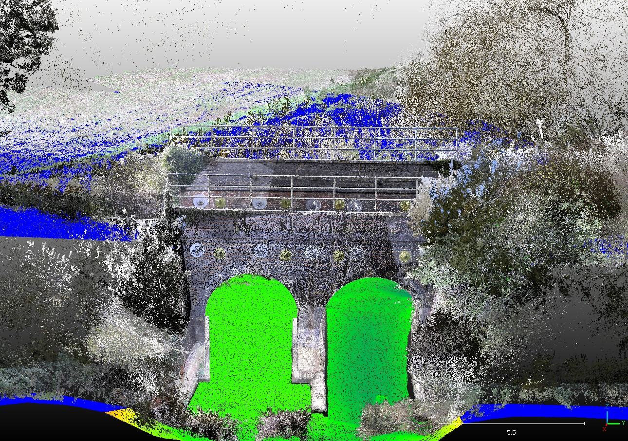
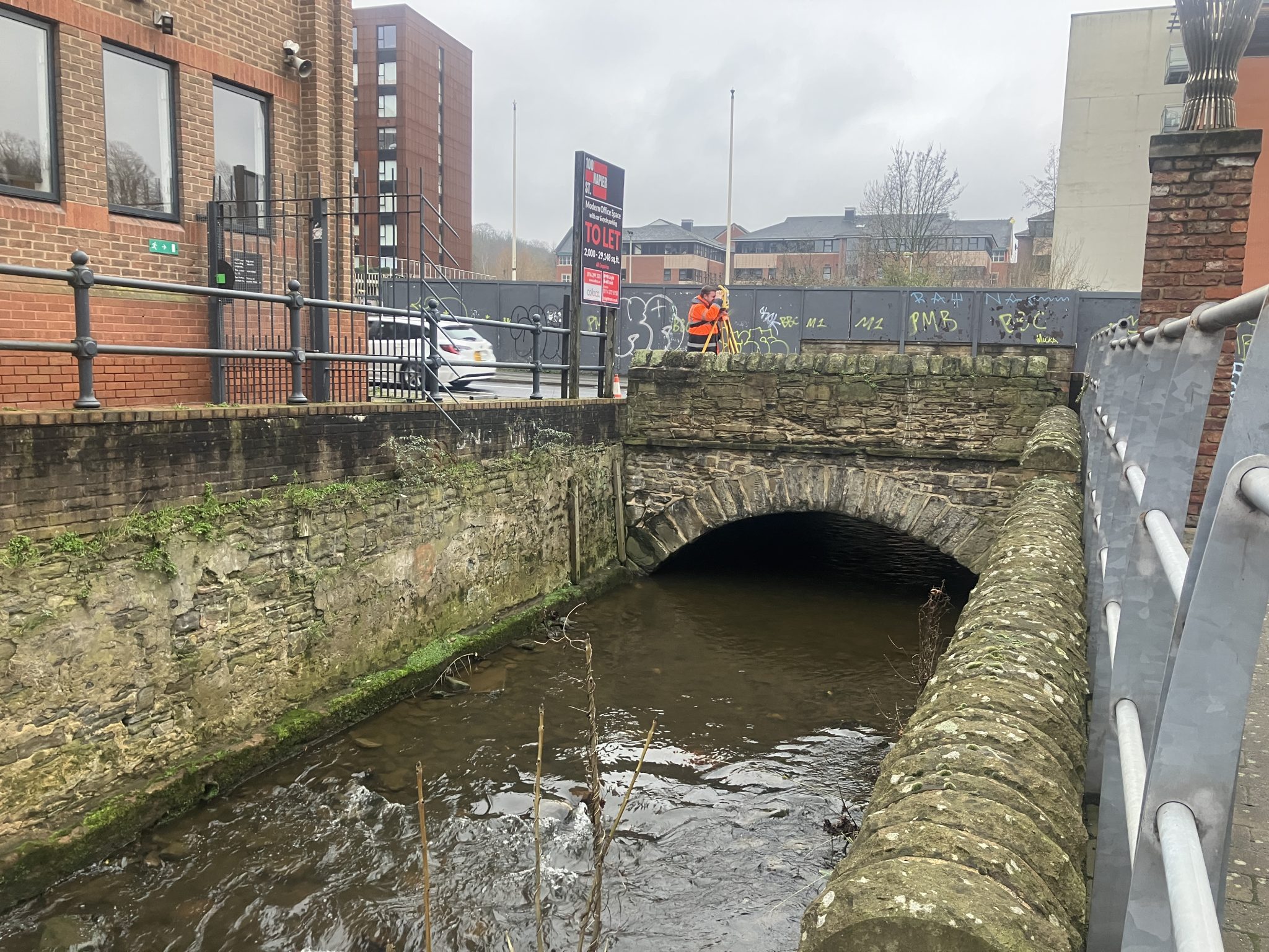
With over 19 years of specialist expertise, Storm continues to fine tune a bespoke suite of survey tools, workflows and data‑capture methodologies. Surveyors combined terrestrial laser scanning using a Trimble SX10, traditional total station survey for vegetated locations, and both multibeam and single‑beam bathymetric survey techniques. This integrated approach delivers a high‑quality, consistent point‑cloud dataset giving stakeholders an accurate, holistic view of each asset’s condition.
Despite a notably wet start to the year and rising river levels, Storm surveyors continue to approach each site dynamically. Only mobilising safely when conditions allow. The project remains on track for completion in Spring 2026.
Growing Our Team to Meet Expanding Demand
With significant project wins on major UK rivers, January marked another step forward in strengthening Storm’s operational capacity. Storm were delighted to welcome three new trainee surveyors; Harry, Dan and Isaac, as they begin their geospatial careers.
Their development is supported through the robust, in‑house training programme led by Director Anthony Pritchard, ensuring they build the skills, confidence, and technical capability required to deliver excellence in the field.
Let’s meet Harry…
Reflecting on your first month at Storm Geomatics, can you tell us what surprised you the most? I’d say the comradery and work ethic of my colleagues. They’re hard working, genuine people.
What one moment so far has made you think “yes, I chose the right role”? Having the chance to broaden my knowledge and do something that benefits others in the long run.
How have the team helped you learn and settle in during your first few weeks? Everyone has been very friendly and welcoming, and are always happy to help me out if I have questions.
What safety training have you undertaken so far? I’m excited to be taking my DEFRA Level 1 and 2 next week!
What are you doing about your carbon emissions?
Sustainability continues to play an increasingly influential role in procurement decisions. Clients now regularly ask for more detailed evidence that we are reducing our carbon emissions. To remain credible, competitive and resilient for the future, Storm began their carbon reduction journey in 2021, on route to achieving zero emissions. The ISO14064-1 verification means Storm Geomatics can provide a credible emissions factor to clients. This supports organisations in reducing their Scope 3 reporting when choosing Storm as their survey provider.
One client, JBA Consulting recently commented; thank you for sending your Carbon Emissions Report. It’s really useful and will save us 52tCO2e off our Scope 3 (supply chain) emission report.
Graph showing intensity ratios per £1m spend and per employee – these verified figures are used in our clients Scope 3 reporting.
In January Mike Hopkins took part in a webinar with our verification company NRM Interface to discuss the strong ROI on this ISO verification journey and how it can set you apart from your competitors. If you missed it you can catch the recording now.
With major projects progressing well and fresh energy joining the team, Storm are well‑positioned to support their clients with accurate, dependable geospatial data wherever it’s needed. Thank you for following our journey; there’s plenty more to come as we continue to innovate, grow, and help safeguard the UK’s vital river infrastructure.


