Services
Water/Silt Sampling
Scroll
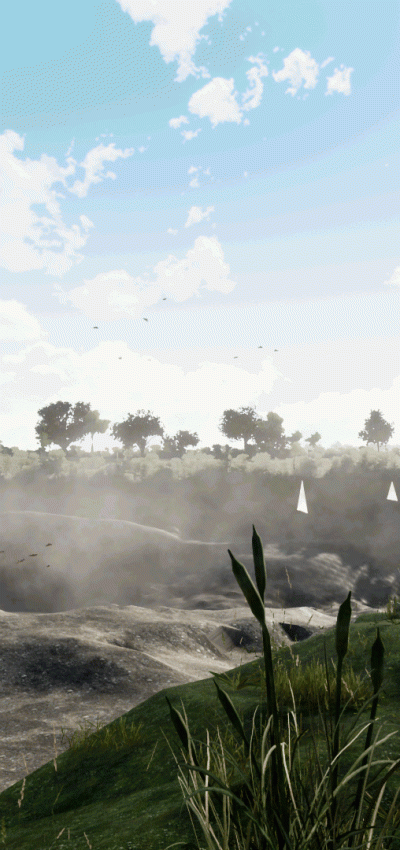
When you need silt or water samples taken from a watercourse or lake alongside a geospatial survey, we can save you time and money by collecting the samples while our surveyors are already on site.Our team can take clean, accurate samples to your specification and either hand them over to you on site or securely store them at our headquarters for collection by your appointed laboratory. You remain in full control of the testing process – we simply gather the samples you need as part of our visit.
Less management, less cost, and the results you need from your chosen lab.
We can very easily do this for our clients and even send it off to the right laboratory for testing. A report will then be available within a week showing you what your water/silt contains. Less management, less cost and the required result.
Frequently Asked Questions about Water/Silt Sampling:
I need samples collected during a spatial survey – who can help?
Storm Geomatics can collect your silt and water samples at the same time as carrying out your survey. We’ll package and store the samples appropriately, ready for you or your selected laboratory to collect. You get more value from a single site visit, with no need to arrange separate sampling teams.
Expert Tip
“If mobilising a survey team on the water, think of other services that can be performed in parallel, you will get a lot more information for not a lot more money. Storm have a number of other sensors available for temperature/pressure etc. Please give us a call and find out what more we can do for your project.”

Mike Hopkins
Managing DirectorFind Out More
Do you have a Water/Silt Sampling project we can help with?
Call 01608 664910 or


Recent News

Biodiversity Gains Delivered with Data
From biodiversity uplift to advanced scour modelling, see how our teams drove sustainable progress this month.

Geospatial Data Powers Asset Management
Essential Bridge Scour Surveys Across England Storm Geomatics has been commissioned to deliver routine scour assessments across 34 bridge...

That’s A Wrap: 2025 River Surveys & Festive Resilience
Storm Geomatics conducting a channel survey in Emsworth to support flood modelling and river connectivity analysis.