
Services
Near Shore
Scroll
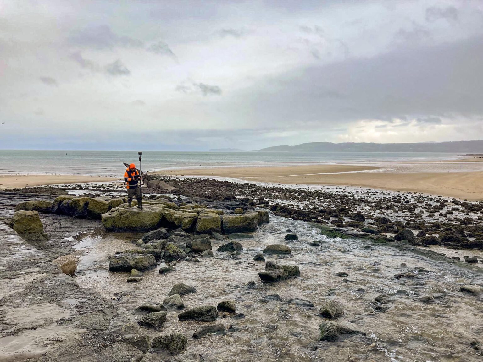
We have built partnerships with highly trained individuals to solve the very difficult problems of data capture around coastlines and islands.
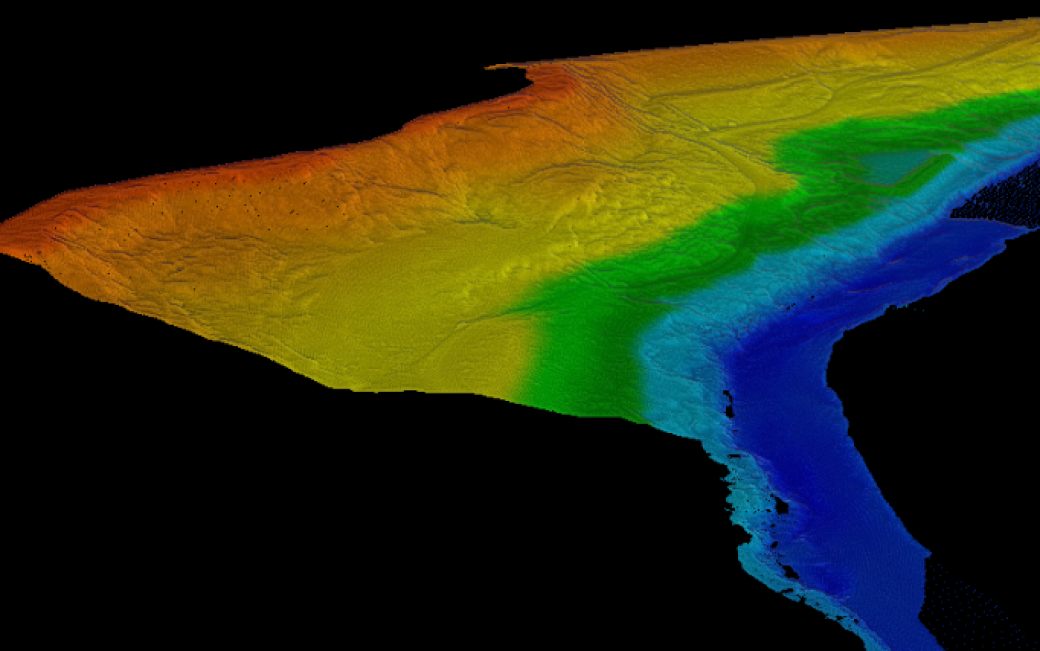
Our team has vast experience in placing sensors to measure current, temperature and tide. With our very accurate near shore survey systems our team produce detailed plans of the sea bed, foreshore and shoreline to provide the base mapping for our clients project.
Our near shore team and our partners have a passion for this work and strive to develop new and exciting ways to present near shore geospatial data for the diverse range of people that use it.
Frequently Asked Questions about Near Shore:
How easy is it to spatially tie data from both land and water survey for near shore projects?
Choose a surveyor who is prepared to collaborate with other experts to solve difficult problems of data capture around coastlines and islands. A Near Shore team is that exact conduit to create solutions.
Expert Tip
“By using a near shore survey team that have both land and water survey experience you will ensure that there is an overlap in your data and that the two surveys are spatially tied together correctly.”

Mike Hopkins
Managing Director


Recent News

Biodiversity Gains Delivered with Data
From biodiversity uplift to advanced scour modelling, see how our teams drove sustainable progress this month.

Geospatial Data Powers Asset Management
Essential Bridge Scour Surveys Across England Storm Geomatics has been commissioned to deliver routine scour assessments across 34 bridge...

That’s A Wrap: 2025 River Surveys & Festive Resilience
Storm Geomatics conducting a channel survey in Emsworth to support flood modelling and river connectivity analysis.