River Digital Twin® Presentation – Halford Flood Meadow
Scroll
Here are the key takeaways from your River Digital Twin® presentation:
Overview of Storm Geomatics & Storm Wildlife
- Storm Geomatics is the only UK geospatial survey company specialising exclusively in rivers and river corridors.
- Storm Wildlife owns and manages a floodplain meadow used as a testbed for biodiversity net gain and floodplain regeneration.
- The Meadow is subject to frequent flooding, making it ideal for studying sustainable land use and habitat creation.
Purpose of the River Digital Twin®
- To consolidate siloed river survey data into a single, interactive, 3D model.
- Enables better decision-making for floodplain management, habitat creation, and stakeholder communication.
- Built using a gaming platform repurposed for environmental simulation.
Data Sources & Methods
- Data collected via:
- Drone-based LIDAR
- Ground-based GNSS and total station surveys
- Static laser scanning for detailed structures (e.g., bridges)
- All data aligned to OSGB36 and EA survey standards for planning and regulatory acceptance.
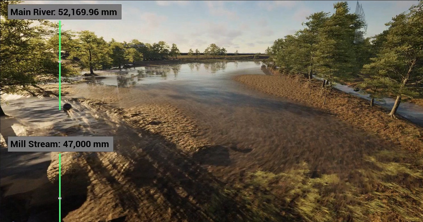
Features of the River Digital Twin®
- Combines multiple survey types into one interactive model.
- Simulates real-world variables like water flow, sunlight, wind, and vegetation movement.
- Includes real-time data inputs from water level sensors and weather stations.
- Allows users to:
- Visualise flood scenarios
- Track interventions such as tree planting and survival rates
- Monitor water levels using virtual sensors
- Simulate abstraction scenarios
Use Cases
- Flood modelling and scenario planning
- River restoration and re-meandering
- Habitat creation and biodiversity planning
- Ecological asset database – with onsite live and historical environmental data
- Stakeholder engagement and visualisation for planning approvals
Benefits
- Highly visual and intuitive tool for non-technical stakeholders to prompt faster decision making.
- Enhances understanding of complex river systems.
- Supports sustainable land management and ecological planning.
- Facilitates collaboration between geospatial experts, ecologists, and hydraulic engineers.
- Provides multiple solutions from one data source, creating high value.
- Interactive variables provide accurate forecasting.
Delivery to Clients
- Delivered as a file package (~6GB), playable with pre-configured controls.
- Requires no proprietary software costs and is tailored for ease of use.
- Potential for future hosted lightweight versions as computing power increases.