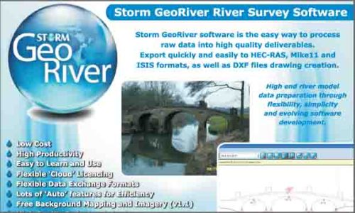
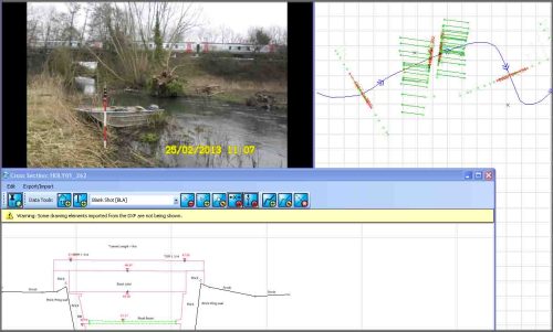
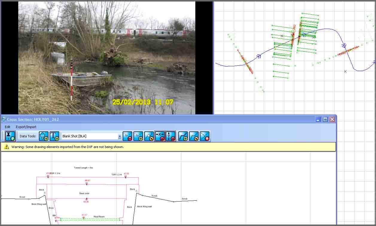
Storm GeoRiver
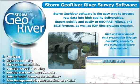
After three years of software development, meetings, testing, SCRs, SPRs and tiny modifications Storm Geomatics are on the verge of launching an important piece of software to the hydraulic engineering market. The software will change the way that surveyors work when preparing river data, speeding up the process and supplying river model data in a more advanced state. There will be tools for the hydraulic engineers too, they will be able to speed up the way they import geometry and differing variables into their systems. The launch is due early in March and the development team are working hard to bring the software to its release version. Roll on March, everyone can start saving a lot of time and money by using Storm GeoRiver! Keep an eye on developments at www.storm-georiver.com.
Other News

Data to Decisions – Storm’s May Update
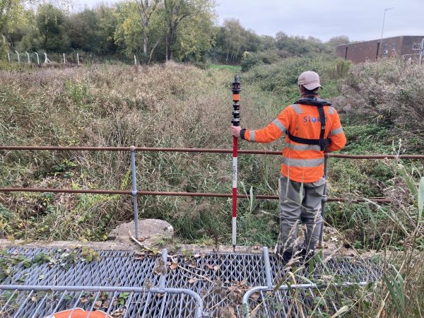
A Record Month Surveying Rivers