Luton Hoo Lakes
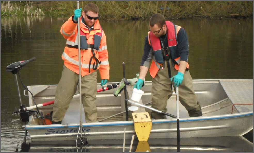
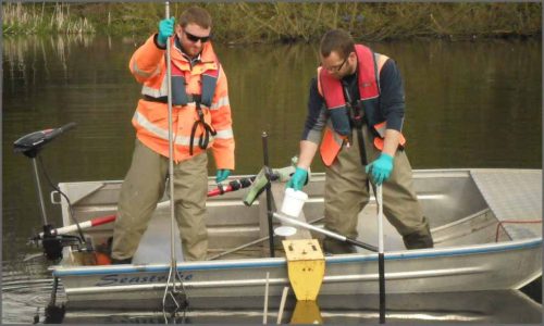
Well we haven’t got any tips for the horses this month, but we have got a new tip for our pole! The metal plate on the base of the pole is designed to sit on top of soft silt so our survey teams can get a more accurate level for silt volume calculations. We used this recently at Luton Hoo Lakes to provide a digital terrain model of the lake bed so engineers can calculate the volume of silt lying on the bed. The tip works really well and we will be using it on our next lake survey which is at Ifield near Crawley. In the photo our surveyors are grabbing a silt sample which they bottle up and take to a research laboratory. Twelve samples were taken across the lake to check for contamination after a recent fish kill from a raw sewerage spill.
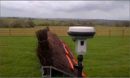
Our surveyors have produced a map of the point to point course for the racecard at Mollington near Banbury. The course is the new home of the Warwickshire Hunt point to point and interestingly enough, the 3m start is in Oxfordshire, the finish is in Warwickshire and the field cross the county border five times during the race!
Other News
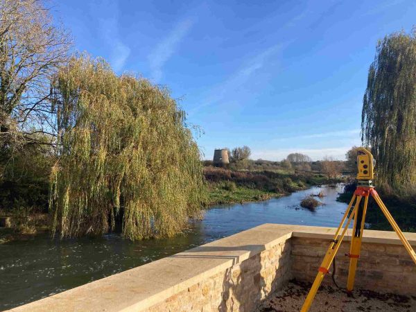
Storm Geomatics’ Boldest Project Yet: To Transform Flood Risk Management
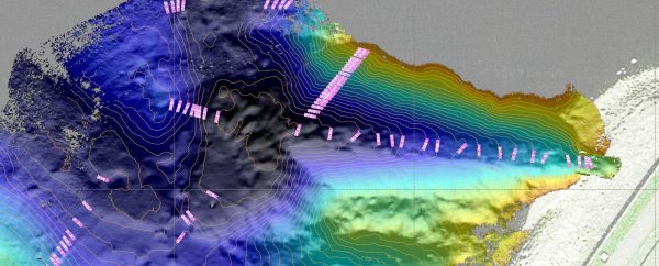
Positioning a Syphon Pipe in Winter? Tough Guy Surveyors get it done.
