Dry Spring, Fresh Momentum – April Survey Highlights
From trout habitat restoration to major asset regeneration, Storm Geomatics moves ahead with AMP8-ready precision.
April’s dry weather and lower river levels were leveraged by Storm’s survey team to maximise surveying capacity. A full order book and unprecedented demand for Storm’s specialist services led to a record month for survey output. Coupled with new client collaboration Storm Geomatics’ team have carried out various complex survey projects.
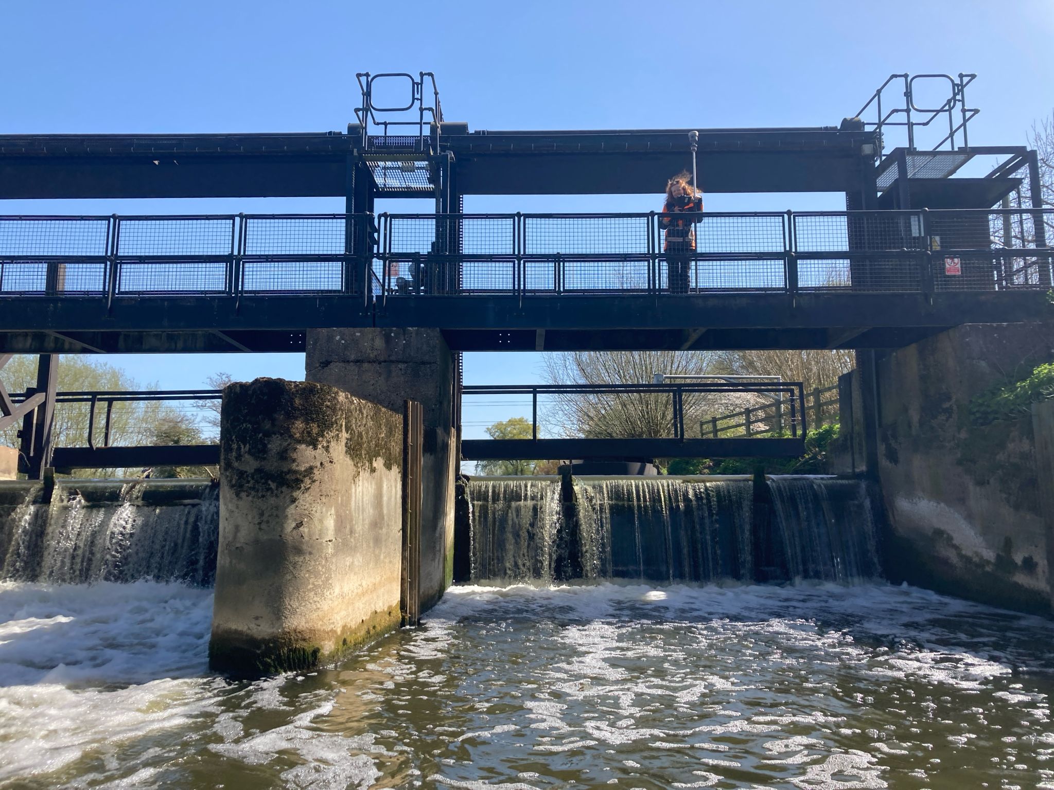
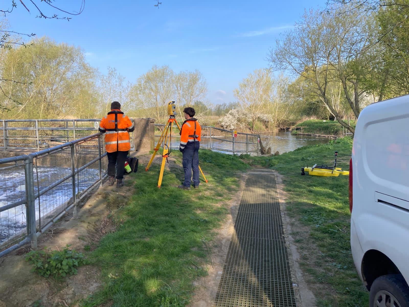
A new client Jacksons Civils approached Storm Geomatics in Autumn 2024 to create a solution for a large scale asset regeneration project along the River Avon in Warwickshire. Being both a local project and one that required a multi disciplined approach it was an exciting challenge for the team at Storm Geomatics. Working on behalf of asset stakeholders The Environment Agency (EA), Jackson Civils required an innovative approach that would be underpinned by their key objectives along the Net Zero Carbon Innovation Pathway Fund. Storm’s geospatial data capture will allow Jackson Civils to make informed decisions on the maintenance or rebuild of these ageing assets. Watch out in next month’s news for the full project case study.
In collaboration with Jackson Civils, Storm will be exhibiting at Flood & Coast 2025 from 3-5 June, so please do drop by the stand to meet Storm Surveyors. Chat to them about how they solve project issues through their data capture skills.
April brought a major development for the UK’s Water Industry the completion of the 8th Edition, Asset Management Plan, AMP8. The main objectives of AMP8 —which runs from 2025 to 2030 in the UK water industry—are focused on driving long-term value through sustainability, resilience, and customer outcomes.
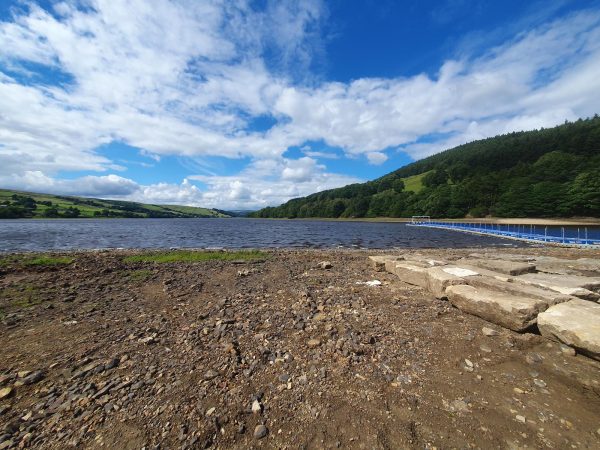
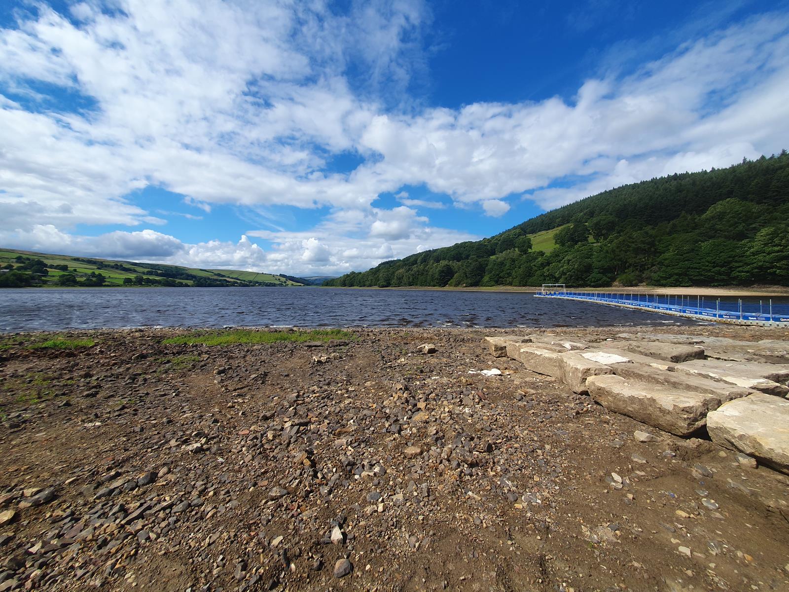
Storm Geomatics is AMP8 ready – From reservoir safety to environmental enhancement schemes, Storm surveyors understand the regulatory and operational pressures shaping this AMP cycle. With skills that are aligned with the key objectives, one example of previous work can be found in the Yorkshire Pipeline Bathymetric Project.
To discuss AMP8 survey requirements or book a discovery session with our expert team, contact toby.moyse@storm-geomatics.com or call 📞01608 664910.
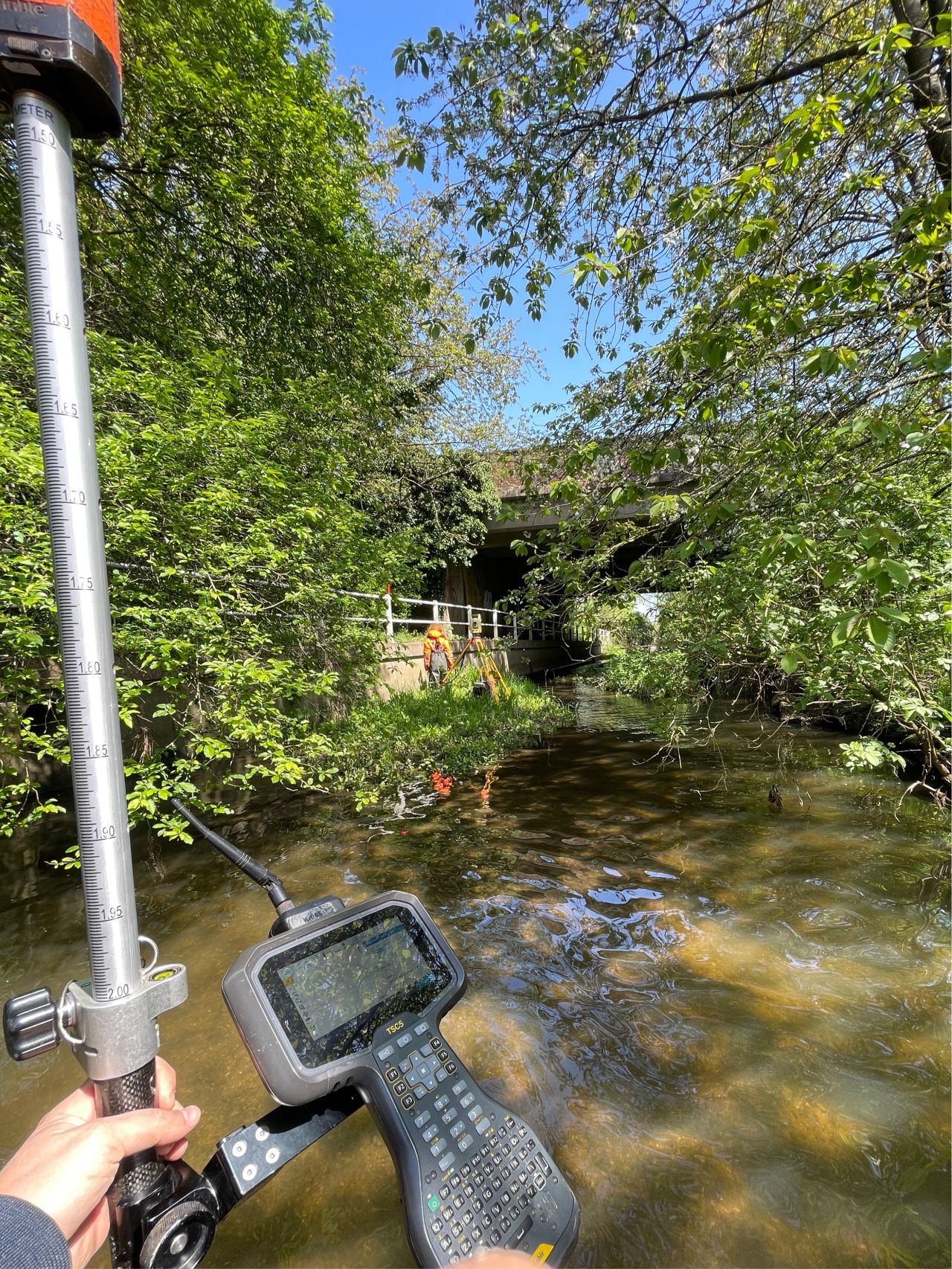
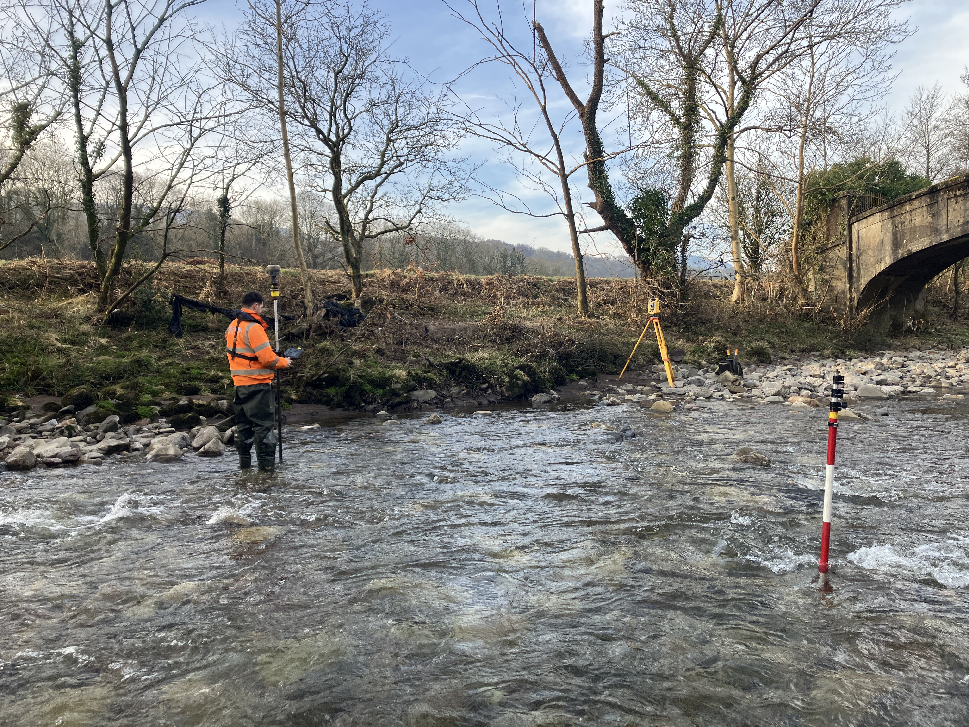
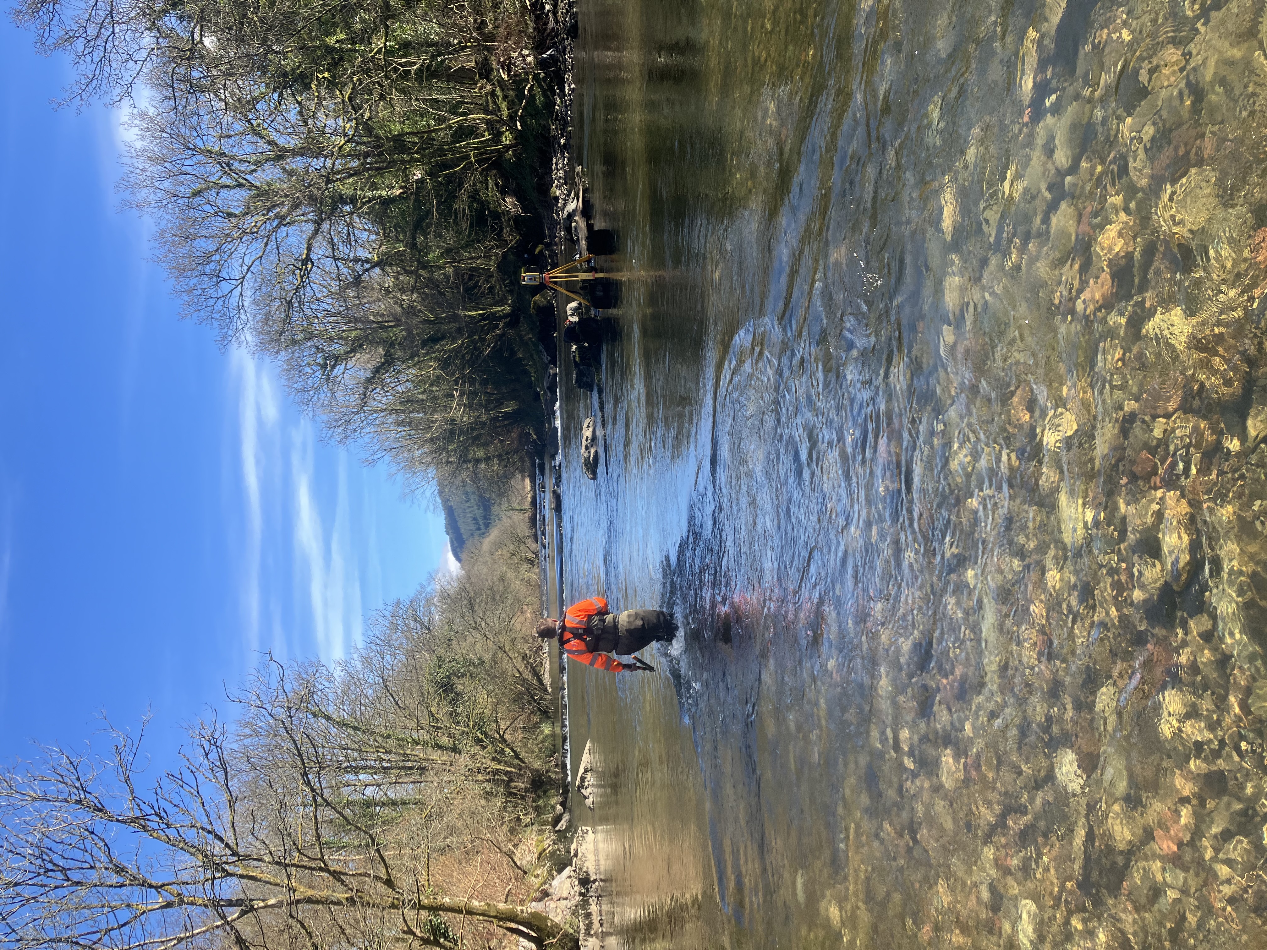
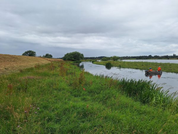
Between February and April, Storm Geomatics undertook an ambitious survey of over 22km of river channel in the upper Neath catchment. Working through winter conditions, the team delivered 800+ cross sections, capturing structures from culverts to highway bridges. Data was processed using our proprietary GeoRiver® software, ready for direct use in modelling tools such as Flood Modeller Pro, HEC-RAS and TUFLOW. Read how the team overcame challenges in the case study.
“This project was a comprehensive approach to capture hydrological activity within the valley system – a model example of survey readiness for flood risk planning.” – Matt Maddalena, Survey Manager.
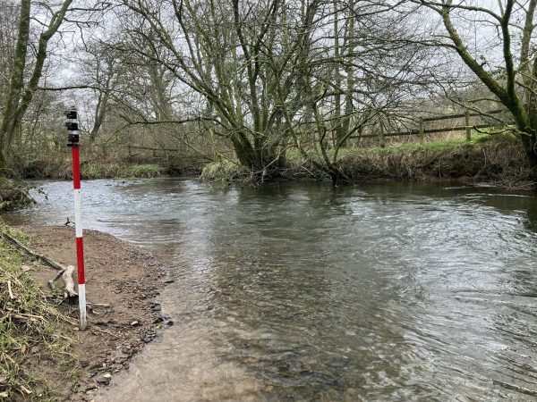
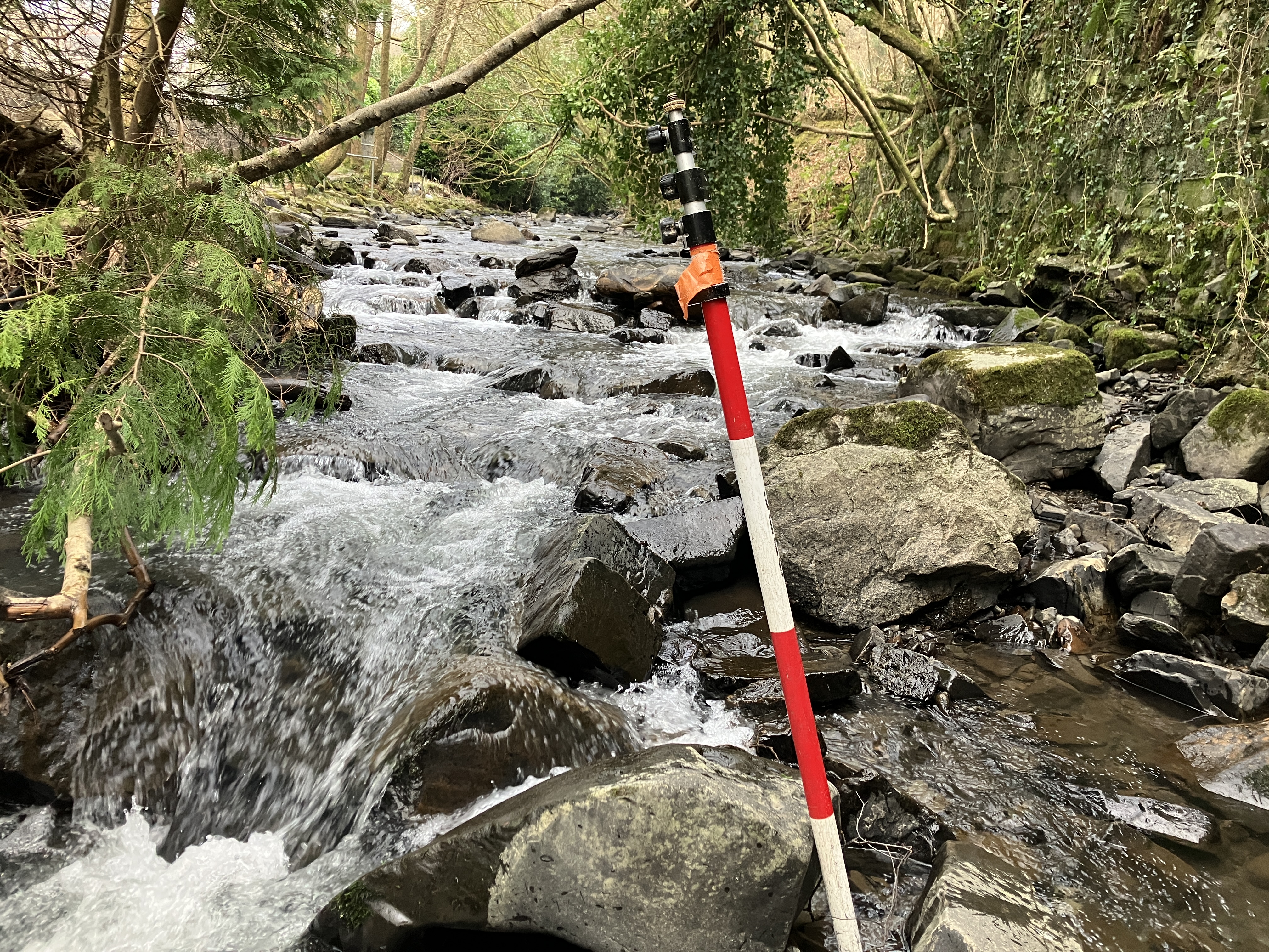
Wild Trout Habitat Restoration Starts With Precision – discover how Storm Geomatics enabled habitat recovery through river surveying case study. Led by Surveyor Josh Humphriss and assisted by Trainee Surveyor Harry Sampson, Storm Geomatics were commissioned to conduct a topographic survey of a wild trout watercourse. Serving as a “point-zero” baseline to assess current conditions & support monitoring of ecological conditions.
Next month, Storm teams will begin new projects revisiting a large survey project that has been postponed from Winter 2024/25 because of “strong stream advice” and high winter water levels. It is now time to capitalise on the dry Spring and ensure this project keeps to its critical path.
Watch this space for insights into how hyper-intelligent data surveys underpin one of Storm’s corner stones “Superior Value”
Other News
River Surveys and Team Bonding: Storm’s Action-Packed August
Storm brings in the Big Guns…