Data to Decisions – Storm’s May Update
As river conditions remain favourable & the 2025 dry spring continued throughout the month of May, momentum at Storm Geomatics stayed strong. Survey teams making significant progress on projects that are defining the future of flood management—and growing the survey team that will help deliver it.
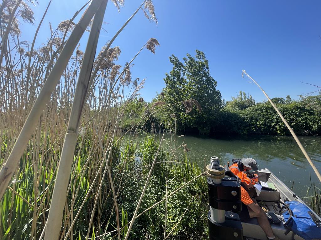
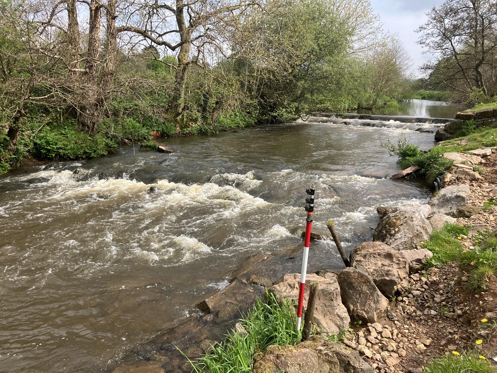
Work continues at pace on the River Nene survey project, where Storm’s surveyors have been applying multi-faceted surveys, including precision bathymetry to support a long-term flood resilience programmes. Storm’s work is playing a pivotal role in decision-making for infrastructure investment and habitat connectivity. The data is feeding directly into asset integrity health reviews and nature-based solution scoping—two areas central to AMP8 delivery.
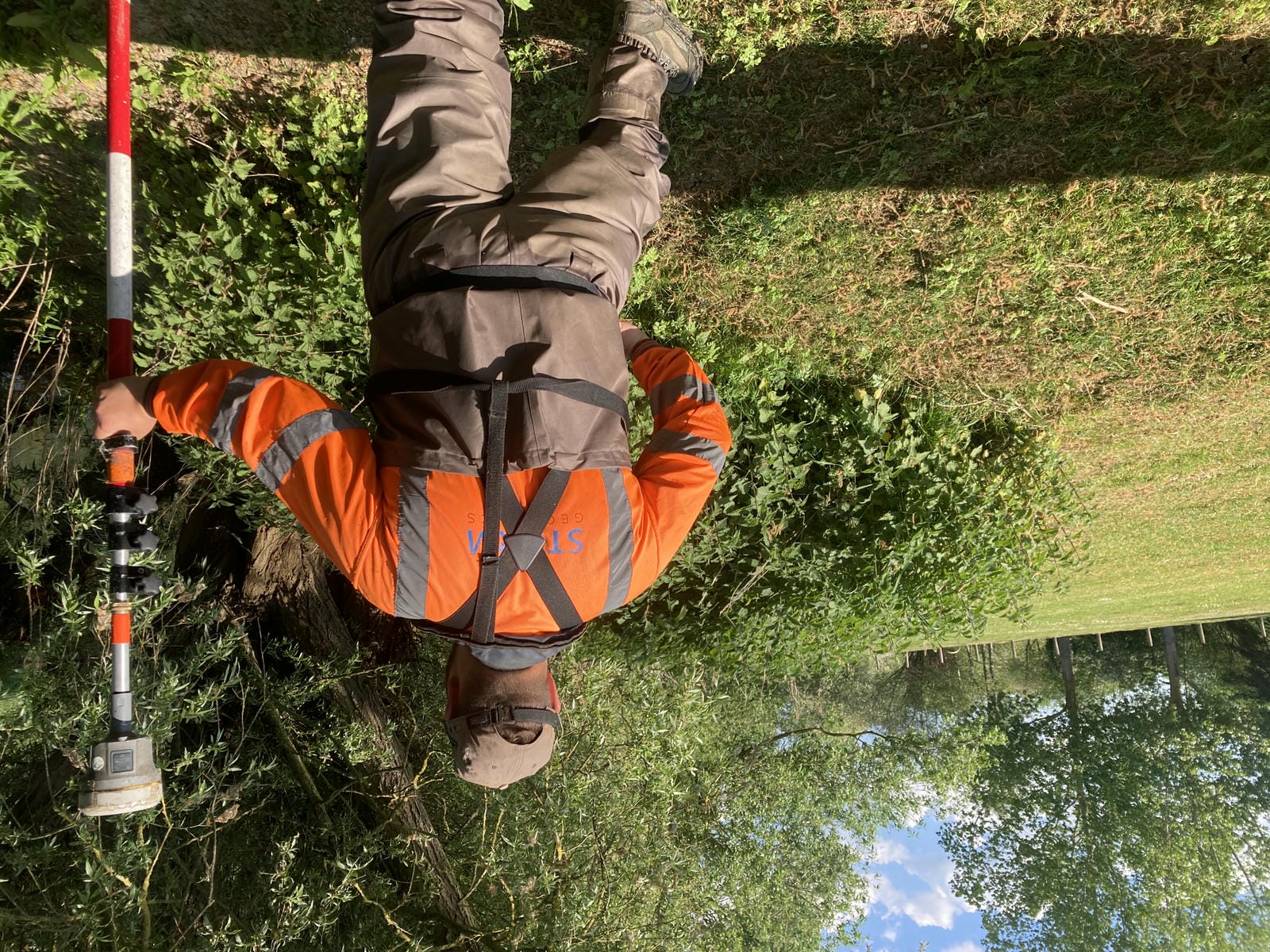
This project is one of considerable size, consisting of 876 locations. Storm surveyors are capturing embankment levels, cross sections and topographic data at structures, identified as part of the Environment Agency’s ” Structures of the River Nene Strategy”, led by senior surveyor Tom Atkinson, who has over 10 years experience of surveying the UK’s rivers.
In May, Storm welcomed Daisy Perry and Pete Butcher to our trainee programme. Both come with strong environmental foundations.Under the guidance of our senior surveyors, they’re already making an impact—Daisy contributing to the River Nene cross section survey, and Pete supporting pre-dredging surveys. Both have completed the DEFRA Level 2 working in water safety training.
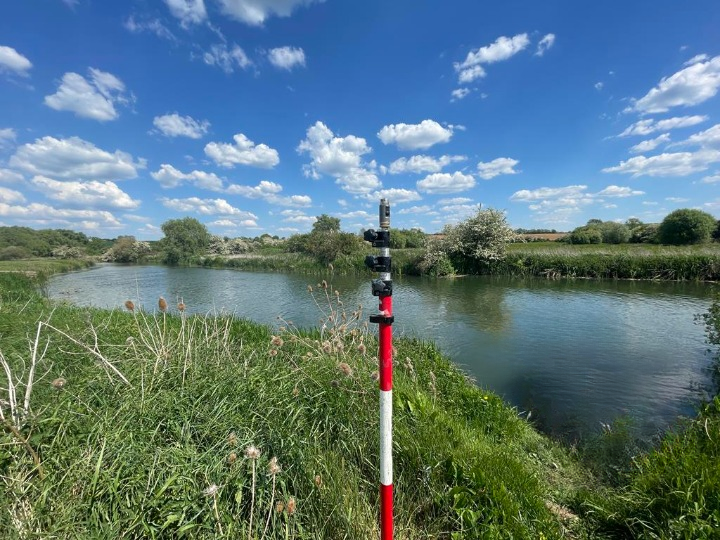
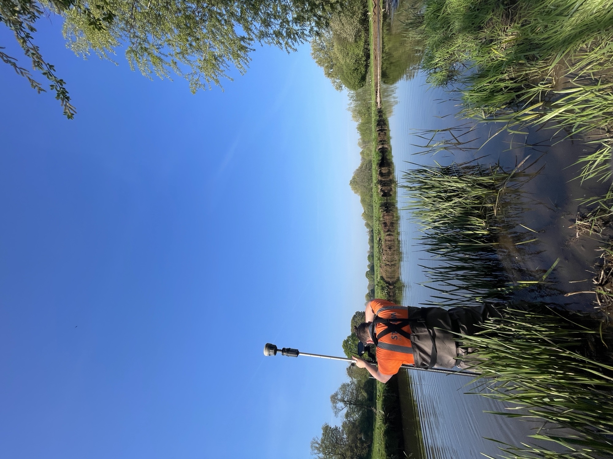
Meanwhile long standing clients, JBA Consulting instructed Storm Geomatics to survey the River Culm as it flows through Culmstock to Cullompton in the Blackdown Hills AONB. The purpose of the survey was to supply accurate topographic data to support flood and drought modelling as a part of the ‘Connecting the Culm’ project. This project was fortunate to be in ideal survey conditions and the team thoroughly enjoyed the challenge.
Storm are proud to be part of the CIWEM “Shaping Water 2025”
Storm’s feature showcases how in winter 2024, surveyors responded to an urgent scour issue on the Jubilee flood relief channel at Taplow, Maidenhead. Working with BAM Nuttall and the Environment Agency,to carry out a multibeam bathymetric survey that revealed previously undetected scour holes below the waterline—critical intelligent geospatial data to guide emergency repairs. Read more about the initiative here:
🔗 Shaping Water 2025 – Full Report
Storm Geomatics full suite of surveying services—high-resolution river surveys, asset condition assessments, and upstream/downstream modelling inputs—are already embedded in AMP8 preparatory work. Storm’s unique position, combining boots-on-the-ground insight with hyper-intelligent survey data deliverables, continues to help clients:
- Identify priority investment areas using rapid river diagnostics
- Support catchment-wide modelling and nature-based solution trials
- Comply with monitoring and reporting frameworks through defensible data
If you are planning assets inspection works, preparing for AMP8 projects why not connect with Storm’s key personnel who can provide solutions: Mike Hopkins Anthony Pritchard Toby Moyse
Other News

That’s A Wrap: 2025 River Surveys & Festive Resilience
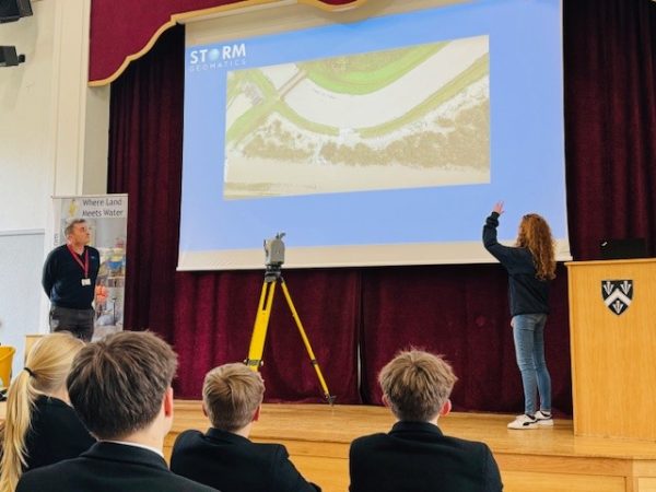
Future River Surveyors, How to Inspire Them…