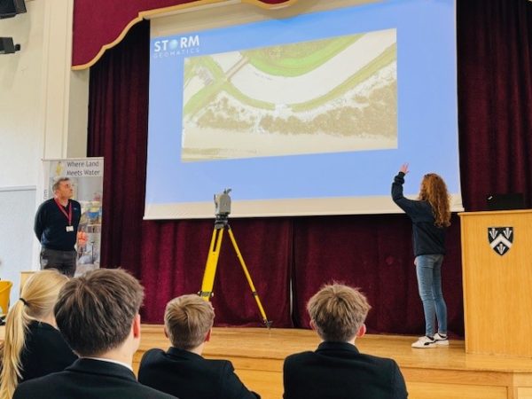
Biodiversity Gains Delivered with Data

River Condition Assessment supports Biodiversity Net Gain
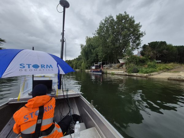
Specialist Surveyor James Mayers carried out a River Condition Assessment (RCA) in Oxfordshire. The RCA was performed on a drainage ditch and part of the Oxford Canal to help understand the uplift required to achieve Biodiversity Net Gain (BNG) goals. Working alongside a senior ecologist from AA Environmental, the team strengthened their collaborative approach to delivering a 10% biodiversity uplift.
Storm’s team of RCA-qualified surveyors allow these assessments to be delivered efficiently alongside other survey workflows, reducing mobilisation costs. Trainee Surveyor Jake Beddard added extra enthusiasm to the fieldwork, commenting: “The working drawbridge was an exciting bonus!”
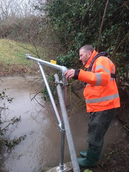
Water Level Sensor Installed in Yorkshire to Support Flood Monitoring
High demand of Storm’s specialist services saw Directors Mike Hopkins and Anthony Pritchard to dig out their PPE and head to Yorkshire to install a radar water level sensor at a sewage outfall. The sensor was accurately installed to Ordnance Survey Datum, and to Environment Agency surveying standards. With a combined 62 years of surveying experience the duo delivered a seamless installation, demonstrating Storm’s capability in providing a turnkey operation for water level monitoring.
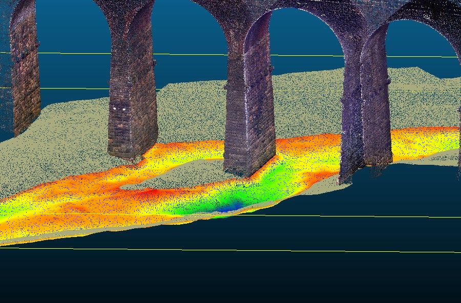
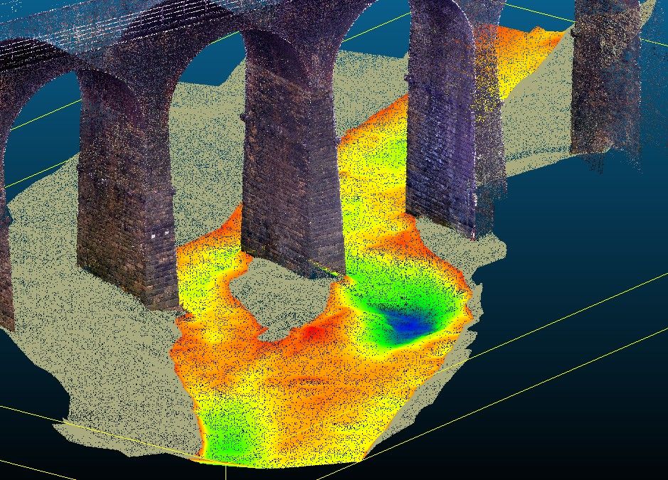
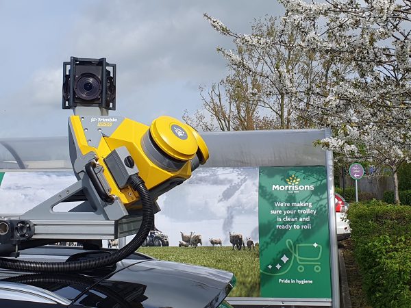
Nationwide Bridge Scour Assessments Advance Despite Challenges
Progress continues on the routine scour assessments of bridge assets, spanning rivers across the UK. Each presenting unique environmental and access challenges. To achieve full structural and riverbed coverage, the survey team engaged a multi‑sensor workflow using the Trimble X9 laser scanner for high‑precision modelling of the terrestrial detail, the Geoswath 4 interferometric system for dense bathymetric data of the riverbed and around the piers, and a TRI‑Drone USV where deployment of the multibeam system was not possible. Manual topographic methods were used to fill in the remaining shallow margins and bank areas.
Combining all datasets produced a seamless, high‑resolution 3D point cloud supporting a scour assessment and providing asset owners with a complete, reliable model for informed decision‑making.
The bridges are located across a wide geographic area from the Midlands through to Manchester and span a diverse range of watercourses and structural types. Working to a tight and carefully planned programme, Storm have now completed site works on 32 of the 34 locations and delivered final outputs for 23 sites. Bringing a number of logistical challenges, including high river levels, adverse weather, restricted access, and dense vegetation. Thanks to the dedication and flexibility of the highly skilled surveying teams involved, the project remains on track and continues to meet the programme milestones set by Storm’s client. Not least for the logistical attention to details from Ops Coordinator Paul Nicholls.
Storm Geomatics Champion Sustainability Across the Geomatics Surveying Profession
Sustainability is Storm’s pathway to a cleaner expansion. Mike Hopkins’s sits on the Chartered Institution of Civil Engineering Surveyors sustainability committee, and was recently approached to write an article for the professional publication “Civil Engineering Surveyor” about the importance to businesses of verification in the carbon reduction process. Do look out for his article due to be published in April. Through verification of Storm’s carbon accounting process, Storm are able to pass their savings onto their clients, thus reducing totals on their client’s carbon accounts, evidence of this can be read in this case study
River Digital Twin® is Transforming River Asset Management
Storm are the creators of River Digital Twin®, a sophisticated, data-driven replica of a river system. This virtual model integrates real-time data, historical records, and advanced simulations to mirror the behaviour of the actual river environment. From monitoring water flow and sediment transport to identifying potential flood risks, it’s a game-changing tool for decision-makers, engineers, and environmentalists.
The High‑Resolution Point Cloud River Digital Twin® is the first step in Storm Geomatics’ modular integrated system. Begin with this certainty and everything built on top becomes stronger from flood forecasting to starting conversations around investment planning or ecological stewardship. More detail can be found in our latest article.
As Spring approaches Storm will be working at full capacity taking advantage of longer daylight hours. Keep up to date via our linkedin channel


Other News
Storm brings in the Big Guns…
From Reservoirs to Riverbeds: July Survey Stories