Flash Floods
Flash Floods & Surface Water Run-off.
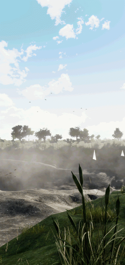
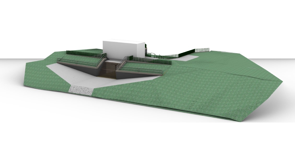
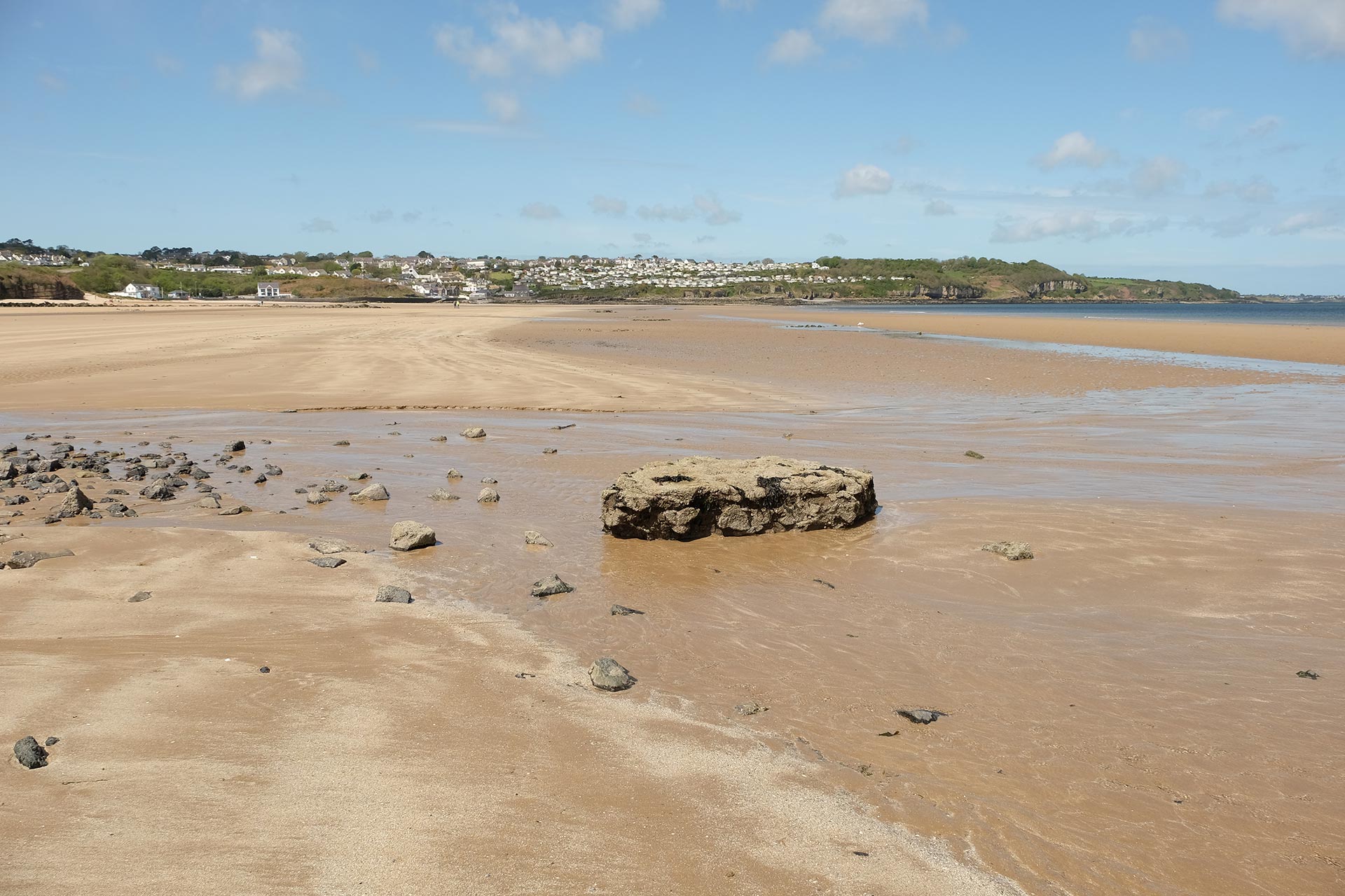
Flash flooding occurs when heavy rain falls on saturated ground. The rain runs across the surface of the terrain and collects at the lowest points. Drainage systems take water away from low lying areas; however they may be inundated with water thus becoming ineffective. Storm Geomatics provide accurate, hand-picked terrain data using RTK GNSS or in larger areas lidar data flown from rmotely piloted aircraft systems (RPAS) to represent the topography of the ground. This has been used in both rural and urban areas to produce 3D models for surface water run-off analysis.
Point clouds can be delivered either raw in the client’s specified format or simplified to create 3D surface models of CAD objects.
Frequently Asked Questions about Flash Floods:
Help me choose a survey company to collect flash flood data?
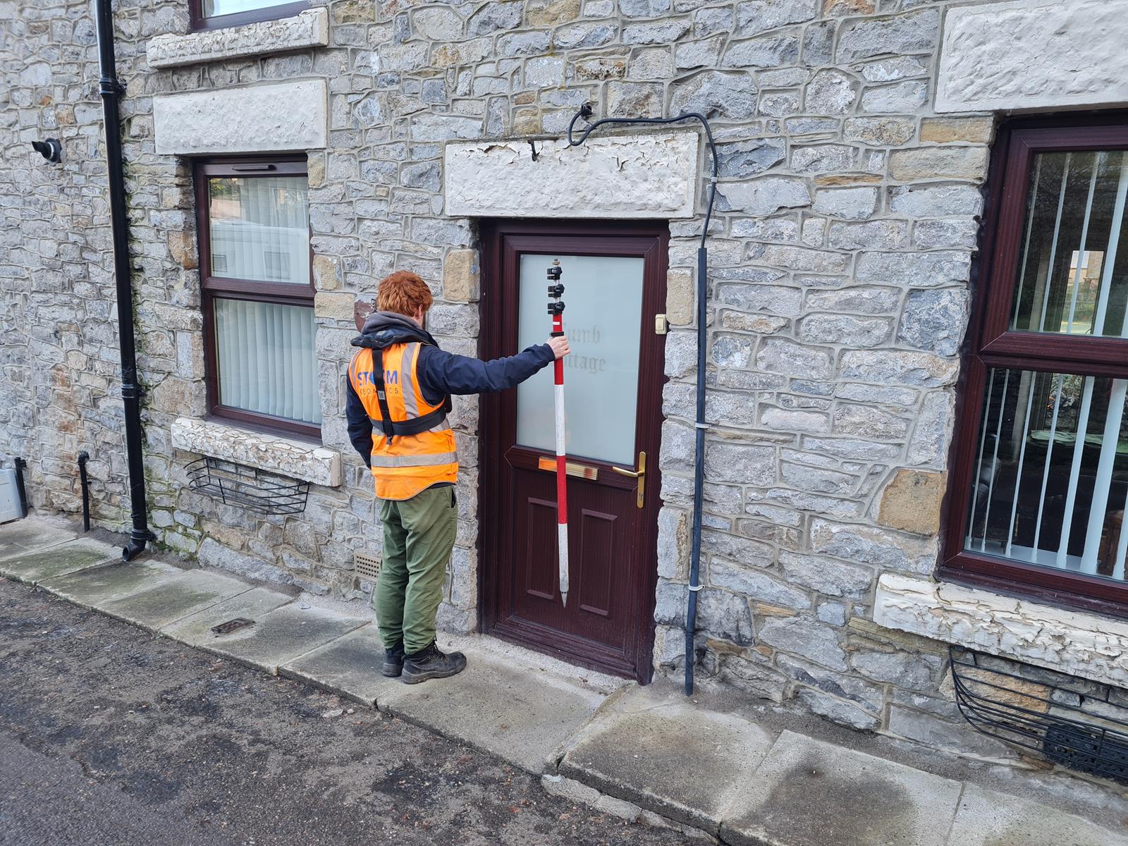
Attention to detail is required. Choose the services of a trained and experienced surveyor, who hand picks critical points on a surface to reveal where problems lie. Through high precision topographic and drainage data to create accurate models and pinpoint areas venerable to flash flooding.
Storm Geomatics also survey networks of drainage systems
Manholes are lifted and measured to provide pipe sizes and invert levels, which is essential information when providing a flash flood analysis. Our surveyors realise the importance of LEVEL when it comes to the mechanics of water and extra care is taken when providing every single height value.

Mike Hopkins
Managing Director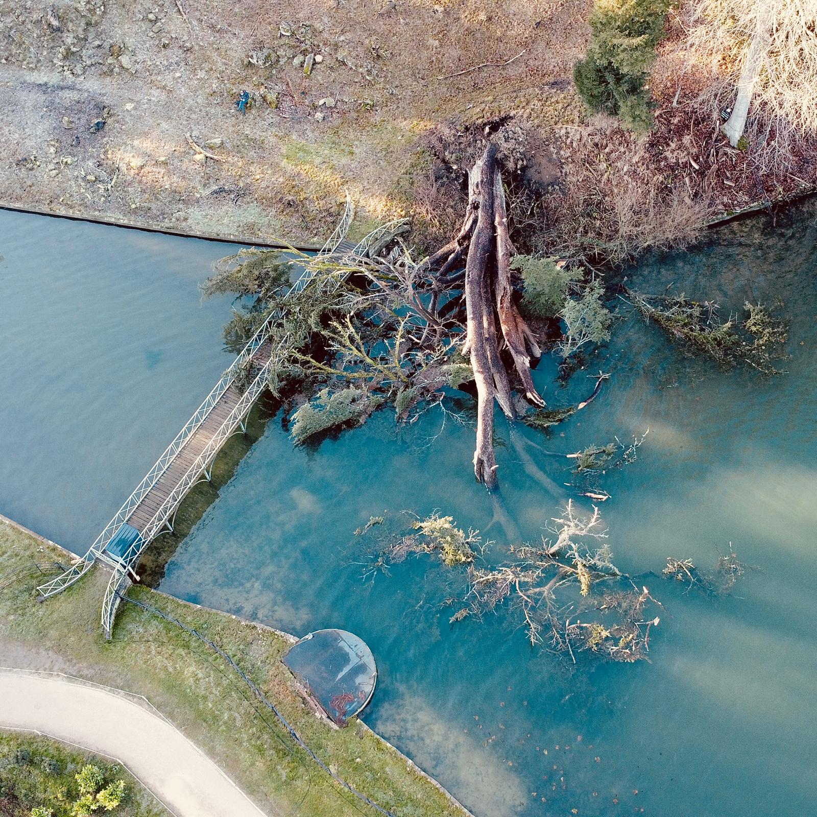
Recent News

Biodiversity Gains Delivered with Data

Geospatial Data Powers Asset Management