Case Studies
Tough Conditions, Precision Survey in Wales
Scroll
The Background
- Date
- February-April 2025
- Client
- Natural Resources Wales
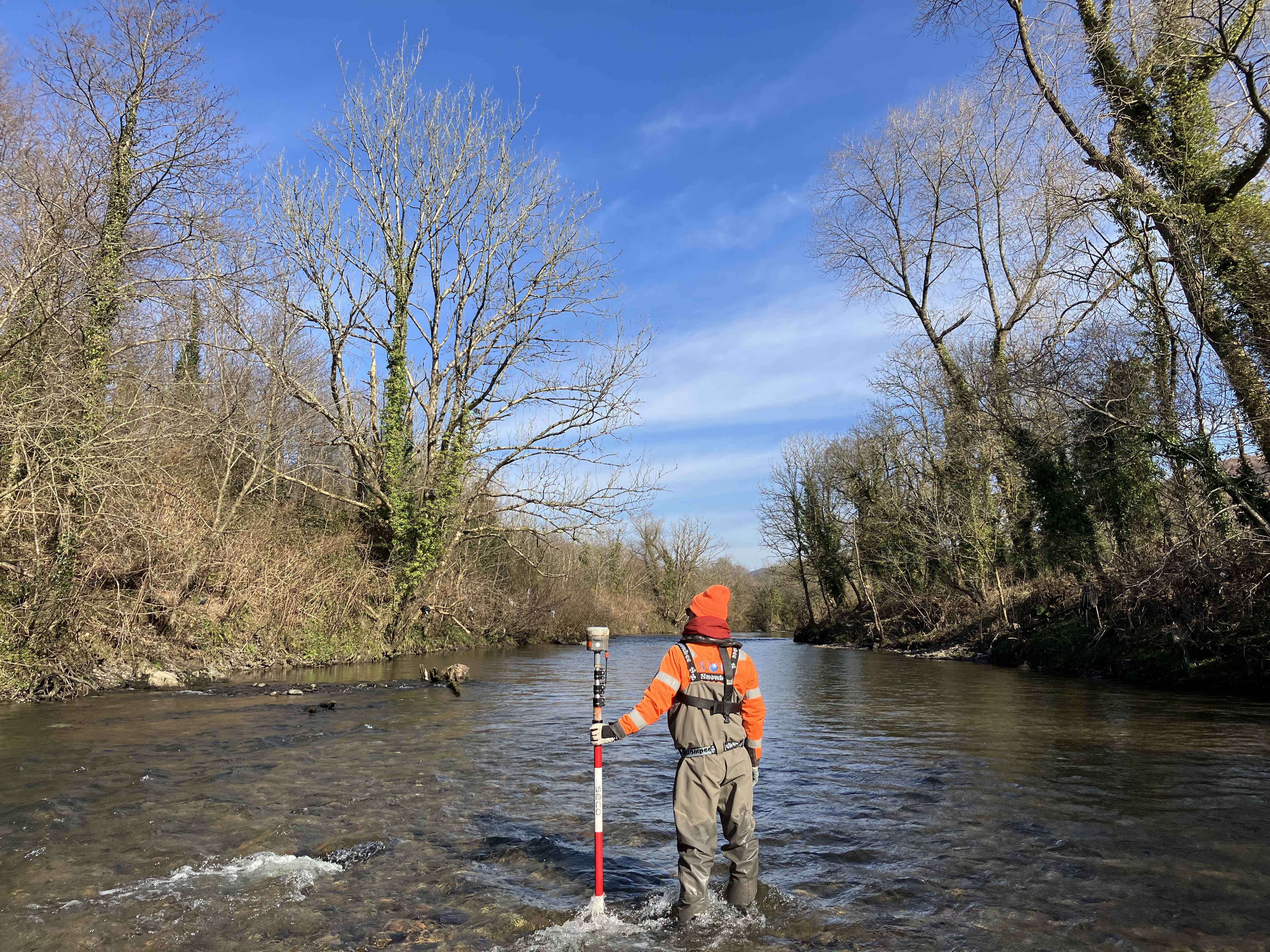
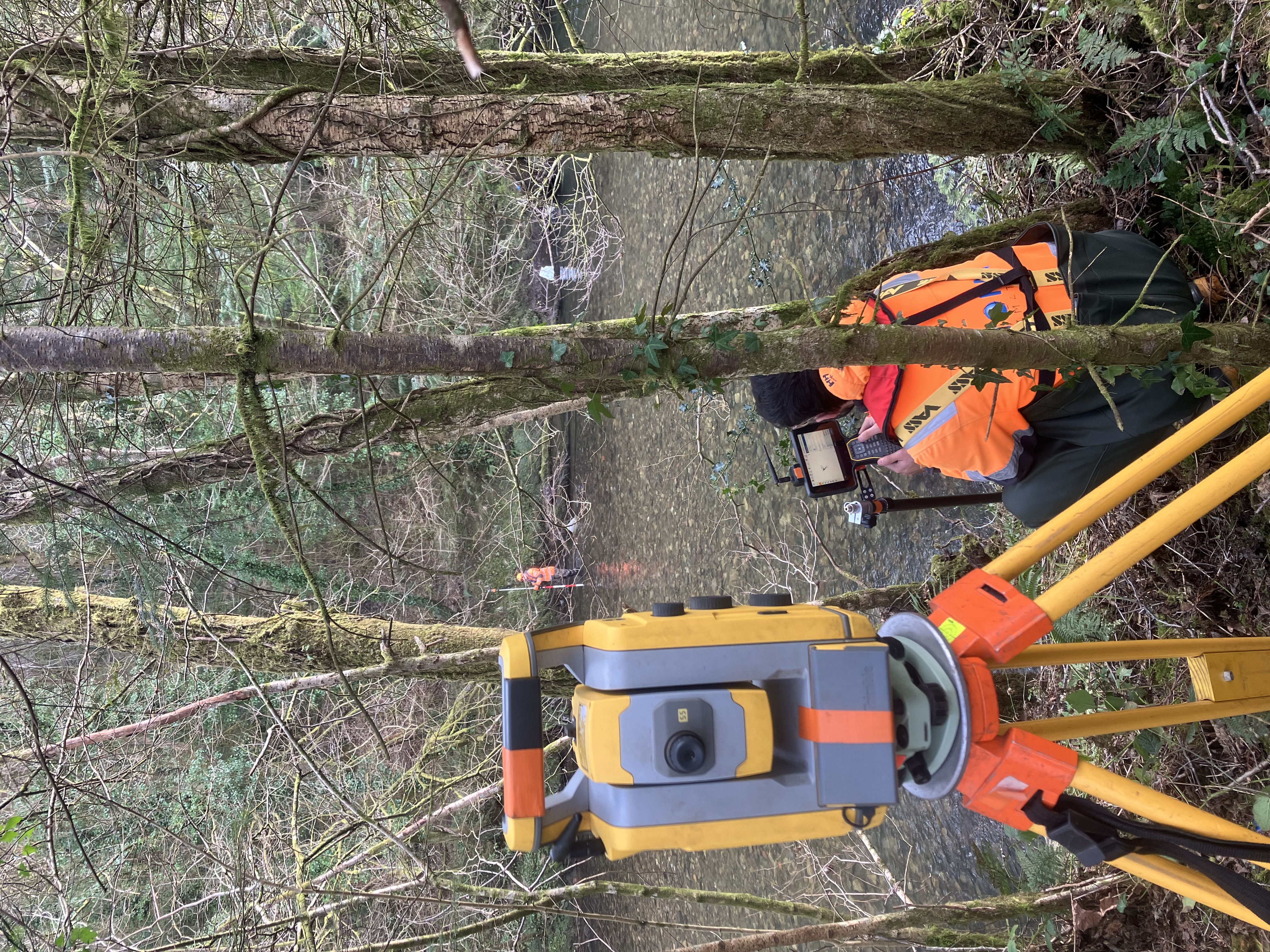
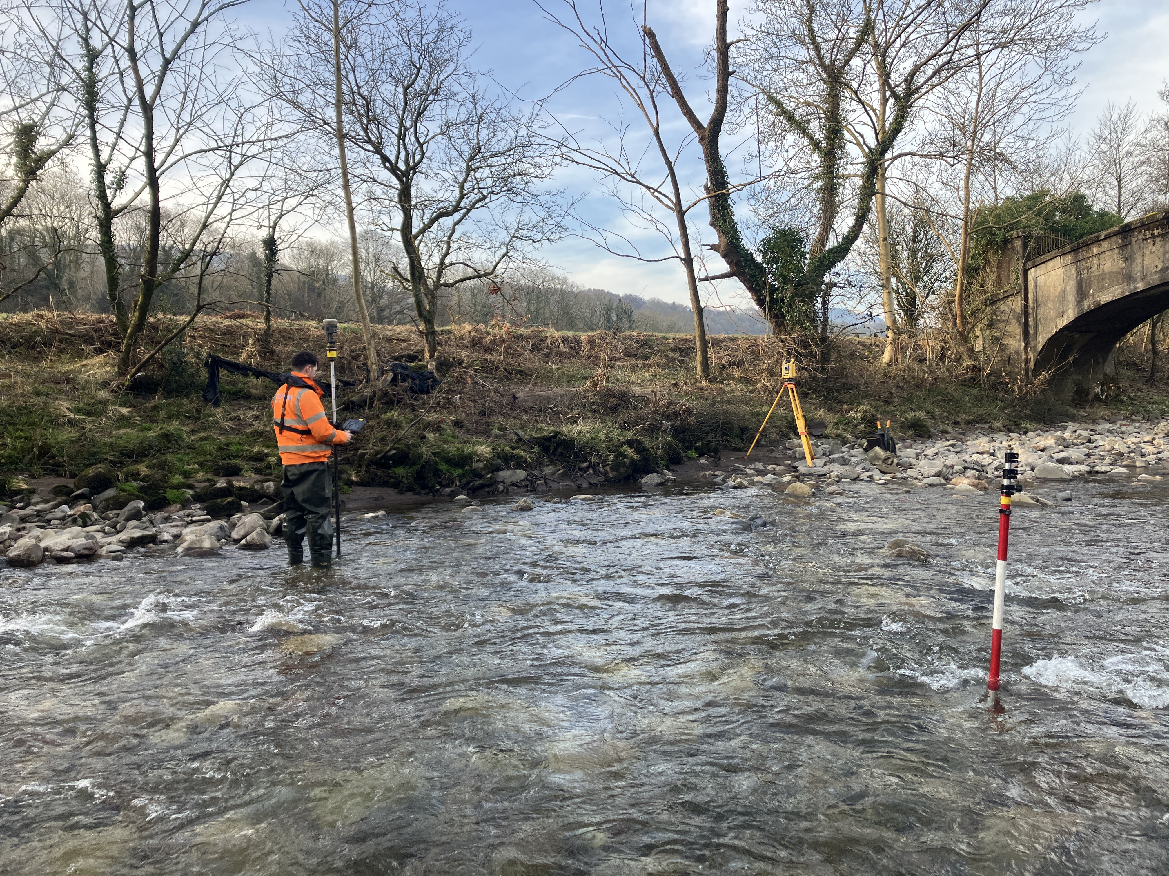
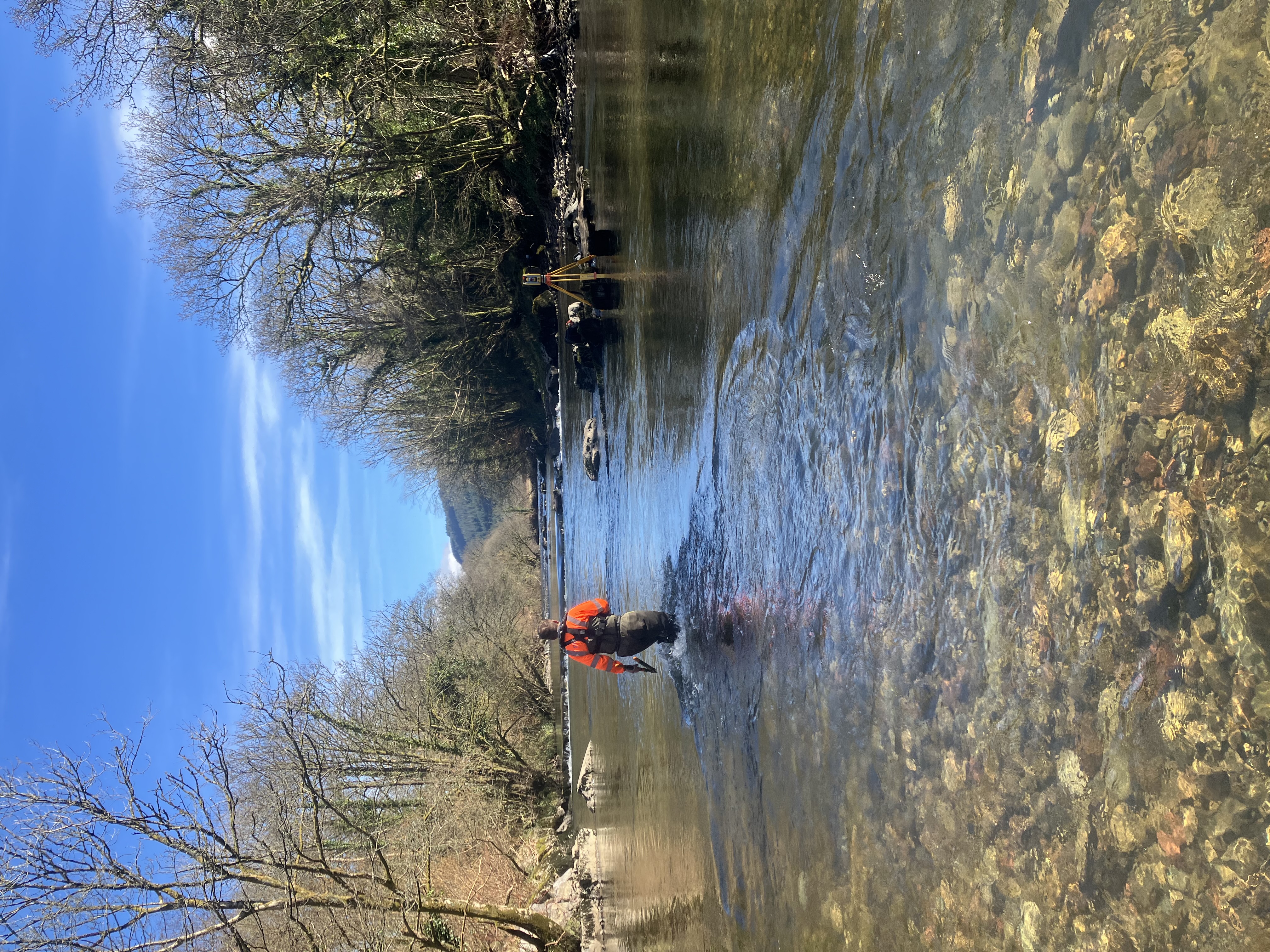
This Natural Resources Wales commission was to provide an accurate topographic survey of the river channel system for the upper reaches of the Neath catchment including online and offline hydraulic structures, and bank and defence crest levels. The following rivers/channels Aber Nant, Addoldy River, Afon Mellte, Gelliceibryn Brook, Nant Clun Y Bont, Nant Gwrach, Nant Gwrelych, Nant Pergwm, Nant Y Gwyddyl, Neath Canal, River Neath, Trib01 & underpasses were included. Over 22,824m of river channel was surveyed over the duration of three months.
Process
The Challenge
- Timing – Channel surveys undertaken in winter months typically involve high flow rates & river levels. Extensive forecasting & monitoring of river conditions was essential to ensure appropriate weather windows were targeted.
- Technology – GNSS signal can historically be difficult to obtain in valleys. By using a combination of Trimble VRS & Base-Rover set ups, the survey teams were successful in accomplishing the full survey.
- Scale – Over 22,824m of river channel was surveyed over the duration of several months. The project was completed using a range of survey teams, therefore continuous communication was essential in keeping the project on track.
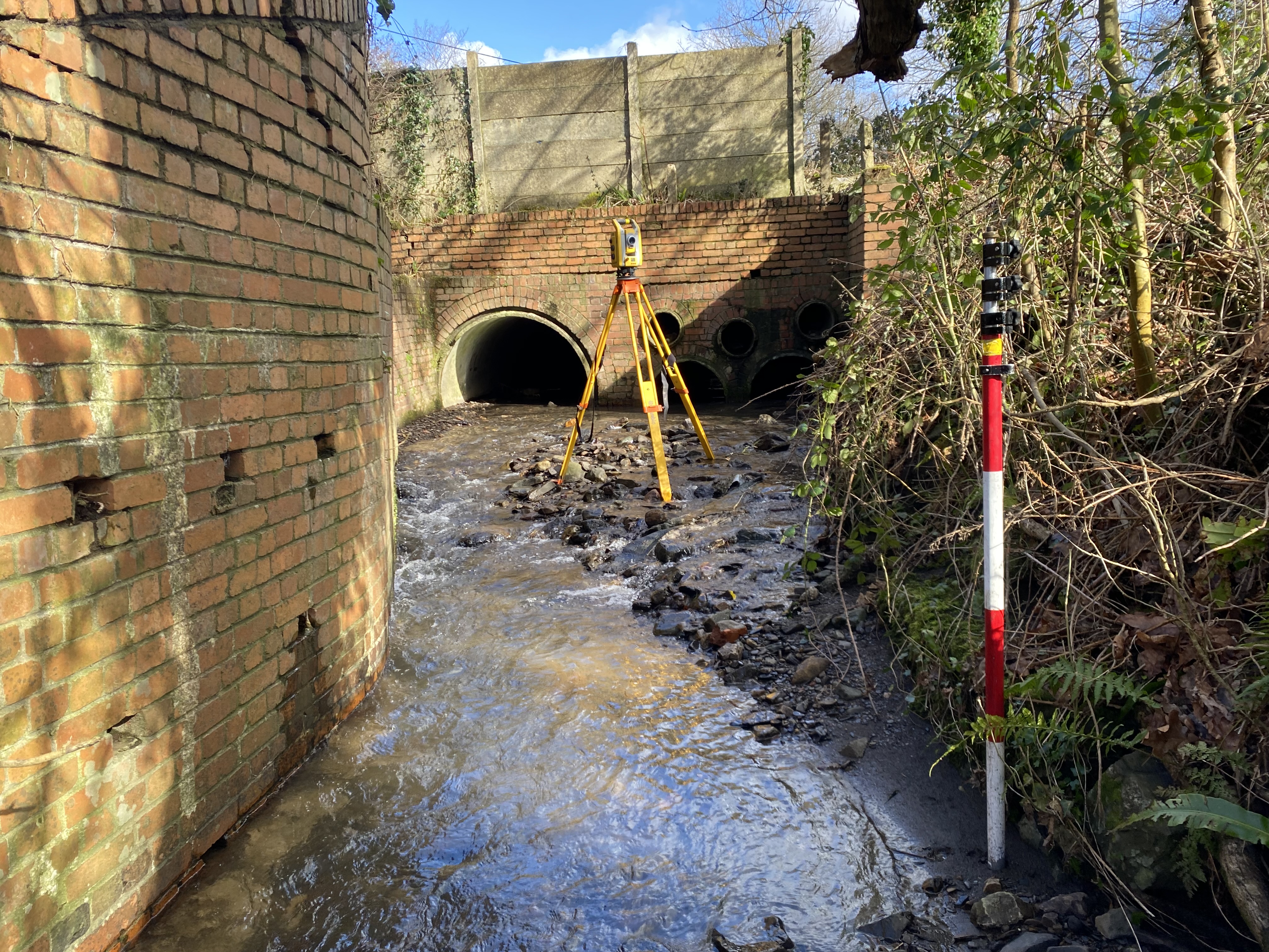
- Structural Complexity – The watercourses involved a variety of channels from dry ditches to canals to 30m wide rivers. As a result the structures involved ranged from footbridges to culverts to major highway bridges. Additionally flood walls, embankments, manholes, weir systems & gauging stations were all required to be surveyed in full.
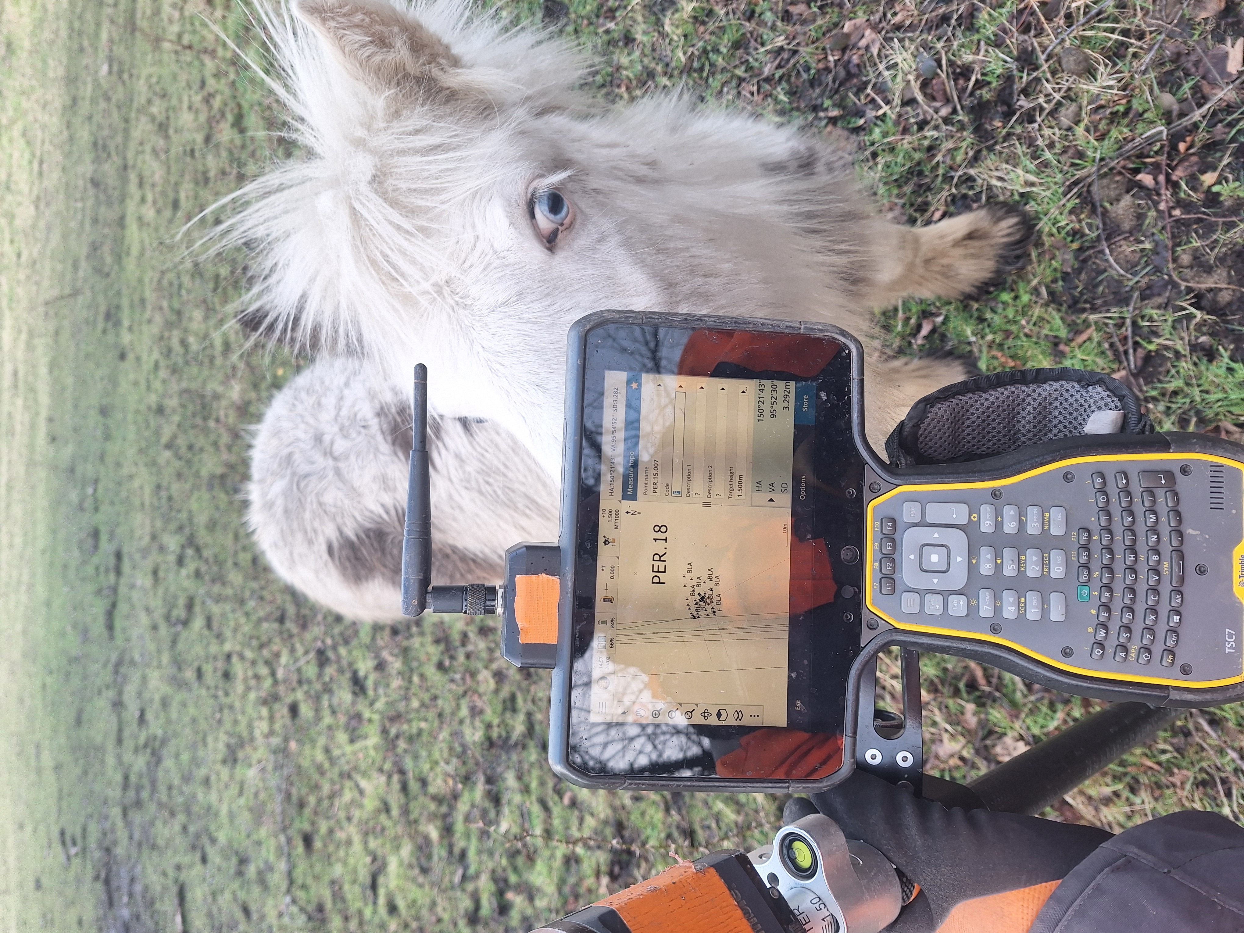
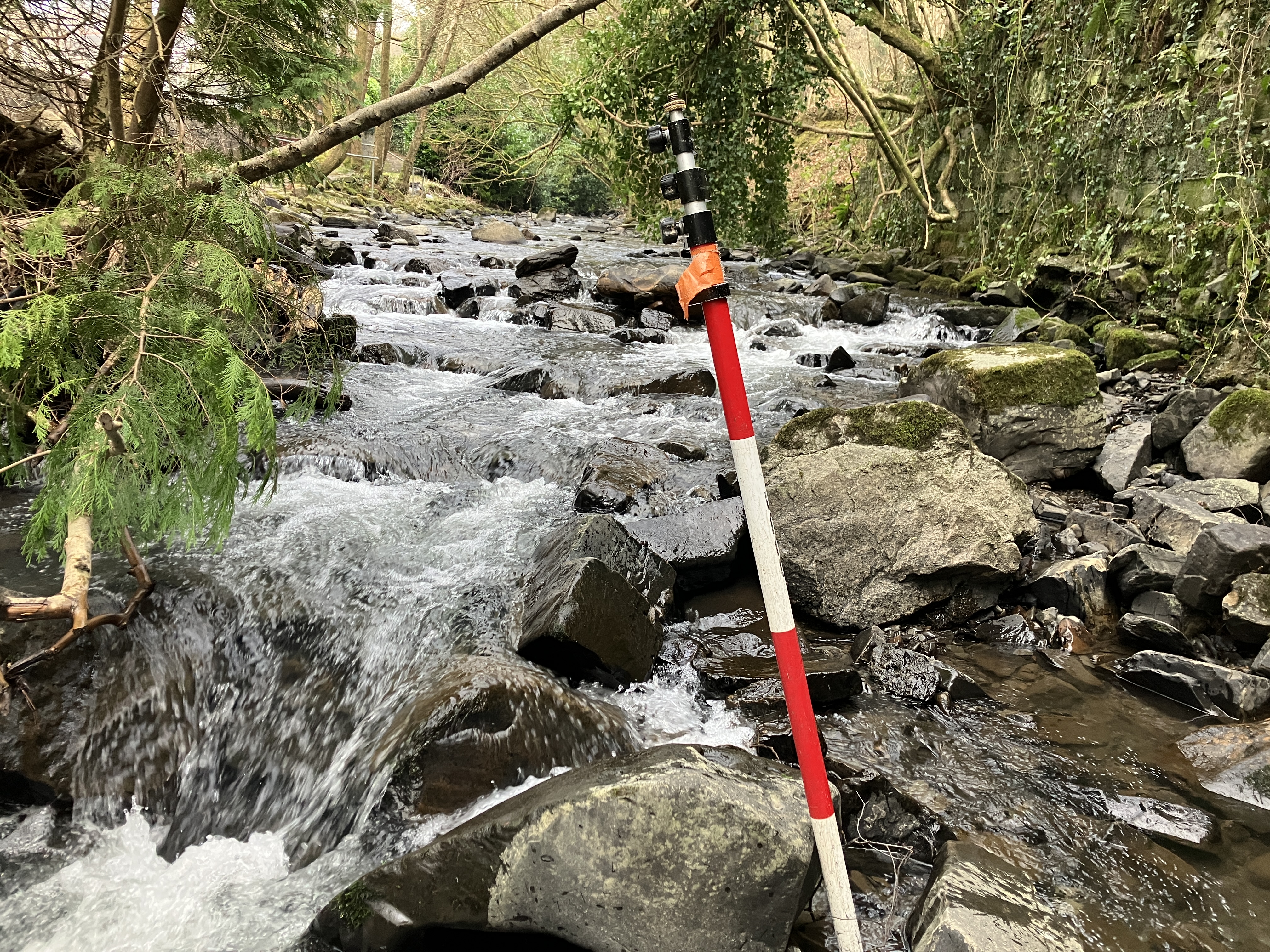
- Environment – The survey extent included areas of landslip, hostile sites, dense vegetation & complicated watercourses. All of these challenges had to be negotiated in coordination with the client.
Process
The Results
- The survey was collected, processed & delivered to Environment Agency’s National Standard Technical Specification for Surveying Services (v5.01).
- Over 800 cross sections were surveyed over a length of 22,824m, on 17 watercourses
- Deliverables included cross section drawings, long section profiles, topographic drawings, XYZ exports, Flood Modeller Pro, HEC-RAS, TUFLOW, photography, manhole sheets, 360º GoPro photos, survey report & control.
- The data was processed using our in-house GeoRiver® software to allow seamless integration & multiple exports to match the client specifications & requirements.


“This project was a comprehensive approach to capture the hydrological activity within the valley system. The deliverables will allow our client to accurately model the whole area of Glyn Neath & thereby enhance flood risk planning in the future.”

- Matt Maddalena
Survey ManagerRecent News

Biodiversity Gains Delivered with Data
From biodiversity uplift to advanced scour modelling, see how our teams drove sustainable progress this month.

Geospatial Data Powers Asset Management
Essential Bridge Scour Surveys Across England Storm Geomatics has been commissioned to deliver routine scour assessments across 34 bridge...

That’s A Wrap: 2025 River Surveys & Festive Resilience
Storm Geomatics conducting a channel survey in Emsworth to support flood modelling and river connectivity analysis.