
River Survey Powers Habitat & Flood Resilience
The Background
- Date
- July 2025
- Client
- Royal Haskoning DHV Ltd
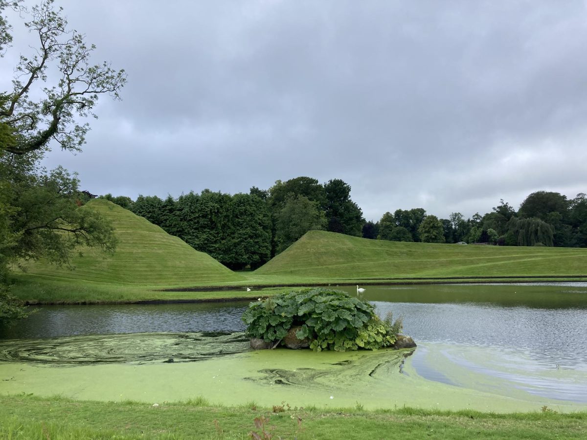
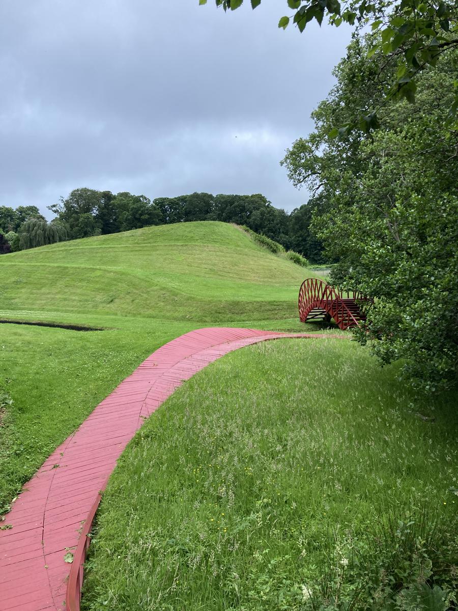
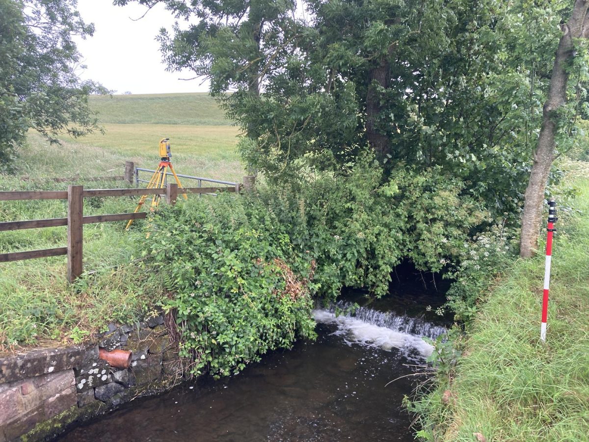
Laggan Burn, in Dumfries, is the focus of a river restoration project aimed at improving habitat connectivity, reducing flood risk, and increasing natural water storage capacity. Restorations options for the site may include remeandering, improving fish passage (barrier removal), relocating or removing existing bunds, in-channel NFM works and floodplain wetland creation’
Royal Haskoning required a high-accuracy geospatial survey to inform their restoration design and hydraulic modelling. Storm Geomatics were chosen to deliver this complex project.
The Challenge
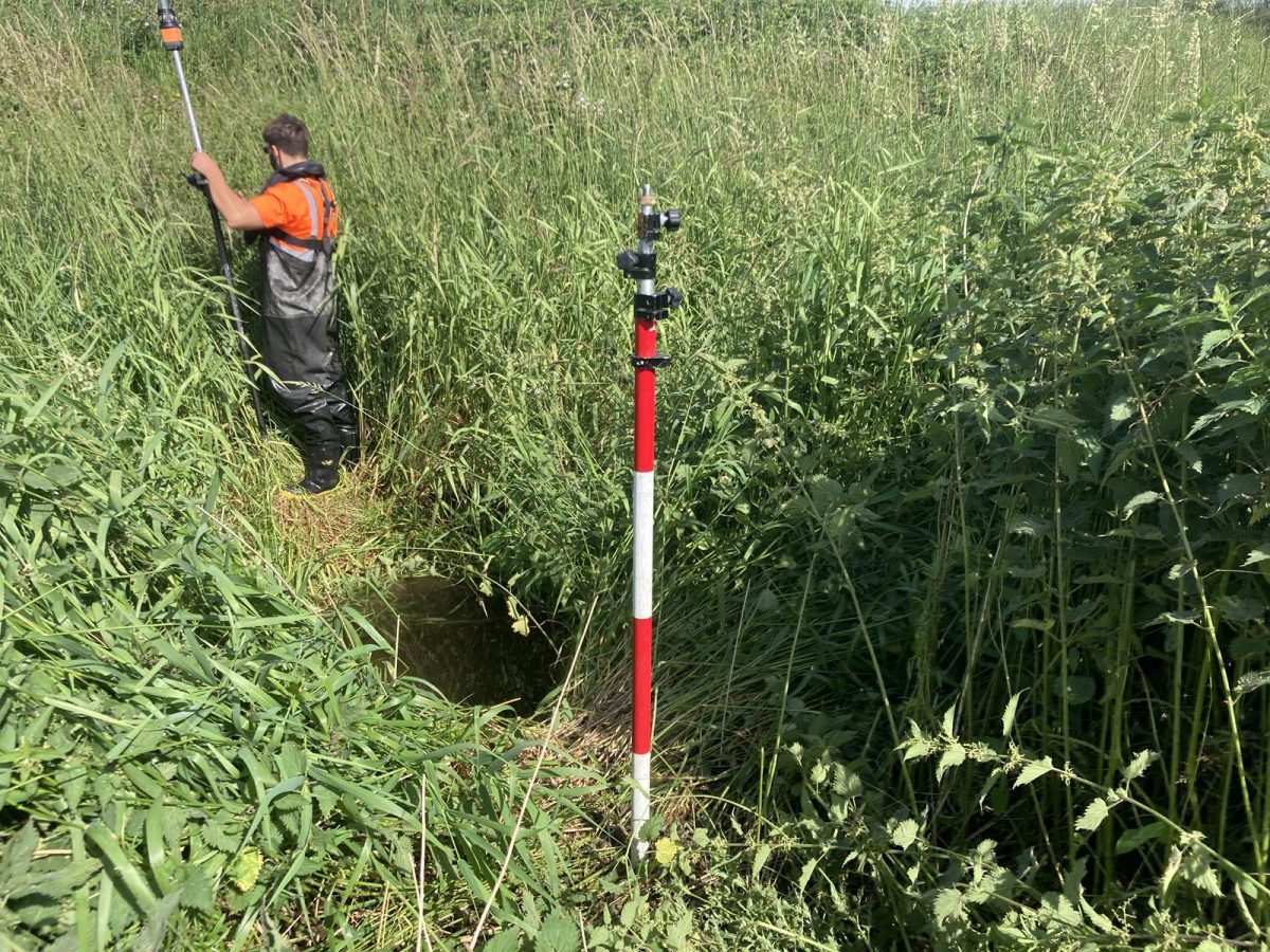
The survey site was located a considerable distance from our headquarters, meaning that every detail had to be planned in advance to avoid delays or costly re-visits. Close collaboration between the project lead, our operations coordinator, and the client ensured access arrangements, permits, and technical requirements were secured before mobilisation. Constant communication allowed us to resolve unforeseen access issues in real time while still on site.
Dense woodland canopy required careful GNSS planning. Using R12i receivers, our team achieved rapid, high-accuracy data capture even under challenging tree cover.
The Results
Survey Deliverables
- 50 channel cross-sections as drawings and hydraulic model files.
• Long section and location plans
• 10m ground level grid
• Topographic survey in .dwg and .csv formats
• Survey of sluice, outfalls, and key river features
Delivered complete and model-ready datasets on time and to specification, enabling the client to proceed confidently with flood modelling and restoration design. Provided clear, well-presented cross-sections, long sections, and georeferenced plans, ensuring transparent communication of survey outputs to both engineers and environmental stakeholders.
Projects such as this one are important for not only mitigating flood risk but also for creating new wetland habitat by allowing rivers to take their natural course.

- Caitlin Tonge
SurveyorRecent News

Biodiversity Gains Delivered with Data

Geospatial Data Powers Asset Management
