
Cambridge First Public Drain Flood Risk Survey
The Background
- Date
- March 2026
- Client
- Ramboll
Storm Geomatics were commissioned to undertake a survey that will inform engineers of the topography and flood risk associated with the Cambridge First Public Drain.
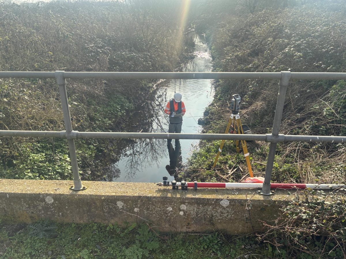
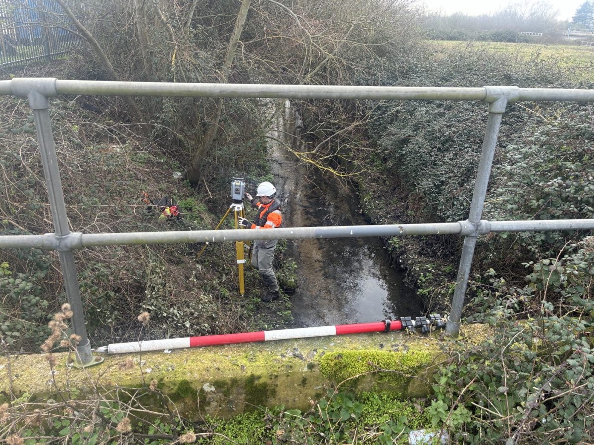
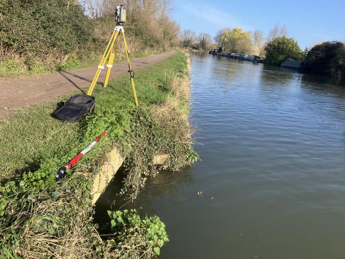
As the UK’s only specialist geospatial surveying company dedicated to the measurement in the river corridor to better understand river behaviour and condition, Storm are trusted by clients to survey rivers with difficult access, complex catchments, and challenging conditions. Led by Senior Surveyor Tom Isaac, surveyors carried out a precise survey, using existing control points previously established in the area. This allowed the team to:
- Validate and strengthen the reliability of the new dataset
- Eliminate unnecessary time on site
- Ensure continuity with previous hydraulic models
The Challenge
The Cambridge First Public Drain plays a critical role in managing surface water flow into the River Cam. However, the client lacked reliable data on:
- The true flow paths of the First Public Drain
- The conditions and capacities of the associated structures
- Uncertainty caused by limited open‑source photography and unmapped culvert routes
- The topography and flood risk across business, private and public land.
The nature of the structures was largely unknown due to the lack of open source photography. There was also some uncertainty surrounding the main route of flow into the River Cam. The drain discharges northeast beneath the A14 toward Horningsea, but evidence also suggested a long culvert might divert flow southeast toward New Fields Caravan Park. Storm’s client required definitive confirmation of these routes to model flood behaviour accurately and plan future resilience work.
This was a perfect scenario for Storm Geomatics’ specialist survey skills.
The survey extended through public open space, but also through the business park & the local Water Recycling Centre (WRC). Surveyors secured land access to all the requested cross section locations, with the only exception being one cross section within a private landowner who was not in at the time of survey. Inductions and permissions were undertaken to comply fully with the standard operating practices of the WRC. All in advance of site mobilisation.
The Results
The survey was swiftly processed & delivered early to the client. The full deliverables included geo-referenced photography, XYZ data, Flood Modeller Pro, EACSD, survey report, control station description sheets, cross & long section drawings & PDFs.
This enabled Storm’s client to confirm the actual drainage flow routes whilst understanding the channel conditions. Without doubt this data will improve the accuracy of hydraulic flood model that plans future flood mitigation strategies to save local communities any hardship.

Recent News

Biodiversity Gains Delivered with Data

Geospatial Data Powers Asset Management
