Mapping Live Roads
The Background
- Date
- Autumn 2025
- Client
- Savills for Tritax Park Cambridge Ltd
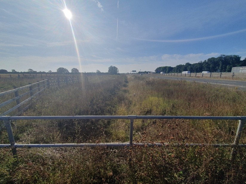
Storm Geomatics was commissioned to deliver a series of topographic surveys at the Bar Hill Junction on the A14 and stretches of the B1050 and A1307. The work formed part of ongoing development on arable land earmarked for industrial units and required detailed information to support the design of a new junction.
Following earlier surveys in April, July, and September 2024, this phase extended the scope to cover approximately 2.5km of highway.
The Challenge
Storm’s client required a complete survey of live carriageways, including the A14, without the disruption and high costs associated with traffic management measures or road closures. The challenge was to capture precise data while ensuring safety, efficiency, and minimal impact on road users.
The Solution
Storm Geomatics partnered with Korec Professional Services’ Mobile Mapping Team to deliver a hybrid survey solution:
- Mobile Mapping: Korec’s team deployed mobile mapping equipment to survey the live lanes quickly and safely, eliminating the need for lane closures.
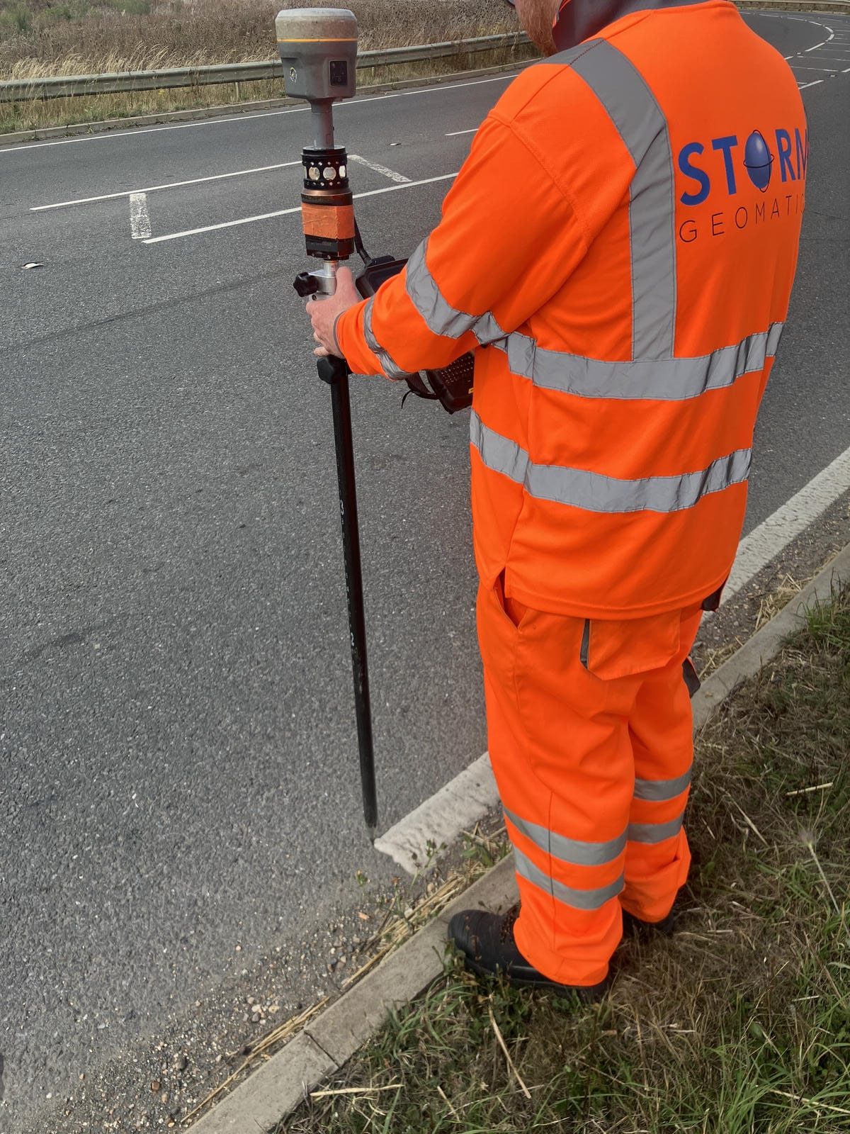
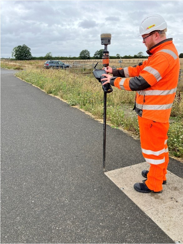
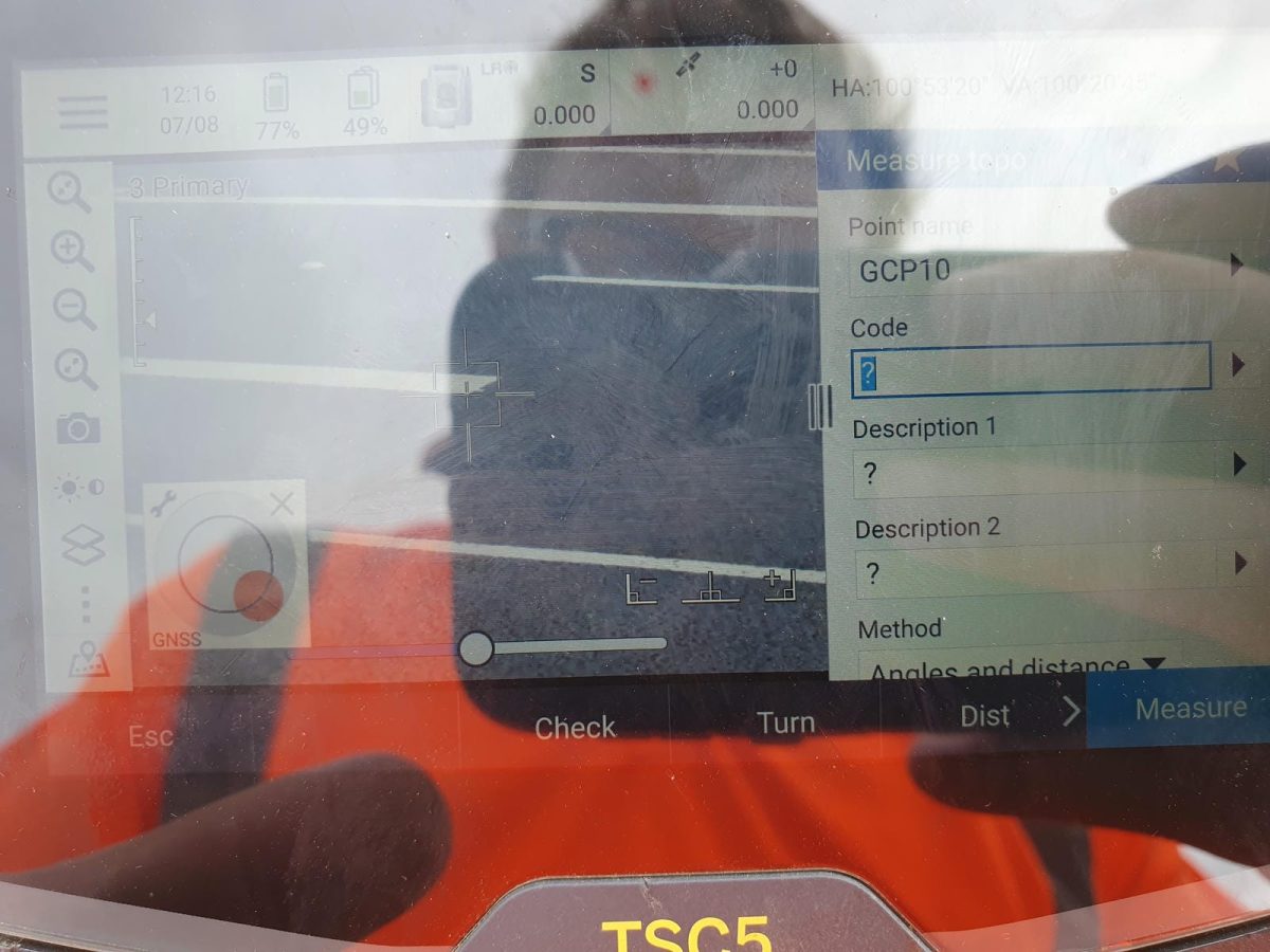
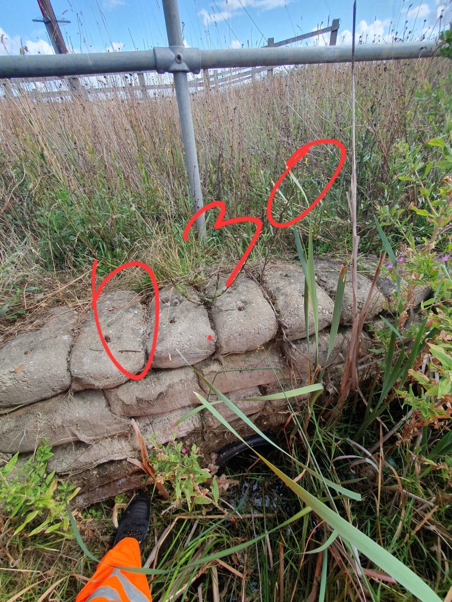
- Ground Control Points (GCPs): While completing terrestrial survey work, Storm surveyors, led by Senior Surveyor Laurence Washbrook, established GCPs to refine the mobile mapping registration. These points were captured from durable features such as bridge soffits, manholes, and road markings.
- Data Integration: Using Trimble Business Centre, Storm’s team combined the datasets and utilised automated feature extraction tools to accurately extract kerbs, white lines, signage, lighting columns, and other road features.
This approach allowed for maximum efficiency, delivering comprehensive, hyper intelligent data while significantly reducing time spent on site and the need for costly traffic management.
The Results
- Safety and Efficiency: Live lanes were surveyed without disruption to road users.
- Time Savings: Automation of feature extraction reduced processing time while maintaining accuracy.
- Client Confidence: The seamless integration of mobile mapping and traditional survey methods provided the client with a reliable, detailed dataset to progress design works.
- Reduce investment risk: The collaboration of skills from Storm Geomatics and Korec’s mobile mapping team kept the project on its critical path without compromise.

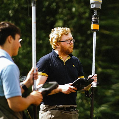
- Laurence Washbrook
Senior SurveyorRecent News

Biodiversity Gains Delivered with Data

Geospatial Data Powers Asset Management
