Rhondda Valley Project
The Background
- Date
- Nov 2021
- Client
- ARUP
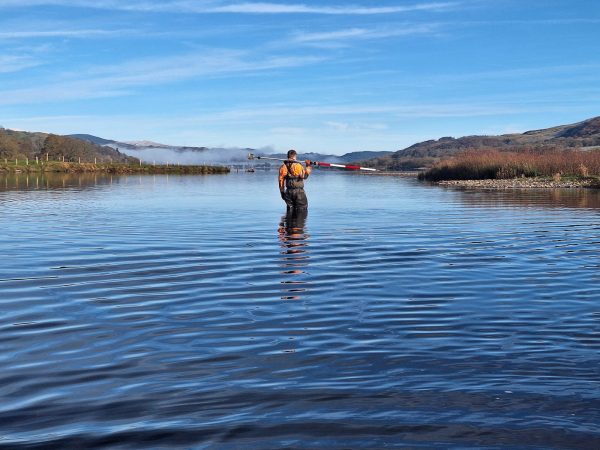
Between July and November 2021, Storm Geomatics undertook a survey in the Rhondda Valley for Natural Resources Wales on behalf of engineering consultancy ARUP. The purpose of the project was to try and reduce the impacts of flooding after the effect of events such as Storm Dennis in February 2020 had on several places within the valley. Utilising mainly Storm’s South-West office resources, six different reaches were surveyed by multiple teams with a thirty-two kilometre stretch along the River Rhondda –from Blaenrhondda all the way down to Pontypridd. In total, over 450 sections were surveyed with an additional ten kilometres of defence walls!
The Challenge
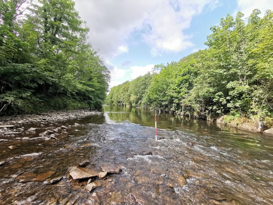
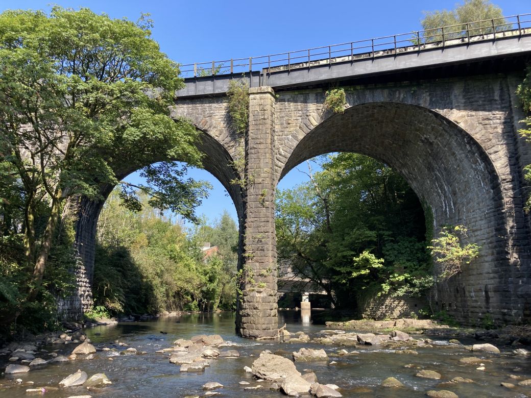
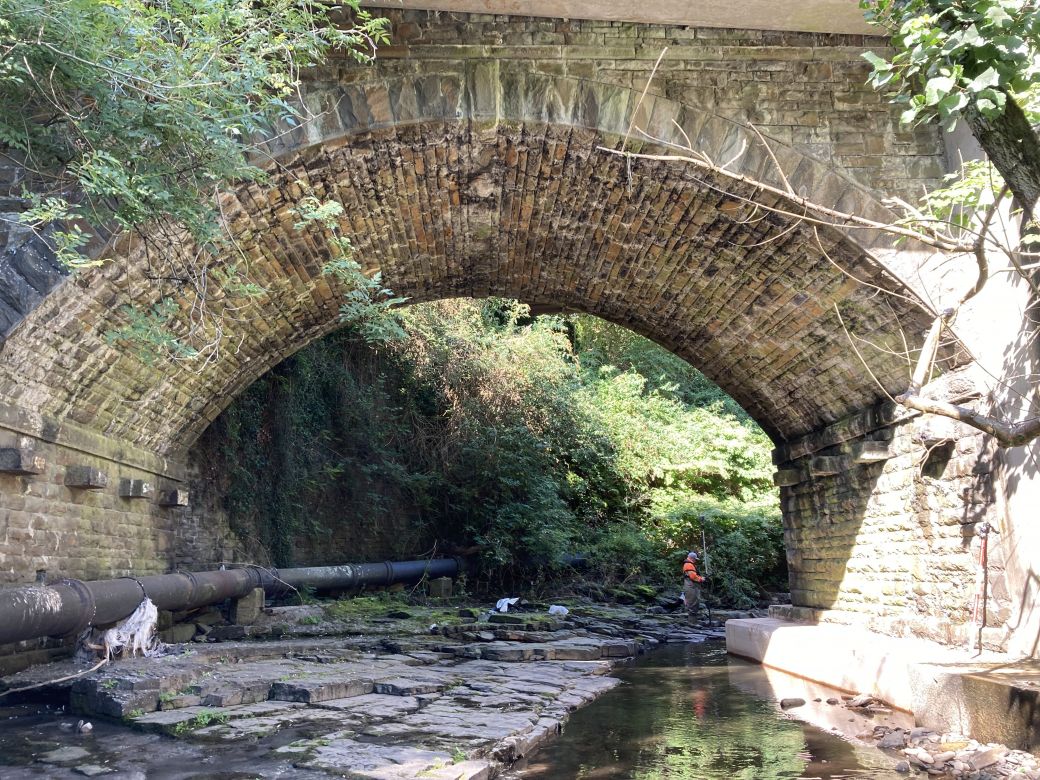
This was a challenging survey for the team as the river conditions were often difficult to access due to the sheer size and depth of the watercourse. The velocity of the flow and the smoothnesss of the river bed hindered ease of accessibility. However, the team drew upon their training and experience to ensure that they could collect as much data as physically possible for the client. Access into the channel was limited due to the large concrete flood defences that often lined both banks, so the surveyors had to adapt to the unusual approach of setting up in between the banks and often found themselves traversing up and down the channel with all their equipment.
The Results
The project was completed to a high standard with the client expressing their gratitude due to the complexity of it. Whilst conducting the survey many valley residents expressed their opinions of the effect the river had on their lives; therefore, hopefully this data will be implemented to improve the existing defences to reduce future impacts.
Recent News

Geospatial Data Powers Asset Management

That’s A Wrap: 2025 River Surveys & Festive Resilience