Minsmere and Yox Model Survey to Assess Flood Risk
The Background
- Date
- Autumn 2022
- Client
- Environment Agency
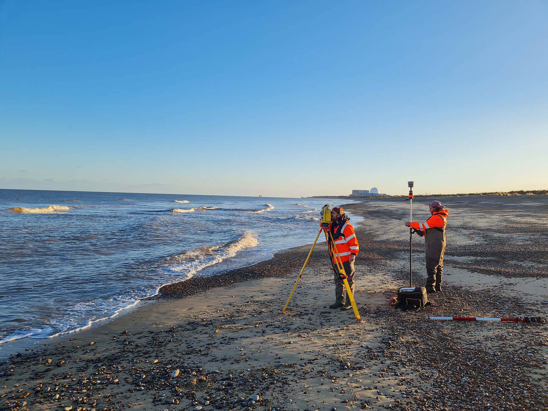
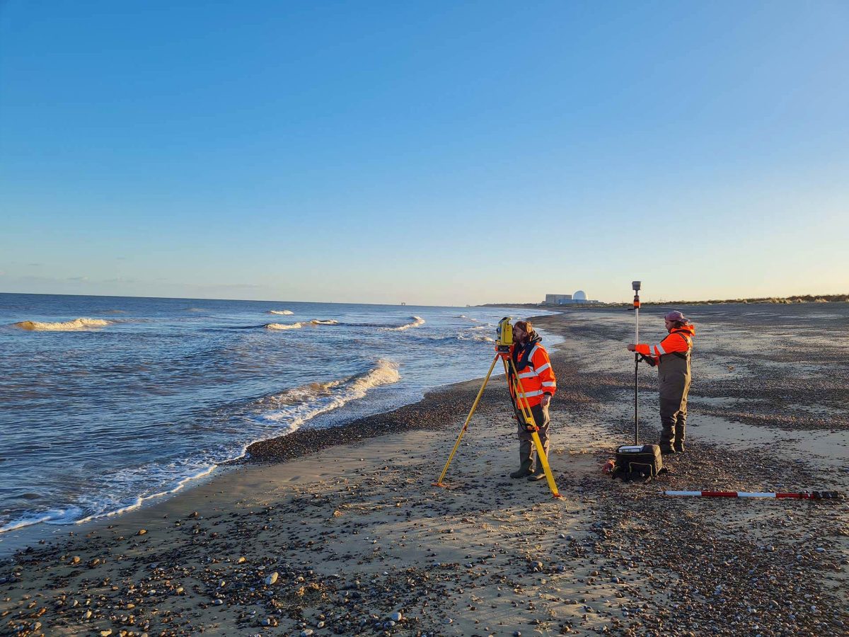
This watercourse survey was conducted on behalf of the Environment Agency through Storm’s long standing client JBA Consulting Limited during Autumn 2022. The survey involved 19 different reaches, over 350 cross sections and spanned over 34000m of watercourse. Its purpose was to enable the Environment Agency to assess flood risk to the area, identifying the potential properties and communities at risk. Multiple teams from both Storm Geomatics Head office and Southeast office were utilised to complete the survey.
The Challenge
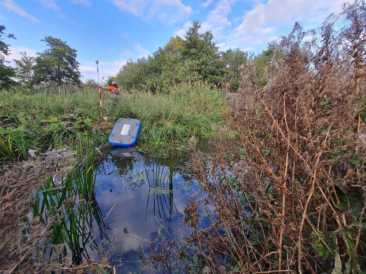
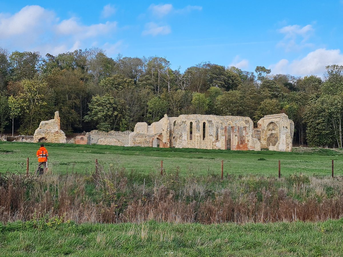
There were multiple challenges due to the scope of this survey. One of the main areas that needed more attention was surveying the River Minsmere within the RSPB Minsmere nature reserve. This reserve is home to an abundance of wildlife that has been managed by the RSPB since 1947. The RSPB were notified whilst Storm Geomatics performed a site walk that was conducted before any site work was started. Due to the timing of the survey work Storm were able to carry out the survey in and around the River Minsmere within the wetlands as the nesting season was over. Being inundated with reeds, this area was the most challenging to survey. A team of three surveyors, utilising two floatation platforms, were used to navigate and survey this densely vegetated area. This made it easier and safer to obtain all outer bank and inner channel data.
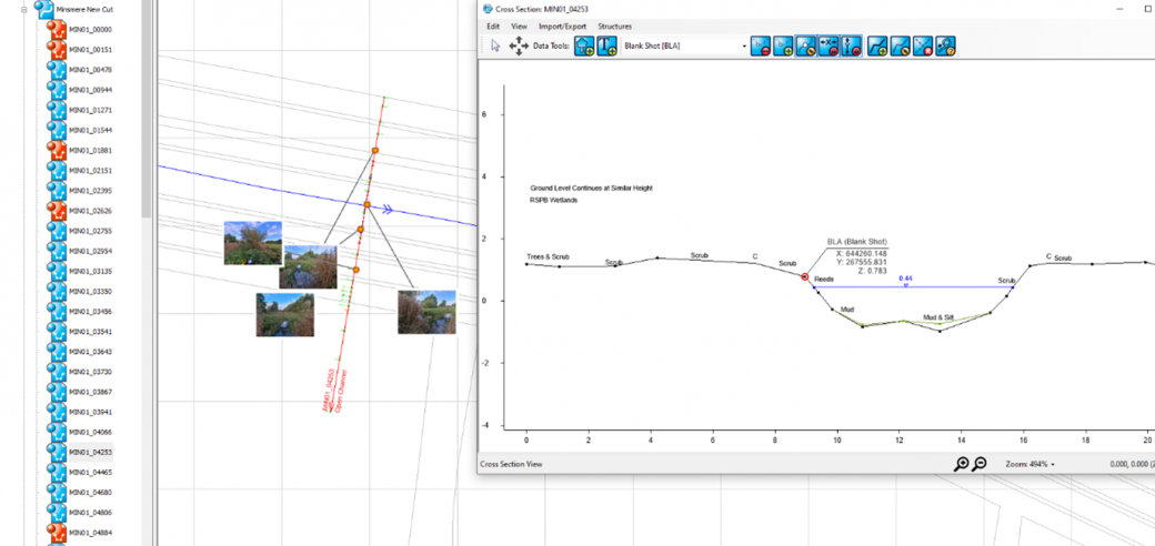
A further challenge for the team was collating the data and ensuring that progress of each watercourse was recorded so that the handover of data from one surveyor to another went smoothly. Surveyors processed the data in Trimble Business Centre, and then exported this data to .CSV files and arranged it correctly so that it could be imported into our own software, GeoRiver®. So intuitive is GeoRiver®, the task of processing cross section survey data was very efficient from the drawing of cross sections (including structures), to placing of photos with bearings and being able to export different data sets so that they can be read by the latest flood modelling software and also pass EACSD validation.
The data goes through many Quality Assurance stages making sure that the final data sent to the client is to the stated specification and bespoke to the project specification.
The Results
All work was completed to the latest Environment Agency specification (V5.0) with certain elements of the deliverables being bespoke to the needs of JBA Consulting Limited. All of the cross-section data was processed using GeoRiver® and multiple sets of data were exported from here. This includes Flood Modeller, XYZ data, valid EACSD files, CAD drawings and georeferenced photographs with bearings.
Recent News

Biodiversity Gains Delivered with Data

Geospatial Data Powers Asset Management
