

AMP8 Delivery: Turn River and Asset Uncertainty into Better Decisions

Eighteen months into AMP8, focus has shifted from planning investment to delivering outcomes. We take a look at the latest trends & why Storm Geomatics is your best partner for geospatial survey data.
The water industry is part way through AMP8 (Asset Management Period 8), the largest investment programme in England and Wales for more than 30 years. With £104 billion of expenditure planned between 2025 and 2030, water companies and delivery partners face increasing pressure to demonstrate progress, manage risk and deliver measurable environmental and operational outcomes. To grasp the level of commitment from regulator Ofwat this is a 71-77% increase in expenditure since the AMP7 cycle.
Ofwat has introduced enhanced delivery-assurance requirements, requiring companies to demonstrate progress against delivery plans and identify emerging risks. For project teams, the practical question is what remains unknown at asset and catchment level: channel geometry, floodplain connectivity, critical levels, structures, access constraints and environmental condition. Storm Geomatics helps convert those unknowns into decision-ready evidence for modelling, design and delivery via specialist surveyor knowledge of the riverine environment.
Trend 1. Evidence-led asset management
What’s happening now
AMP8 places significant emphasis on asset performance, resilience and operational outcomes. The quality of underlying asset information is becoming increasingly important.
| STORM GEOMATICS SOLUTION |
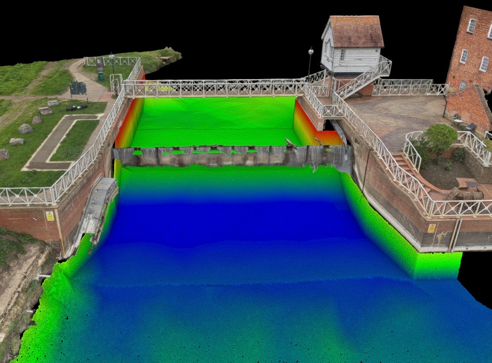
| Storm starts with the decision the client needs to make. Inland water specialist geospatial surveyors capture channels, structures, banks, floodplains and asset interfaces as one connected system, then structure outputs for hydraulic modelling, engineering design, environmental assessment or asset management. Specific to each client requirement and preferred output. |
YOUR BENEFIT Give modellers, engineers and asset managers one clearer representation of the river and asset system, reducing assumptions where options and investment decisions are shaped.
Trend 2. Delivery assurance and programme visibility
What’s happening now
Water companies are expected to demonstrate progress, identify risks early and provide assurance that investment programmes remain on track. Missing information can quickly become a delivery risk.
| STORM GEOMATICS SOLUTION |
| Before mobilisation, Storm aligns project scope with the intended model, design or environmental output. Site access, control, channel conditions, structures, floodplain extent and output formats are considered together, with designated lead-surveyor weekly reports providing early visibility of constraints or scope gaps. |
YOUR BENEFIT Expose access, scope and data risks before they reach the critical path, with outputs matched to the next technical decision rather than handed over as a generic survey package.
Trend 3. Whole-life value from the survey investment
What’s happening now
With £104 billion of AMP8 expenditure, attention is focused on value and intended outcomes. Poor-quality or incomplete information, including geospatial data can introduce risk later in the project lifecycle.
| STORM GEOMATICS SOLUTION |
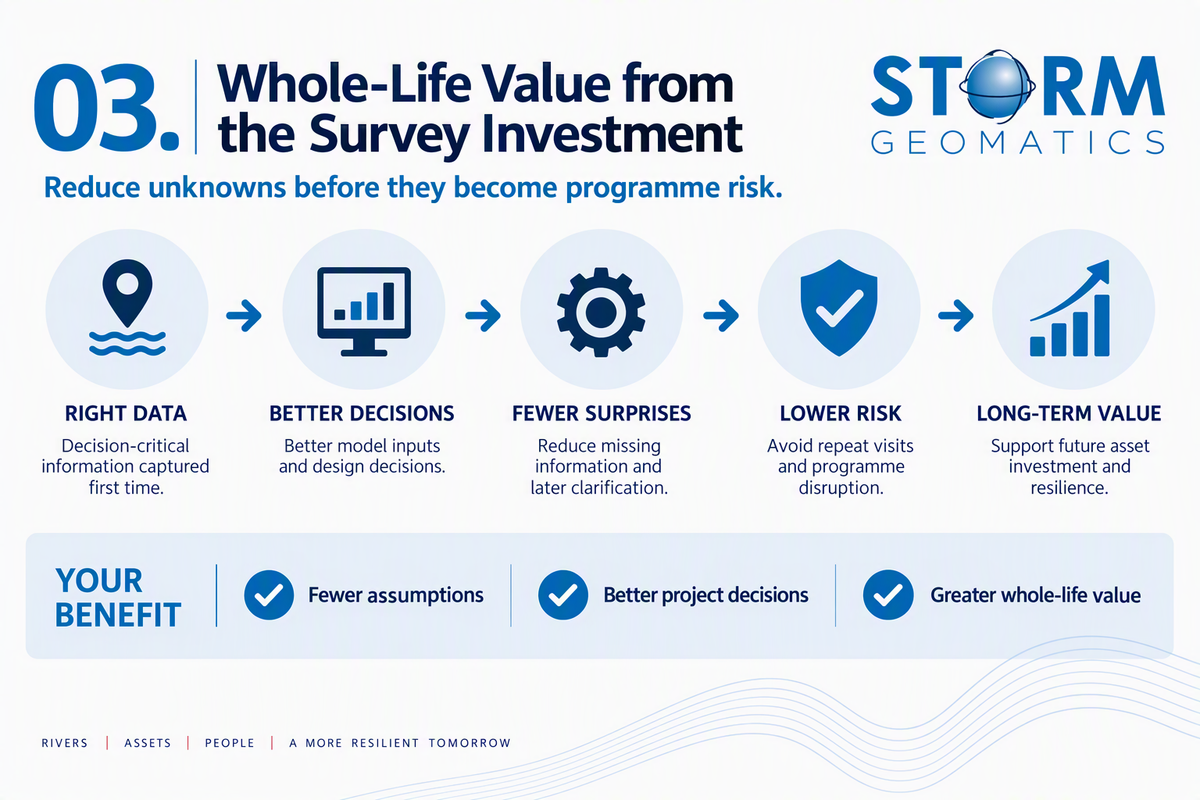
| Storm scopes data around downstream use rather than maximising capture for its own sake. Detail is prioritised where it influences hydraulic behaviour, levels, tie-ins, quantities, environmental condition and constructability. |
YOUR BENEFIT Reduce the likelihood of repeat visits, missing model inputs and late clarification by capturing decision-critical detail correctly at the first opportunity with Right First Time Geospatial Data.
Trend 4. Environmental performance and compliance
What’s happening now
Environmental improvement is a major component of AMP8, including water quality, biodiversity, catchment management and wider outcomes delivered through programmes such as the Water Industry National Environment Programme WINEP.
| STORM GEOMATICS SOLUTION |
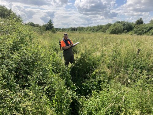
| Storm can combine geospatial data with river-condition evidence. MoRPh capability, river cross-sections, structures, floodplain geometry and habitat context can be coordinated so environmental and engineering teams use a more connected baseline. Storm’s specialist surveyors are also MoRPh trained. More details here. |
YOUR BENEFIT Allow engineering and environmental teams to assess interventions against the same evidence, supporting options that work for the asset and the river corridor.
Trend 5. Digital delivery and River Digital Twin®
What’s happening now
Digital workflows, advanced modelling and visualisation are increasingly important. The quality of digital outputs is heavily influenced by the baseline data.
| STORM GEOMATICS SOLUTION |
| Storm Geomatics is the creator of River Digital Twin®. It brings above-water and below-water geometry, terrain, structures and environmental information into reusable geospatial asset supporting models, design reviews, visualisation and future asset decisions. |
YOUR BENEFIT Create a reusable baseline that supports modelling today, communicates proposals clearly and retains value for later design, monitoring and asset-management decisions.
Trend 6. Carbon Reduction Focus
What’s happening now
AMP8 is treating carbon as a procurement and contract issue, there is now a need for water companies to adopt innovative, measurable and collaborative solutions to reduce their carbon footprint. They are now required to measure carbon emissions at every stage of a project lifecycle of the solutions they put in place.
| STORM GEOMATICS SOLUTION |
| Through Storm Geomatics’ independently verified greenhouse gas inventory, verified in accordance with ISO 14064-3:2019 by a UKAS-accredited verification body, clients can rely on measured emissions data rather than generic spend-based estimates. Storm Geomatics’ verified carbon intensity is 81 tCO₂e per £m revenue, compared with the DEFRA spend-based factor for architectural and engineering services/technical testing and analysis services of 147.4 tCO₂e per £m revenue. As a result, using Storm’s verified emissions data could reduce reported Scope 3 emissions by approximately 66.4 kgCO₂e for every £1,000 spent, compared with applying the generic DEFRA spend-based factor. |
Successful delivery depends on thousands of decisions, from asset assessments and hydraulic models to environmental interventions and capital-investment planning. Those decisions are stronger when the survey is designed around their intended use.
| PLANNING AN AMP8 PROJECT? If you are planning an AMP8 asset management project, let’s talk about how our expertise can de risk the delivery and determine success. Our team are waiting for your call 01608 664910. |