
Collaboration is King for Middle Nene
The Background
- Date
- 2024-2025
- Client
- Ove Arup / Environment Agency
This mammoth project spanned 14 months; the primary objective was to provide accurate, Environment Agency-compliant data to support flood risk modelling, improve flood mapping and forecasting, and strengthen resilience planning for local communities. At its peak, 9 specialist Storm Geomatics surveyors worked simultaneously to ensure timely delivery within budget.
Managing a project of this scale comes down to control and communication. Once you have that, everything else follows.”
— Tom Atkinson, Lead Senior Surveyor
- 1,769 cross sections
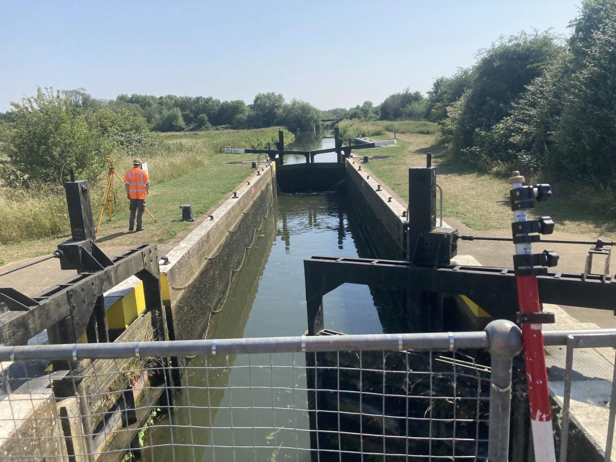
- 329 structures; weirs, sluices, bridges
- Environment Agency specification 5.1v compliant
- 3 x 3 man survey teams deployed at the project’s peak
Project Background
The Middle Nene is a critical catchment for Northamptonshire and Cambridgeshire, forming a key part of the region’s flood risk management strategy. With extreme rainfall events becoming more frequent, the Environment Agency required a robust, high‑accuracy dataset to support hydraulic modelling, forecasting, and defence design.
Storm Geomatics was commissioned to deliver this data at scale. A project that embodies the ethos of Storm Geomatics, you could say, “a project they were born to complete” combining specialist river surveying expertise with resilient project planning across complex access, weather and asset conditions.
Project Objectives
- Enable robust flood risk modelling: Deliver high‑accuracy survey data to improve hydraulic model calibration and validation across the Middle Nene.
-
Capture complete channel geometry at scale: Floodplain extents & conveyance representation.
-
Update gauge information: Update flow and level gauges,including gauge boards.
- Fully compliant EA Technical Standard v5.01 ready for modelling.
- Seamless integration: using GeoRiver® software to improve modelling work flows
Community Impact
Real impact created through data; improving local communities via:
- Better forecasting and earlier warnings for communities along the Middle Nene.
- Smarter Resilience planning that helps prioritise funds to vulnerable areas.
- Reduce disruption & recovering time through improved understanding of flow controls.
- Improved stakeholder engagement by sharing risk maps & preparedness advice.
- Long-term environmental stewardship, enabling nature based solutions to be a possibility.
Storm Geomatics Capability
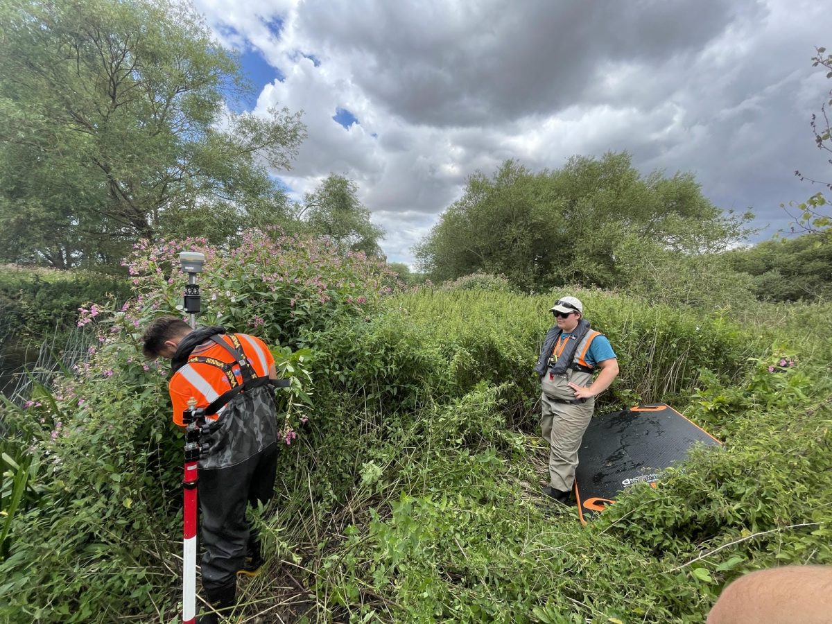
Storm Geomatics deployed multiple specialist survey teams across the project. Senior Surveyor Tom Atkinson provided end‑to‑end technical leadership, ensuring consistency across all fieldwork and data management activities. Using talent from across Storm’s workforce ensured delivery capacity without over committing and running into delays. A smart move was to take full advantage of good weather windows to complete site work as a priority.
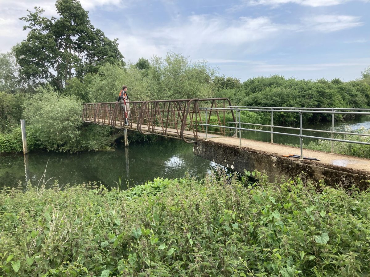
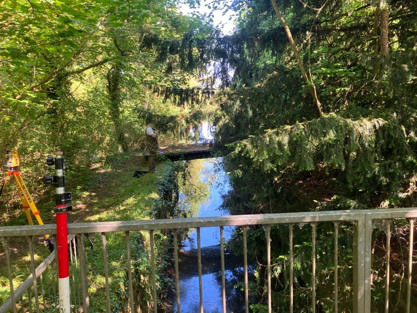
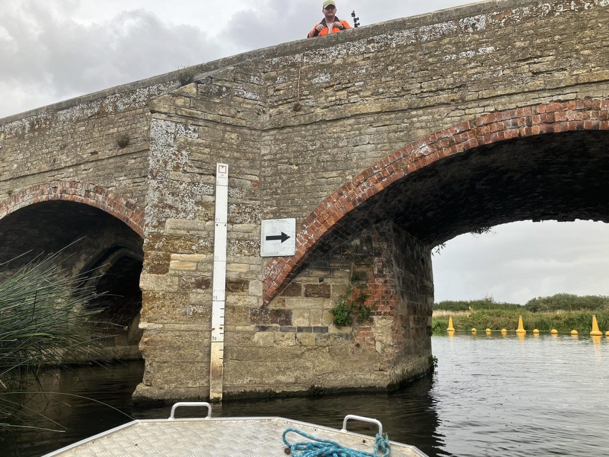
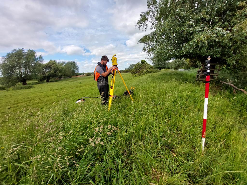
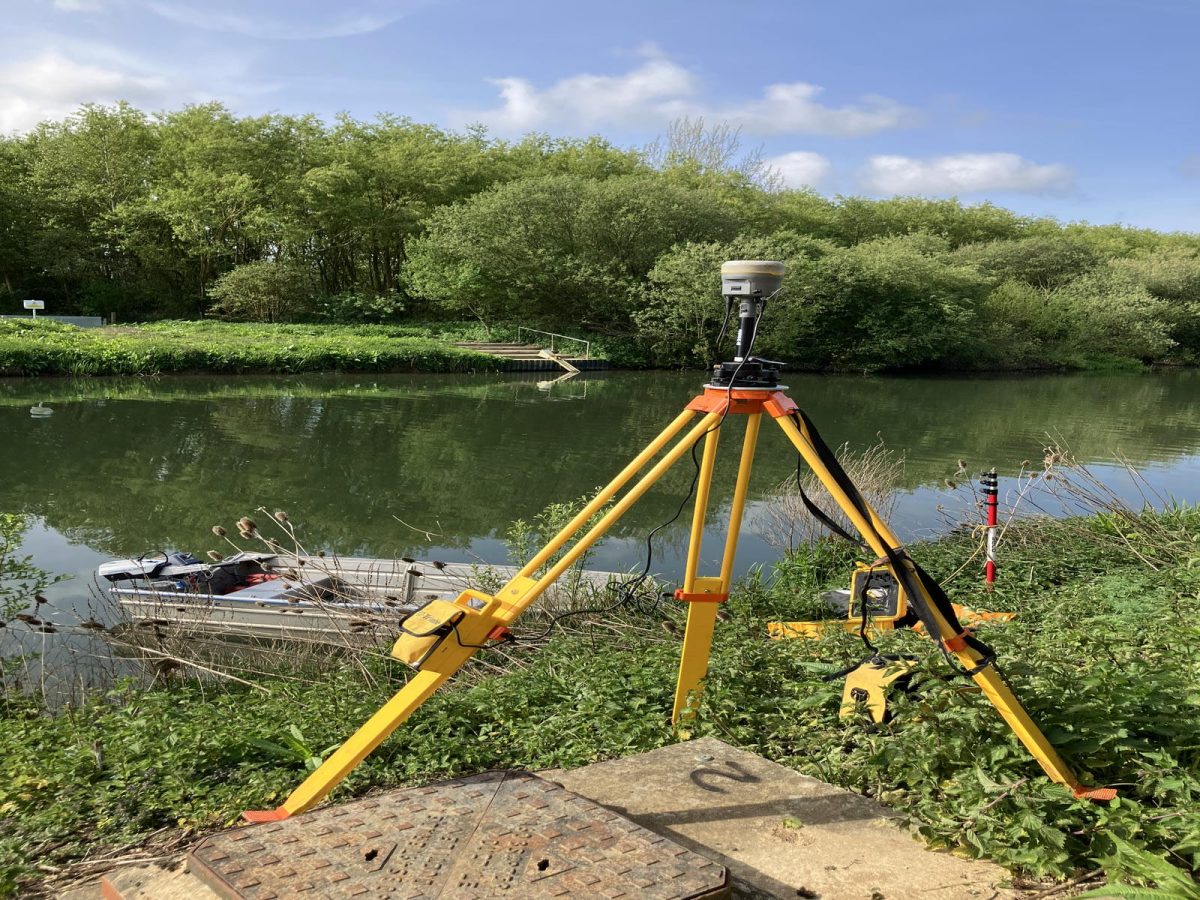
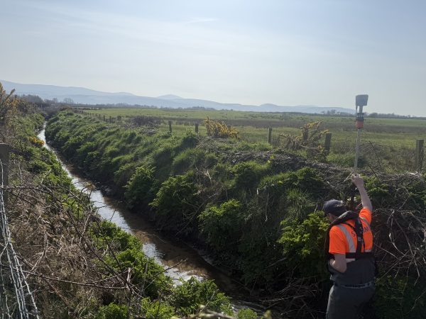
Survey operations focused on open‑channel cross‑section capture using:
- Integrated GNSS + Total Station surveying, enabling accurate real‑time control.
- Single‑beam echo sounding, deployed in deeper sections unsuitable for pole surveying.
- Specialist survey vessels, including electric outboards used where flows allowed.
- GeoRiver® processing, ensuring efficient and compliant data outputs requested by our client.
Everything we did was cross‑sections. Where structures were present, we captured them in more detail so the client could model them accurately.” Tom Atkinson, Senior Lead Surveyor
The Challenge
Challenge |
Storm’s Solutions |
| Strong Stream Advice restrictions – unpredictable, safety‑critical EA asset conditions | Storm shifted to a reactive, safety‑led programme, using historical trends and real‑time updates |
| Weather dependency impacting access windows | Front‑loaded sitework during stable months to avoid winter shutdown |
| Geographical scale & logistics (locks, launch points, landowners) | Broke the project into manageable areas, with carefully planned launch strategies & landowner contacts. |
| Large data volume (1,769 cross-sections) | Tom’s Processing Progress Tracker to maintain visibility from survey → QA → delivery. Proved a vital tool. |
| Complex automated structures requiring isolation | Permits to Work and structure‑specific proformas with the EA permission. |
Once we understood how Strong Stream Advice would affect us, the priority was to get as much sitework done safely during the right windows.”
Tom Atkinson, Lead Senior Surveyor
These collaborative approaches, implemented jointly with ARUP and the Environment Agency kept the project on it’s critical path.
Storm’s client at Arup and Environment Agency added:
The Middle Nene survey project was a substantial piece of work, covering most of the fluvial Nene from South Bridge in Northampton down to the tidal limit at the Dog‑in‑a‑Doublet. The start of the project was particularly challenging due to persistent heavy rainfall, and River Advice to Boaters was in force for much of the autumn and winter. This meant survey work couldn’t progress as planned and caused delays to the original programme.
Throughout this period, Storm Geomatics were excellent at keeping us informed. They were proactive as soon as conditions improved, bringing in extra resource and pushing ahead with fieldwork to make the most of the drier conditions. Their weekly reports and regular project meetings made communication clear and consistent, and any issues or Early Warnings were dealt with quickly. All deliverables were submitted on time and met our technical survey specification.
The Results
This project was defined by the strength of communication and collaboration.
Weekly meetings with Storm’s team, Arup and the Environment Agency. Tom led on the technical front and Storm’s Paul Nicholls coordinating client facing progress and logistics. These meetings created a shared understanding of upcoming risks, data delivery timelines and most importantly health & safety requirements.
Splitting the deliverables into milestones and communicating this progress meant the client’s expectations were achieved within scheduled targets. Storm ensured that hydraulic modelling could progress continuously rather than waiting for a final bulk delivery.
“Open communication and structured processes kept the project moving, even when conditions weren’t on our side.” Paul Nicholls, Operations Coordinator at Storm Geomatics
Client Feedback
Storm’s communication and collaboration on the River Nene Survey has been excellent.
Their progress has been effectively conveyed through weekly reporting, which was followed up in regular team meetings ensuring both the Client and the Delivery Partner were clear on progress.
Their collaboration has been excellent and they have demonstrated flexibility in approach when areas couldn’t be accessed due to high water levels and/or access issues effectively rearranging priorities to maintain progress.
– Kim Abbott, Principal Engineer, Arup
Recent News

Helping Clients Reduce Risk with Better Geospatial Data
Why Early‑Stage River Survey Data Is Critical to Flood Risk Delivery
