Storm Claudia vs Storm Geomatics: When Nature Tests

Battling Storms and Welcoming New Faces
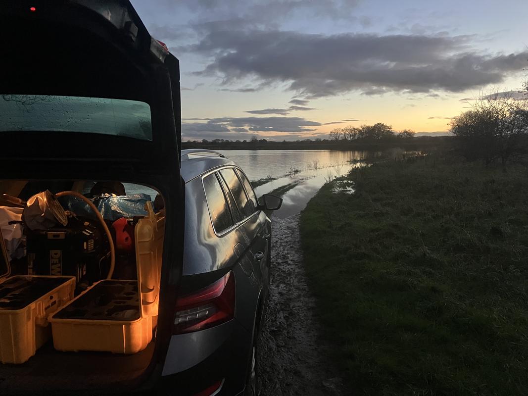
Winter arrived in November bringing it’s usual seasonal challenges to Storm’s surveyors, however it was full throttle for everyone to keep Storm’s projects on track and to deadline. The survey team encountering a month’s rainfall in one day when Storm Claudia hit, which meant they needed to adapt and regroup to maintain their project’s critical path. Surveyors set about tackling the tributaries and structures along the river collecting data where possible while avoiding going on the main river. After completing the areas they could, the projects lead surveyor Matt Maddalena, made the decision to travel from the downstream end of our survey area to the upstream end situated in the picturesque Snowdonia national park, to tackle some other tributaries and keep the project moving.
It was only on the 25th of November, 8 days after surveyors had started working on the river Dee, that the water levels had dropped to a safe enough level and flow rate for them to be able to get the boats in the water and start making some progress on the main river. Despite the severe weather and setbacks presented to the teams at the start of the project, they adapted quickly and worked effectively, ensuring the project would continue to progress at a steady pace. Learn more about our survey expertise
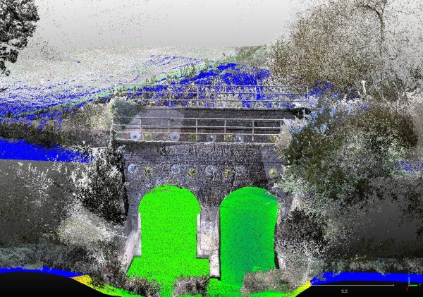
Storm Claudia did her best to slow down another of Storm’s surveying projects but the experience of senior surveyors Laurence Washbrook and Jon Teall kept this project on schedule. Tasked with conducting topographic surveys to assist in the inspections of Network Rail assets, surveyors used an array of survey methods, from terrestrial laser scanning , manual data collection, total stations and bathymetric surveys. The data is being provided in point cloud format to Storm’s client to be able to make informed decisions when maintaining these vital assets. This project consists of 34 bridges and is on track to be completed throughout this winter season taking advantage of the less dense vegetation.

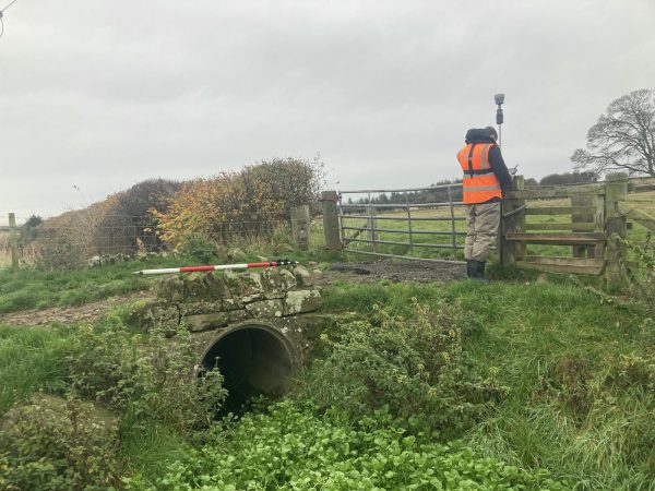
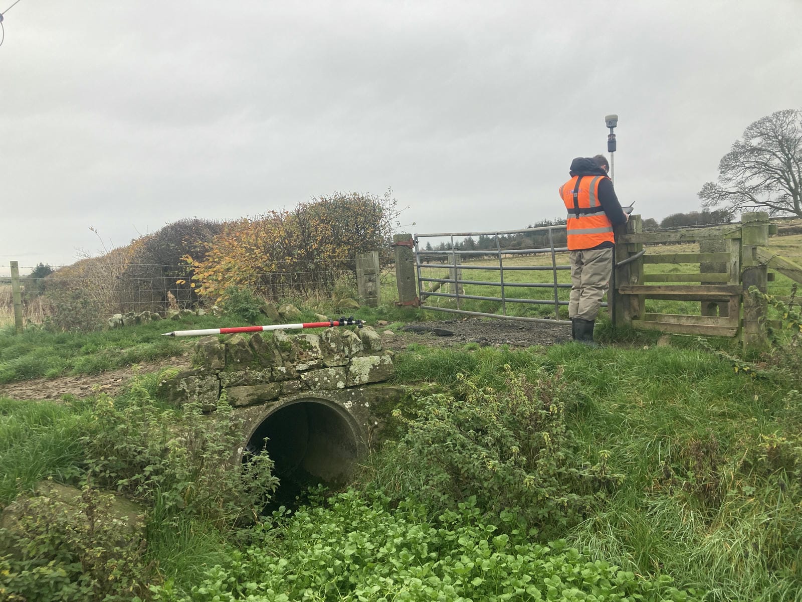
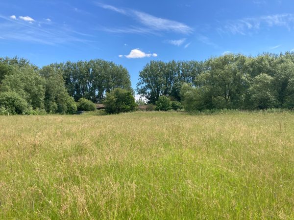
Further north, another project took Junior Surveyor Harry Sampson and new trainee Daniel Jones to Berwick on Tweed to undertake a cross section survey that included various structures. The project threw in an unexpected weir but thanks to extensive pre site planning and communication given the distance to site on this particular project everything ran smoothly. All landowner access having been arranged by the team prior to mobilising. Despite the season, foliage was in abundance and with the aid of the Trimble R12i GNSS the team managed to capture points required to produce a highly detailed data set to assist with flood modelling preparation in the local area. Discover the technology driving our surveys.
Storm welcomed two new trainee surveyors who have recently joined the team , welcome to Emily and Daniel who begin their careers as geospatial surveyors. Already making a positive start by undertaking their DEFRA level 2 safety training. Join our team of Geospatial Professionals
Next month, Storm will share how their surveyors are tackling river surveys during winter season plus an exciting collaboration with one of our key suppliers
Interface NRM. Stay tuned!

Other News
Midsummer Species Count Brings Diversity to the Meadow

Helping Clients Reduce Risk with Better Geospatial Data
