The Reservoir Didn’t Look Any Different…But What Did The Data Say?
The Background
- Date
- Summer 2025
- Client
- Land & Water / Environment Agency
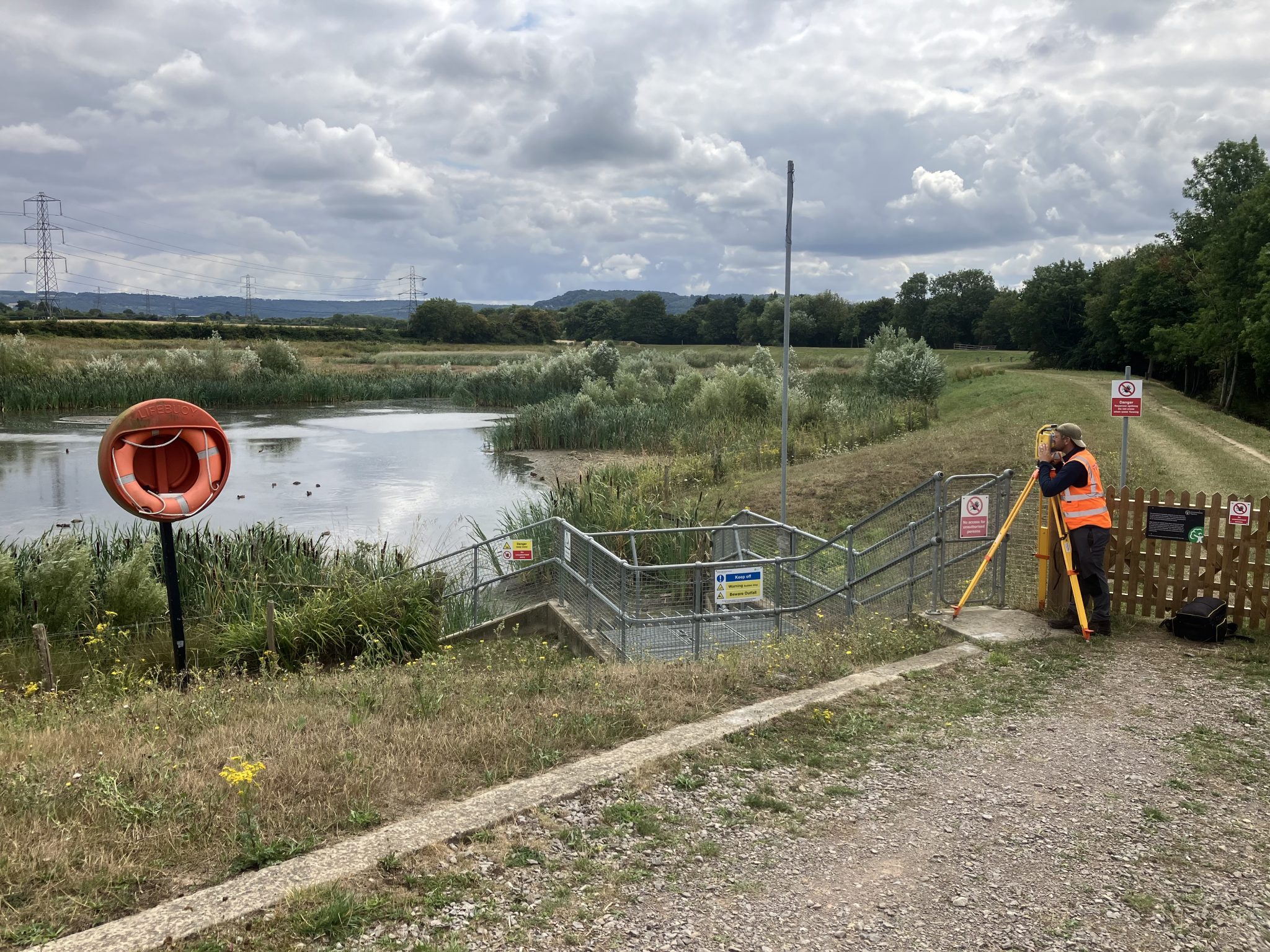
Storm Geomatics is returning to conduct annual deformation surveys across seven flood storage reservoirs in the West Midlands.
These deformation surveys are critical to detecting and measuring subtle changes in embankment condition,ensuring compliance with
Environment Agency specifications, and safeguarding downstream communities.
By repeating surveys in the exact same locations each year, Storm Geomatics delivers reliable datasets that enable engineers to monitor
structural health, manage risks proactively, and make informed maintenance decisions.
The Challenge
Reservoir embankments are subject to gradual deformation caused by vegetation growth, erosion, ground settlement, and water pressure changes.
For engineers responsible for their safety, the challenges include:
- Maintaining measurement consistency year-on-year.
- Locating exact survey points despite shifting surface features.
- Detecting subtle deformations in shape, elevation, or alignment before they compromise safety.
With the legal responsibility to monitor and maintain reservoir structures, asset owners must have precise,repeatable measurements that can withstand regulatory scrutiny.
Storm Geomatics tackle these challenges with a solution approach:
1. Repeatable Deformation Survey Methodology
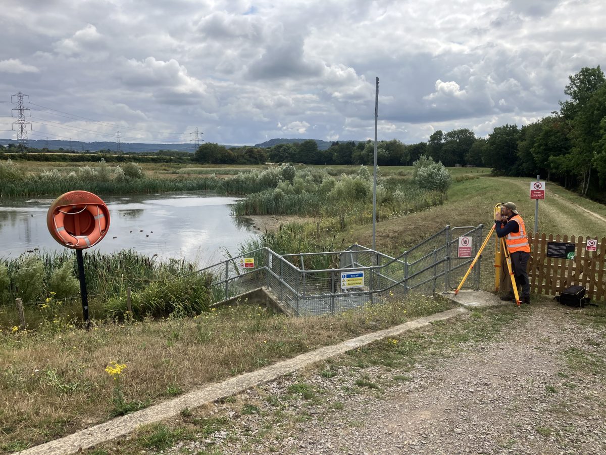
GNSS base station positioned over an EA Benchmark for positional accuracy.
Surveys aligned exactly with previous years’ datasets to ensure valid comparison.
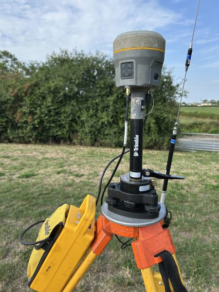
Fig 1: Trimble GNSS Base Station
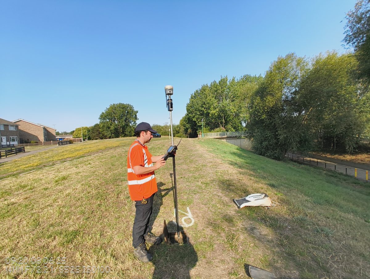
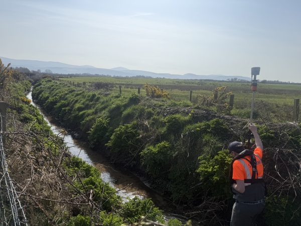
2. Precision Levelling
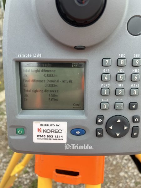
Fig 2: Precision Levelling with Trimble DiNi
Trimble DiNi digital level detects minute elevation changes in embankments.
Surveyors capture height values and compare them with historical data to highlight vertical movement.
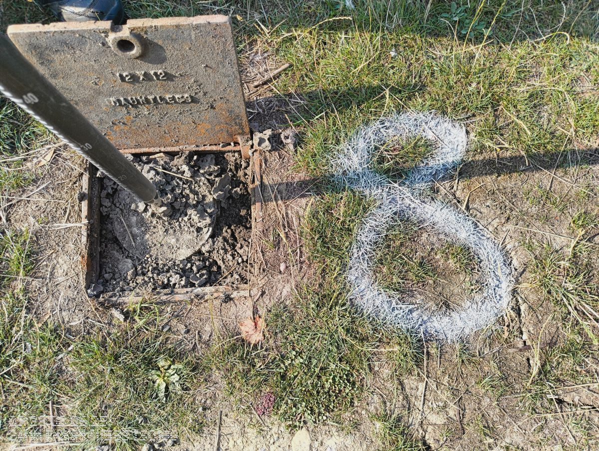
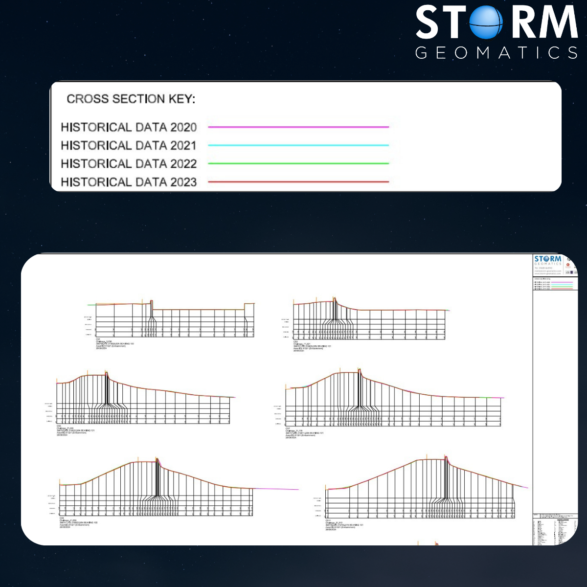
3. Detailed Cross-Section Analysis
– Cross-section surveys taken over embankments and channels to identify any change in profile.

Fig 3: Comparing annual survey data with deformation movement.
4. EA Specification Compliance
– All work meets EA Technical Specification v5.01
– Data delivered using OSTN15 and OSGM15 transformation for consistency with OS Survey Grid and geoid models
Our team’s accuracy, from GNSS base stations on EA Benchmarks to millimetre-level levelling, means the data we deliver year-on-year is directly comparable and completely reliable. That’s the kind of certainty decision-makers need and it’s exactly what we provide. Mike Hopkins Managing Director
The Results
Engineers responsible for maintaining these reservoirs will benefit from accurate detection of subtle deformation over time. Allowing better informed decision for maintenance planning. Which in turn will reduce flood risk by identifying problems before they escalate.
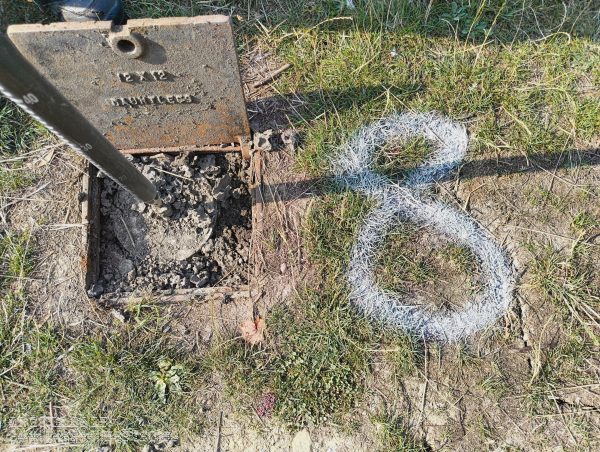
Fig 4: Positional Accuracy and Precision Monitoring are key to better maintenance strategy.

”

- Mike Hopkins
Managing DirectorRecent News

Helping Clients Reduce Risk with Better Geospatial Data
Why Early‑Stage River Survey Data Is Critical to Flood Risk Delivery
