Connecting the Culm
The Background
- Date
- May 2025`
- Client
- JBA Consulting
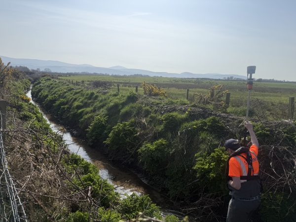
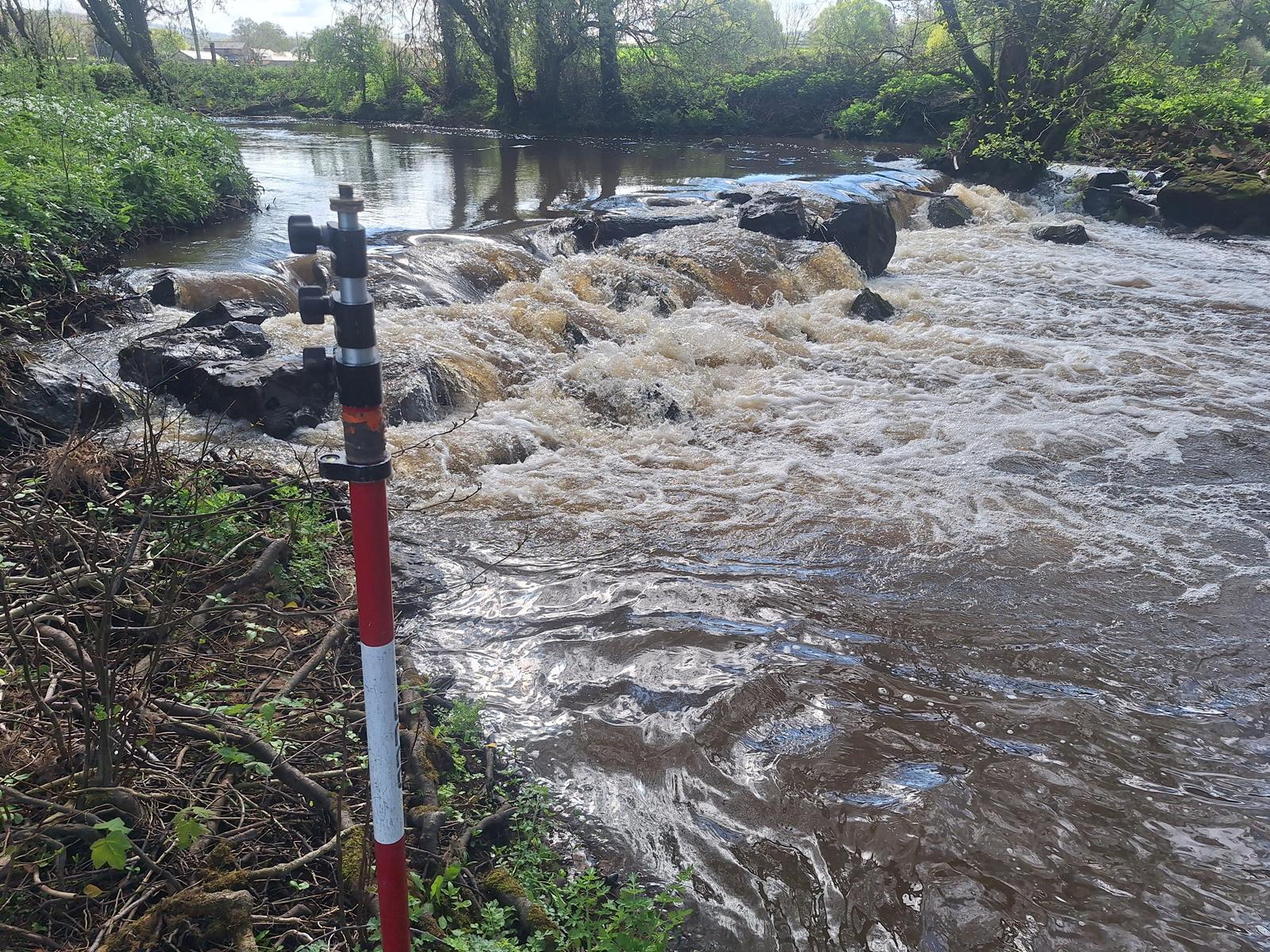
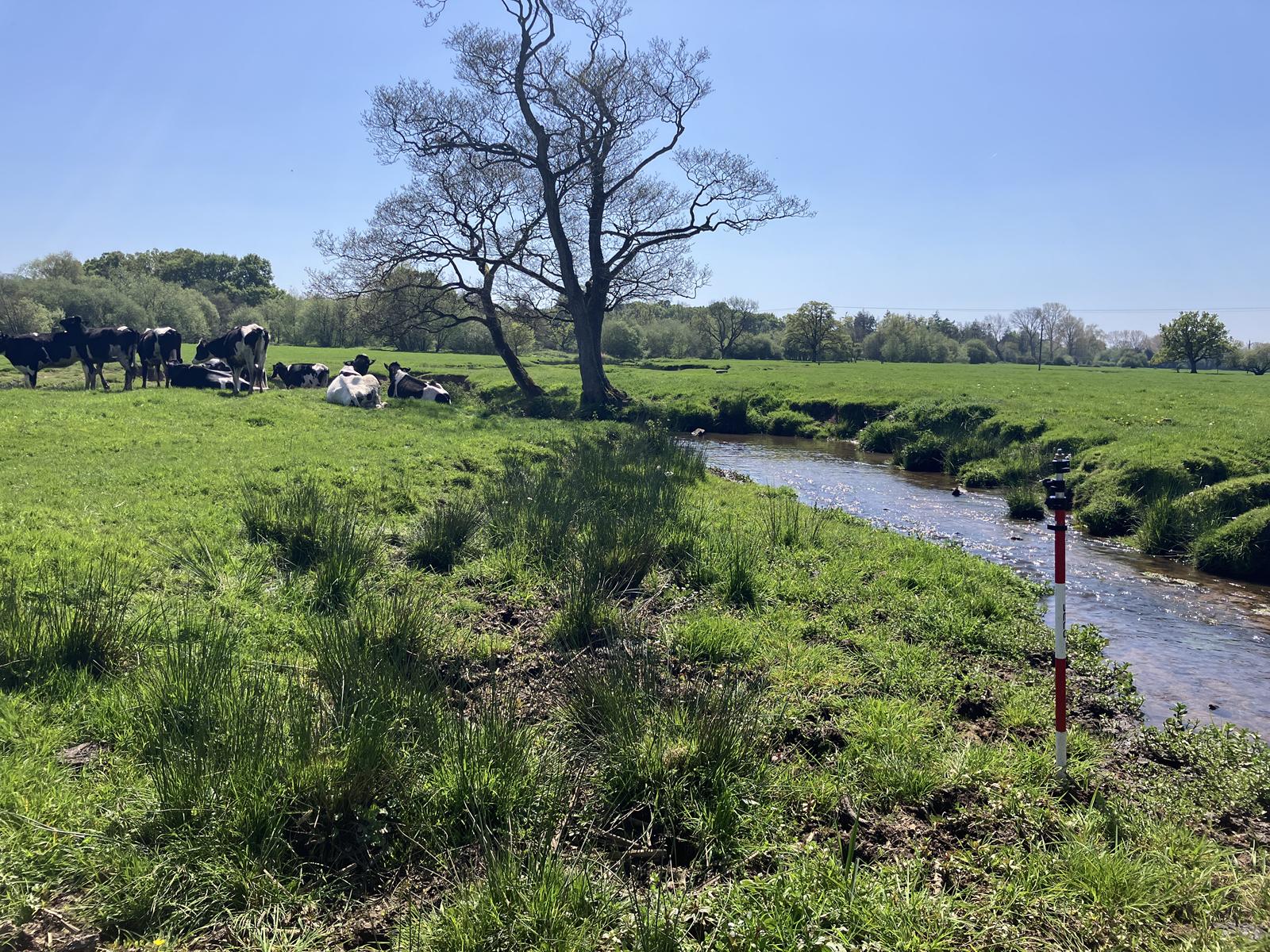
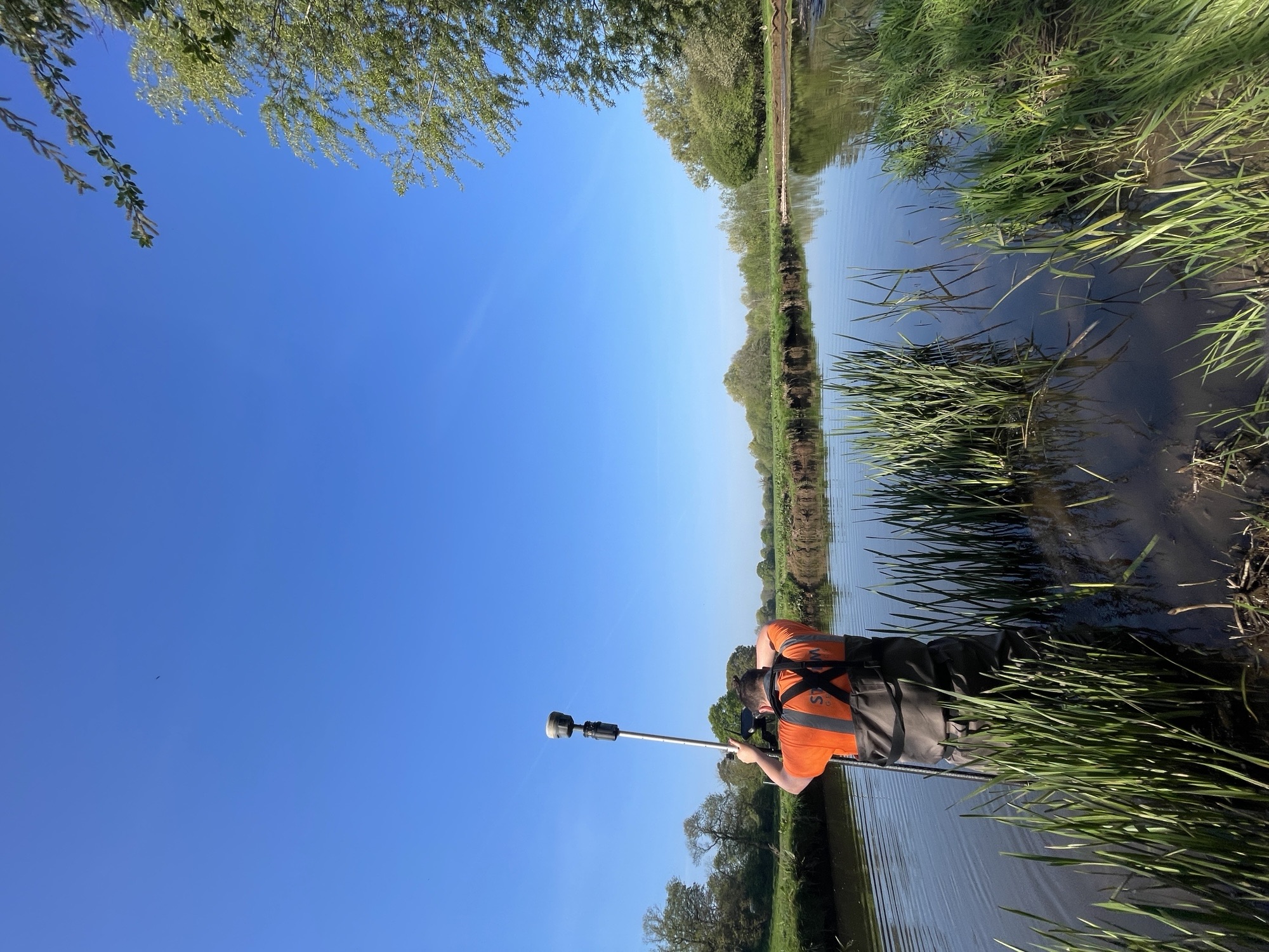
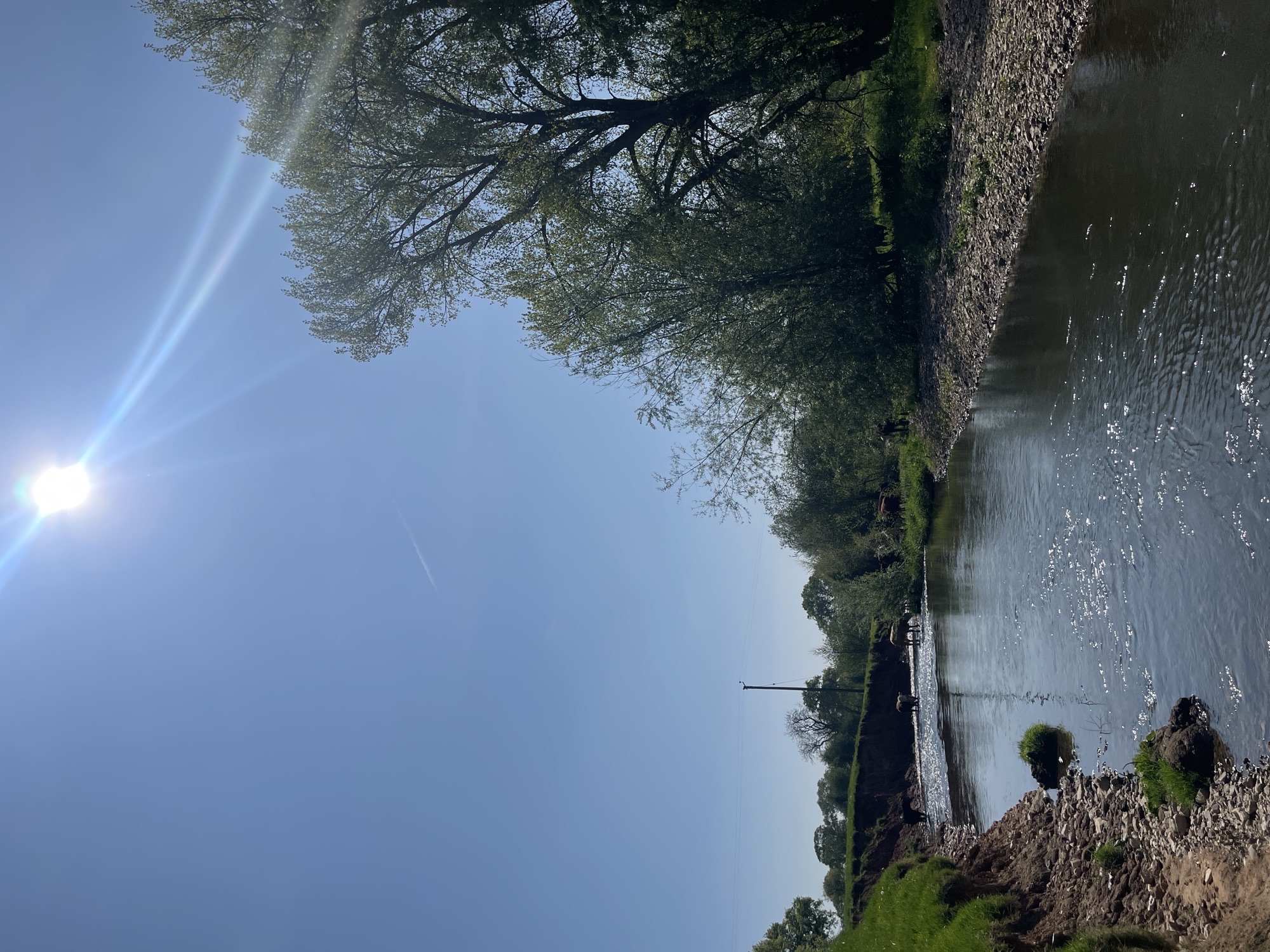
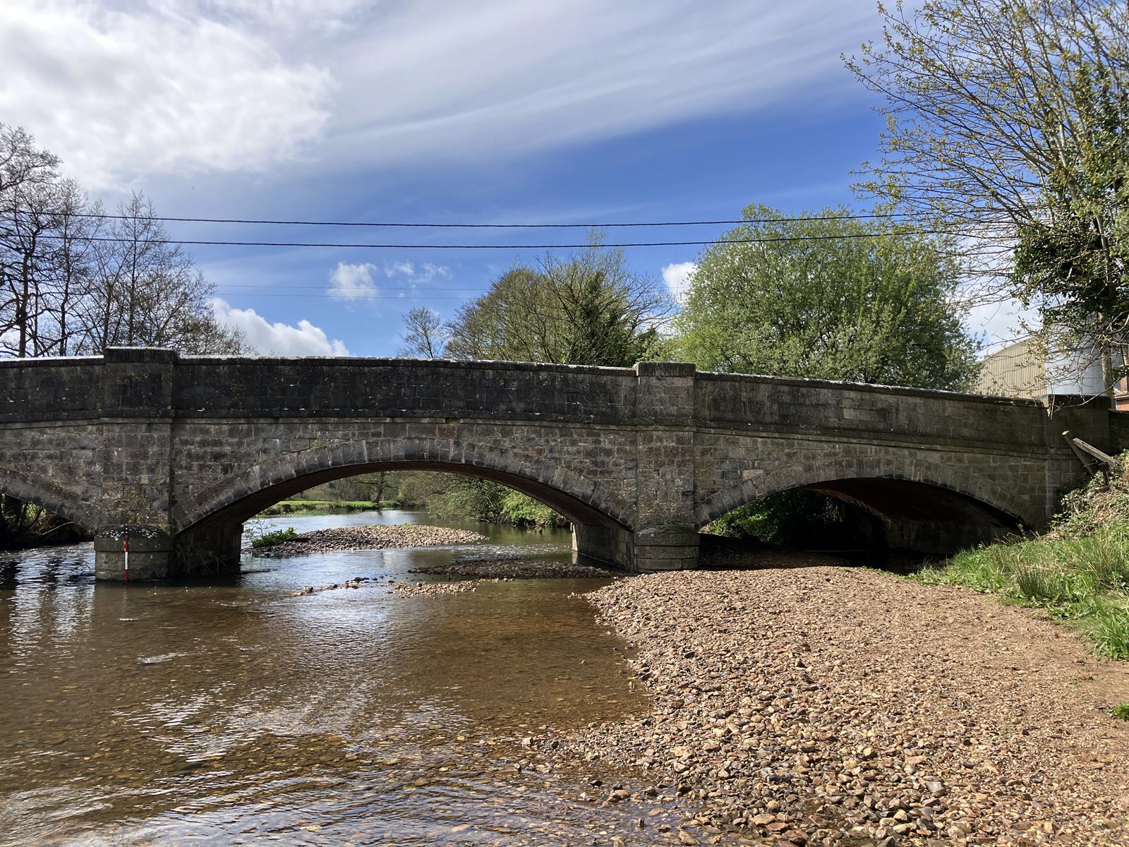
Storm Geomatics were tasked to survey the River Culm as it flows through Culmstock to Cullompton in the Blackdown Hills AONB. The purpose of the survey was to supply accurate topographic data to support flood and drought modelling as a part of the ‘Connecting the Culm’ project. There were several large bridges, numerous weirs and tributaries that needed surveying which showcased the varied skillsets of the Storm surveyors.
The Challenge
Warm and dry early summer weather made for great survey conditions with plenty of factor 50 applied and lots of water drank. 7.6km of channel was surveyed along with several km of bank levels. Topographic data of what looked to be a paleochannel which indicated a former channel route was also captured.
Landowners and residents were friendly and welcoming, often commenting on how important the ‘Connecting the Culm’ project is to local wildlife. For the surveyors, great job satisfaction was gained due to the excellent feedback of the project and the importance of the survey they were undertaking.
The Results
Survey work was completed to the Environment Agency National Standard Technical Specification for Surveying Services v5.01 (March 2023). Upon completion of the survey, the collected data was processed into CAD drawings via our in-house GeoRiver® software. Deliverables included cross section drawings, long section profiles, topographic drawings, TUFLOW & Flood Modeller Pro and photography.
Recent News

Geospatial Survey Delivery Across UK River Infrastructure

Helping Clients Reduce Risk with Better Geospatial Data