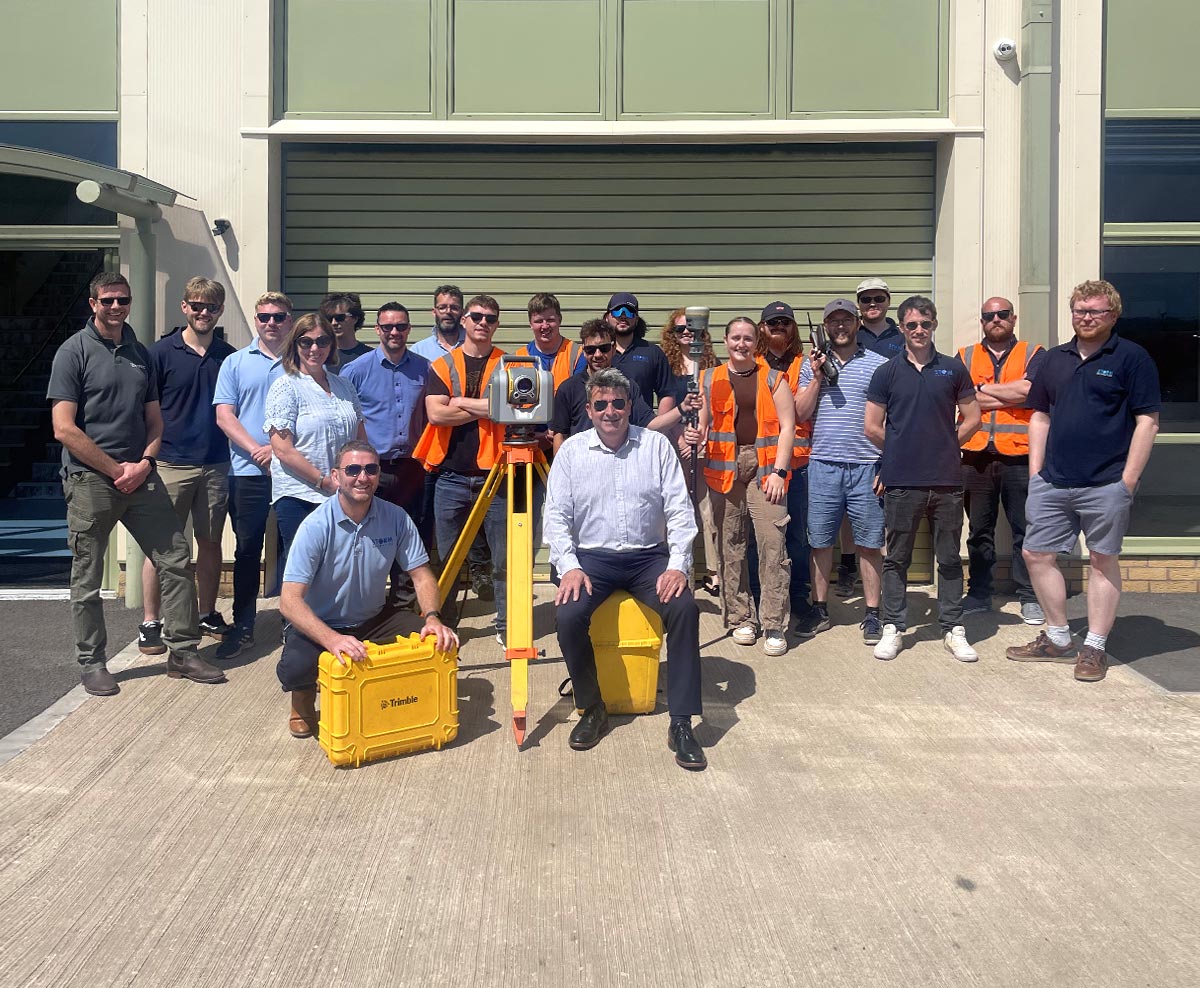
Our People
Our Leadership

Mike Hopkins
MCInstCES
Managing Director

Anthony Pritchard
MCInstCES MRICS
Training and Software Development Director

Paul Nicholls
PRINCE2 Registered Practitioner
Operations Coordinator

Matthew Maddalena
BSc (Hons) GCInstCES
Survey Manager

Toby Moyse
BSc(Hons) MCInstCES
Tender Manager
Mike Hopkins
Managing Director
Mike is Managing Director and co-founder of Storm Geomatics. With a long and uninterrupted career in the management of river surveyors and data, Mike has a deep understanding of geospatial information capture, processing and presentation.
Mike is driving the company to supply a higher level of information to its customers so their project outcomes can stand more confidently in the context that they lie. Mike sees the company’s sustainability correlating to its growth. Growth allows higher investment in new technology which offers efficiencies and therefore value to Storm’s customers.
Mike focuses equally on investment in software development in order to convert new, higher value survey data into workable files for professional water engineers. Storms mission has come from Mike’s vision is to create a team of measurement experts who use innovation to understand river functions and provide knowledge to inform projects that reduce flooding and improve natural habitats, a mission that is well under way now and already meeting its objectives on varying scales.
Storm isn’t a company that keeps its innovations secret, it likes to share them so that its mission can be realised sooner, this is a challenging thought process in business but one Mike believes strongly in. With Mike at the helm you know that your project is going to arrive safely at the right destination and probably carrying cargo which enriches the journey!
Anthony Pritchard
Training and Software Development Director
Anthony is the Training and Software Development Director and co-founder of Storm Geomatics. With over 20 years of experience conducting and managing surveys in and around water he is well placed to ensure the surveyors on your project are highly skilled for the tasks you set.
Anthony’s focus is on the quality of all data delivered by Storm Geomatics, this is not only about accuracy and precision but whether the data is fit for its intended purpose and has the client received the best use of their budget. Anthony prides himself on the performance and knowledge of the survey teams regarding data capture, presentation and most importantly health and safety.
Anthony believes the Storm Geomatics survey teams have unrivalled knowledge within the riverine and still water environment which allows the engineers and ecologists to create solutions of the highest integrity. Anthony also leads the technical development of the company’s river channel processing software GeoRiver® which is leading the way in this field.
Paul Nicholls
Operations Coordinator
Paul is an accomplished leader with 20+ year track record of leading operations, driving continuous improvement through the development of people and processes. Paul has transformed the operational side of Storm Geomatics and is part of the development team that is creating an online management system that is interfaced with existing management tools within the business.
Paul will ensure the smooth operation of the survey from inception to delivery.
Matthew Maddalena
Survey Manager
Matt Maddalena, our Survey Manager of the South West Office, started with Storm in 2018 as a surveyor.
Matt graduated with a BSc in Physical Geography from University of Sheffield. Matt then combined his academic studies with his love of the outdoors into a surveying career.
Starting out as an Aerial Surveyor, he spent four years flying around, conducting LiDAR surveys for the Environment Agency Aerial Survey Team, before becoming more ground-based with Storm Geomatics. Matt now handles the management of Storm Geomatics South West office ensuring the surveyors and kit are all finely tuned to carry out a variety of projects for clients.
When moving into a managerial role Matt was keen to ensure his surveying skills were kept up to date by conducting & delivering a limited number of technical surveys. He is extremely proficient in many survey techniques that he has experienced throughout his career & takes pride in delivering a fully comprehensive survey.
Matt is a Graduate Member of the Chartered Institution of Civil Engineering Surveyors and is on course to his Technical Member accreditation.
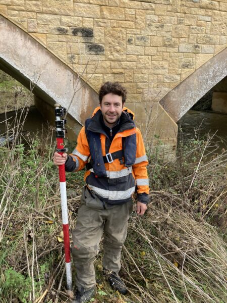
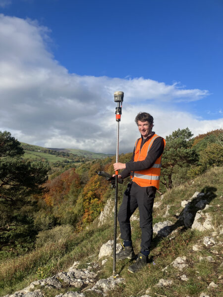
Toby Moyse
Tender Manager
Toby Moyse, our Tender Manager and Senior Surveyor, has over 7 years’ experience surveying in the riverine and water-based environment.
Toby graduated with a BSc Rural Land Management degree in 2015 and worked as a Rural Surveyor before making the leap to Storm Geomatics in 2016 to follow a career more in keeping with his lifelong passion for fishing and the outdoors.
Toby has been involved in surveys of all natures undertaken by Storm Geomatics and has a wide variety of experience in undertaking and managing these surveys. Toby’s attention to detail and professionalism can be found in every aspect of his work; he is now especially focused on ensuring clients receive the very best service and deliverables for their projects at the best possible value.
Toby is very enthusiastic about driving forward the efficiency and expertise within Storm Geomatics using state-of-the-art surveying equipment and techniques. Toby’s’ technical and management skills are underpinned with full membership of the Chartered institution of Civil Engineering Surveyors.
The Team
Senior Surveyors
Matthew Maddalena
Survey Manager
Matt Maddalena, our Survey Manager of the South West Office, started with Storm in 2018 as a surveyor.
Matt graduated with a BSc in Physical Geography from University of Sheffield. Matt then combined his academic studies with his love of the outdoors into a surveying career.
Starting out as an Aerial Surveyor, he spent four years flying around, conducting LiDAR surveys for the Environment Agency Aerial Survey Team, before becoming more ground-based with Storm Geomatics. Matt now handles the management of Storm Geomatics South West office ensuring the surveyors and kit are all finely tuned to carry out a variety of projects for clients.
When moving into a managerial role Matt was keen to ensure his surveying skills were kept up to date by conducting & delivering a limited number of technical surveys. He is extremely proficient in many survey techniques that he has experienced throughout his career & takes pride in delivering a fully comprehensive survey.
Matt is a Graduate Member of the Chartered Institution of Civil Engineering Surveyors and is on course to his Technical Member accreditation.
Surveyors


Ben Osbourne
Junior Surveyor
Junior Surveyors


Trainee Surveyors


Nethra Viswanathan
Nethra Viswanathan is a Software Engineer by profession with over 10 years of IT experience, particularly in software development, testing and deployment. Her software journey started right after under graduation as a Bachelor of Engineering graduate from Shiv Nadar University when she joined a multi-national company as a Software Engineer. The learning in her software journey elevated her responsibilities to lead a team of enthusiastic developers for a considerable period. The one hackathon contest, where she won the runner-up place for developing a python based dashboard, drifted her career path into taking up Masters’ degree in Data Science and Artificial Engineering at Bournemouth University, UK in January 2020. On completion of her degree, she entered Storm Geomatics Ltd. as a software developer. Her responsibilities in the company include development and enhancement of software including Georiver, Project Target mobile application and a Project Management Application which is still under development. She is determined to prove her technical talent and grow with the firm in all aspects.
Polly Hopkins
Company Secretary
Polly Hopkins has worked at Storm Geomatics since day one. Previously managing the day-to-day management accounts to ensure the directors could make strategic decisions in real time. With the expansion of the business Polly has now taken on the role of strategic marketing lead.
Polly’s primary focus is to ensure anyone requiring a water-based survey know of Storm Geomatics and how we can help them reducing flooding. Creating strong brand awareness and maintaining open channels of communication with clients is something Polly strives for, to ensure Storm remain the market leader as surveyors of the natural world.
Having a background in business development has enabled Polly to use previous experience to maintain and produce effective marketing plans for Storm Geomatics.
Polly serves on The Survey Association Council currently and is part of the PR sub committee, this role brings a deeper collaboration with members of the surveying profession and helps bring another dynamic into how Storm Geomatics can support other surveyors.
Britt Hounslow
Office/IMS Manager
Britt has been with Storm since 2016 and is a plate spinner extraordinaire! Responsible for all things that make Storm Geomatics operate on a day to day basis from managing our vehicle fleet which is now changing from ICE to EV to keep in line with working towards our PAS 2060, to booking essential training. One of Britt’s main responsibilities is the management of our Integrated Management System making sure that the company’s activities are carried out safely and comply with the ISO accredited procedures and processes. Britt is also a champion of our Wellness Action Plan which she uses to help identify what keeps us well at work.