Services
Near Shore
Scroll
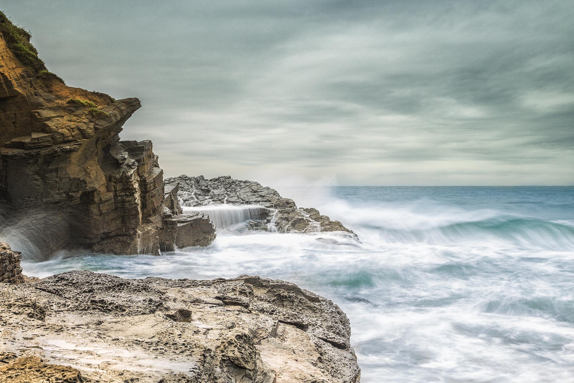
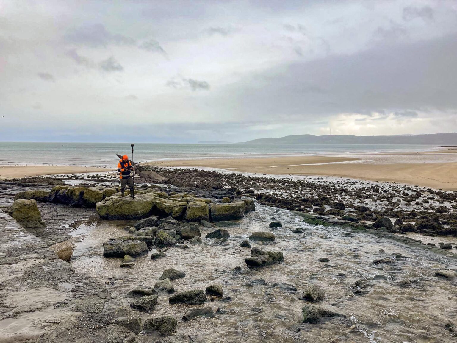
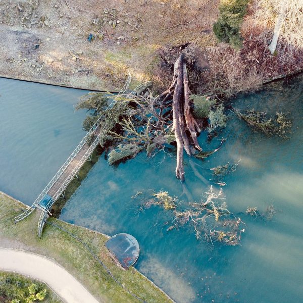
We have built partnerships with highly trained individuals to solve the very difficult problems of data capture around coastlines and islands.
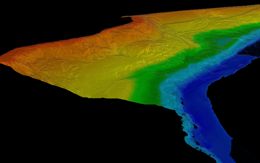
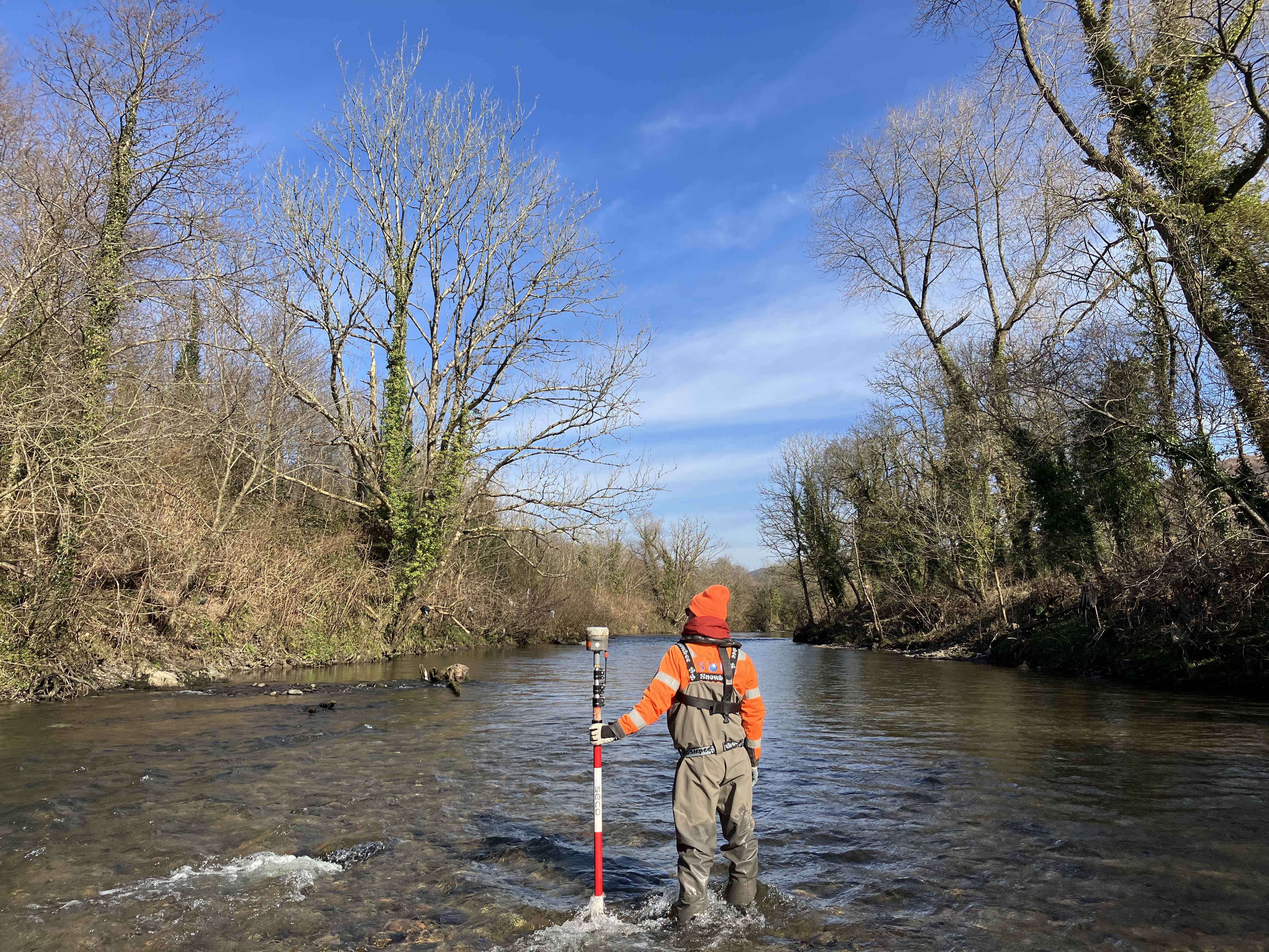
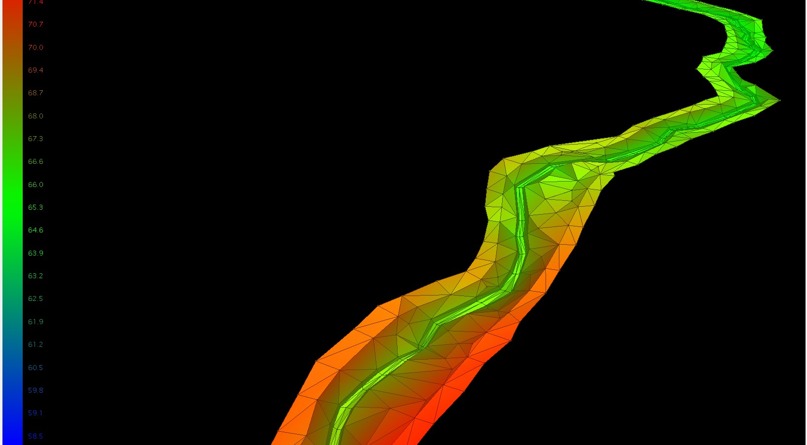
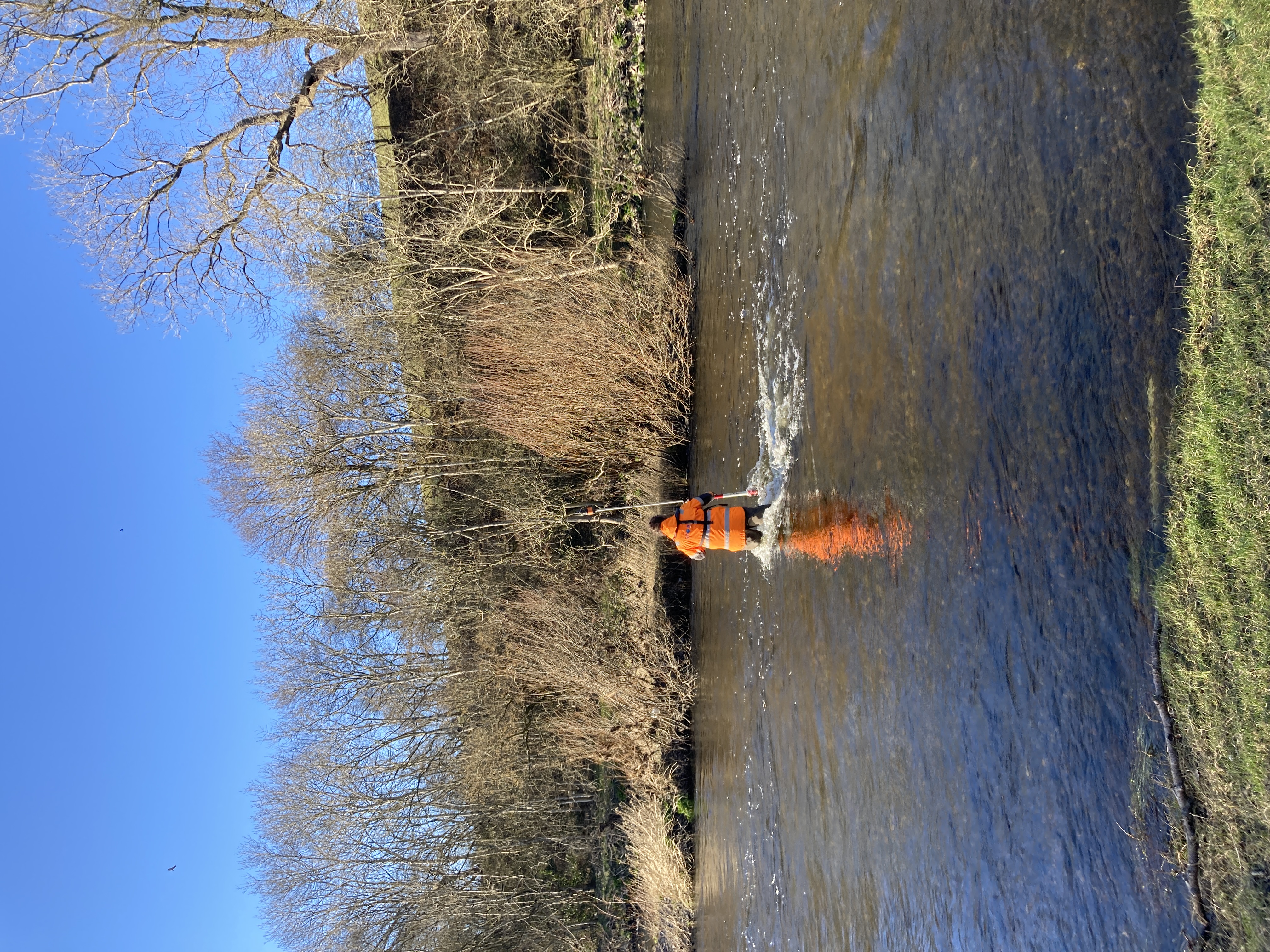
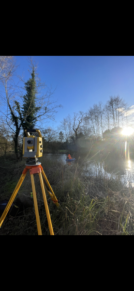
Our team has vast experience in placing sensors to measure current, temperature and tide. With our very accurate near shore survey systems our team produce detailed plans of the sea bed, foreshore and shoreline to provide the base mapping for our clients project.
Our near shore team and our partners have a passion for this work and strive to develop new and exciting ways to present near shore geospatial data for the diverse range of people that use it.
Expert Tip
“By using a near shore survey team that have both land and water survey experience you will ensure that there is an overlap in your data and that the two surveys are spatially tied together correctly.”

Mike Hopkins
Managing Director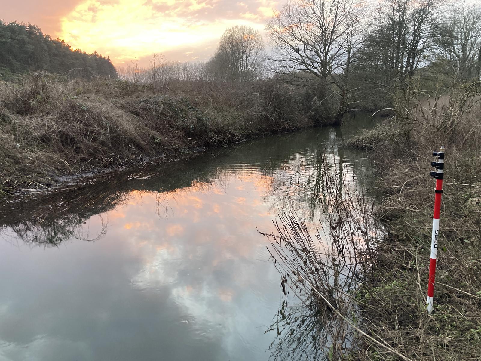
Recent News
From Dee to Data: Storm Delivers Dynamic River Data
Spring is the optimum season for geospatial surveys, channel surveys, bathymetric survey for flood mapping & hydraulic modelling.
What’s Driving Our Success in Surveys & Leadership?
February was a whirlwind at Storm Geomatics, with demand for our expert services showing no signs of slowing down
January’s Surveying Surge: Holding Back the Flood
Traditionally January marks a significant surge of enquiries for Storm’s expert surveying services as flooding budgets are allocated and...