Case Studies
River Stour Survey VLOGs
Scroll
Day 1: Tree problems
Day 2: Boats and bridges
Day 3: Tree problems
Day 4: Steep & Deep
Day 5: Structure Representation
Day 6: Finding Phosphate
Day 7: Bank Levels
Processing: Part 1
Processing: Part 2
Recent News

Geospatial Data Powers Asset Management
Essential Bridge Scour Surveys Across England Storm Geomatics has been commissioned to deliver routine scour assessments across 34 bridge...

That’s A Wrap: 2025 River Surveys & Festive Resilience
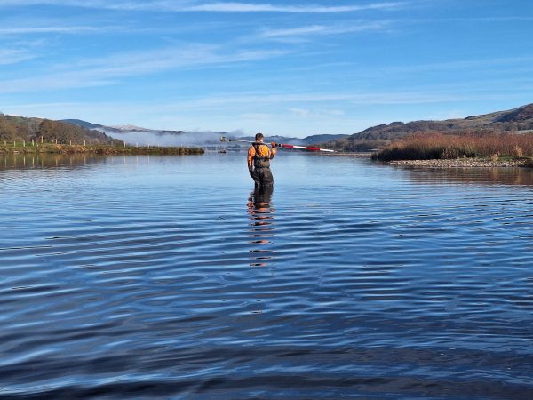
Storm Geomatics conducting a channel survey in Emsworth to support flood modelling and river connectivity analysis.
Storm Claudia vs Storm Geomatics: When Nature Tests
Storm Claudia tried her best but Storm Surveyors got their data!