Our Services
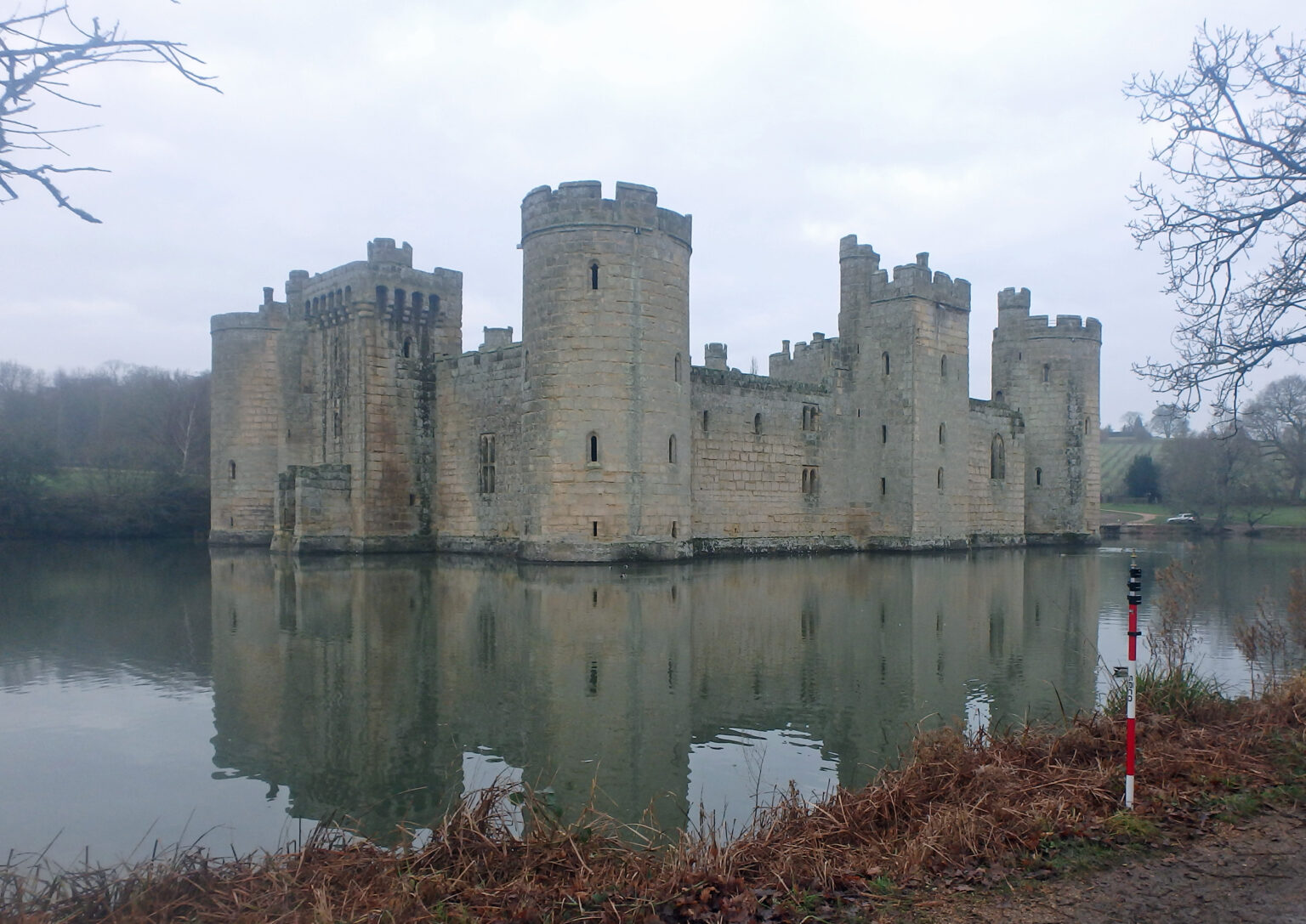
Stillwaters
Scroll

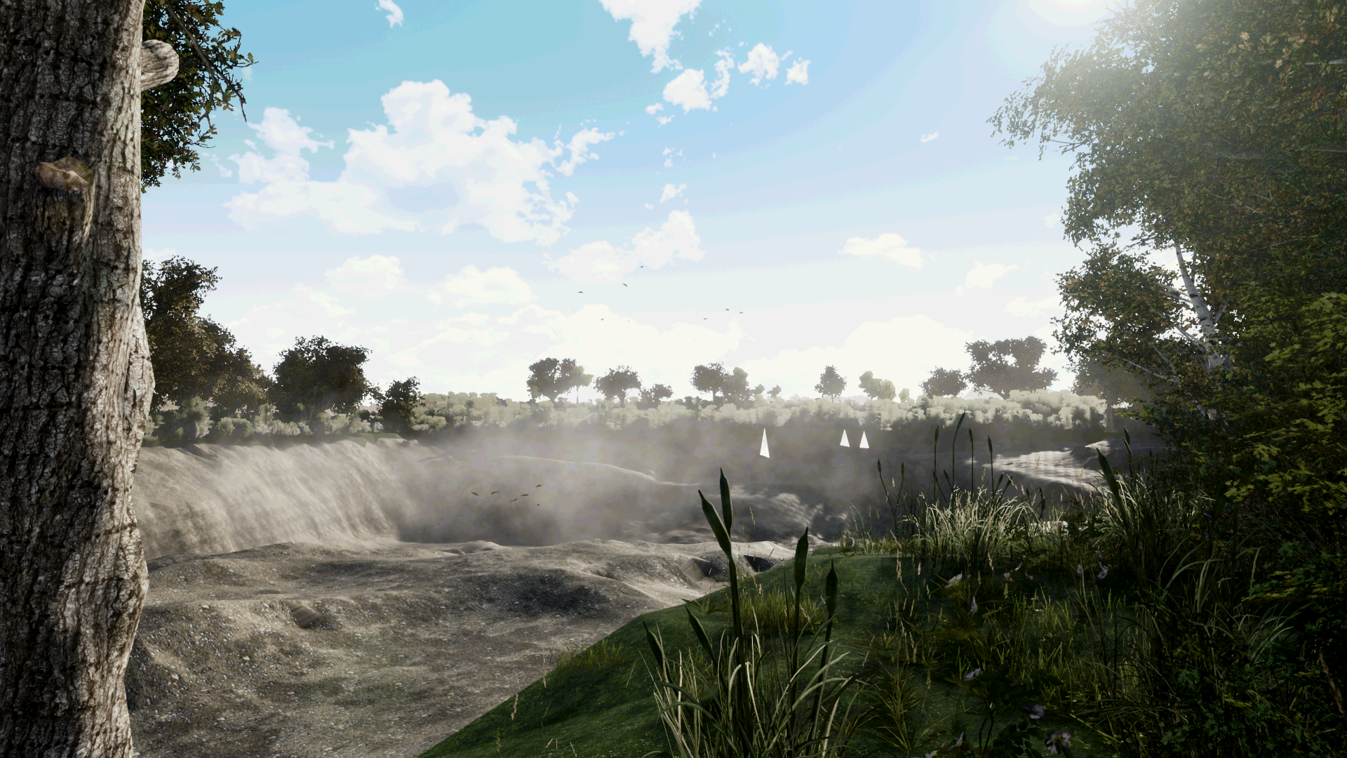
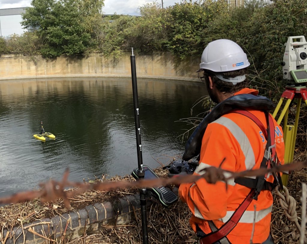
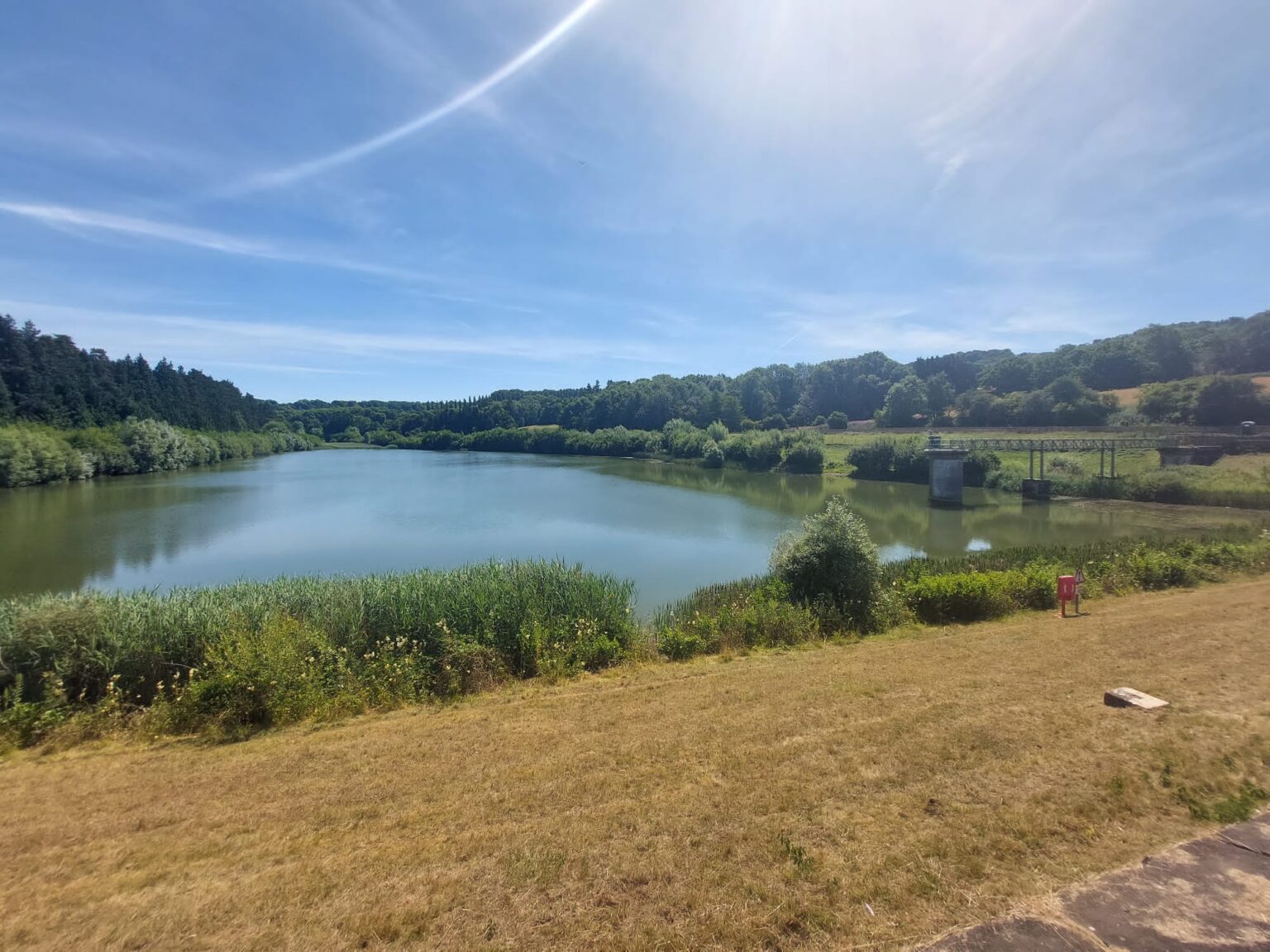
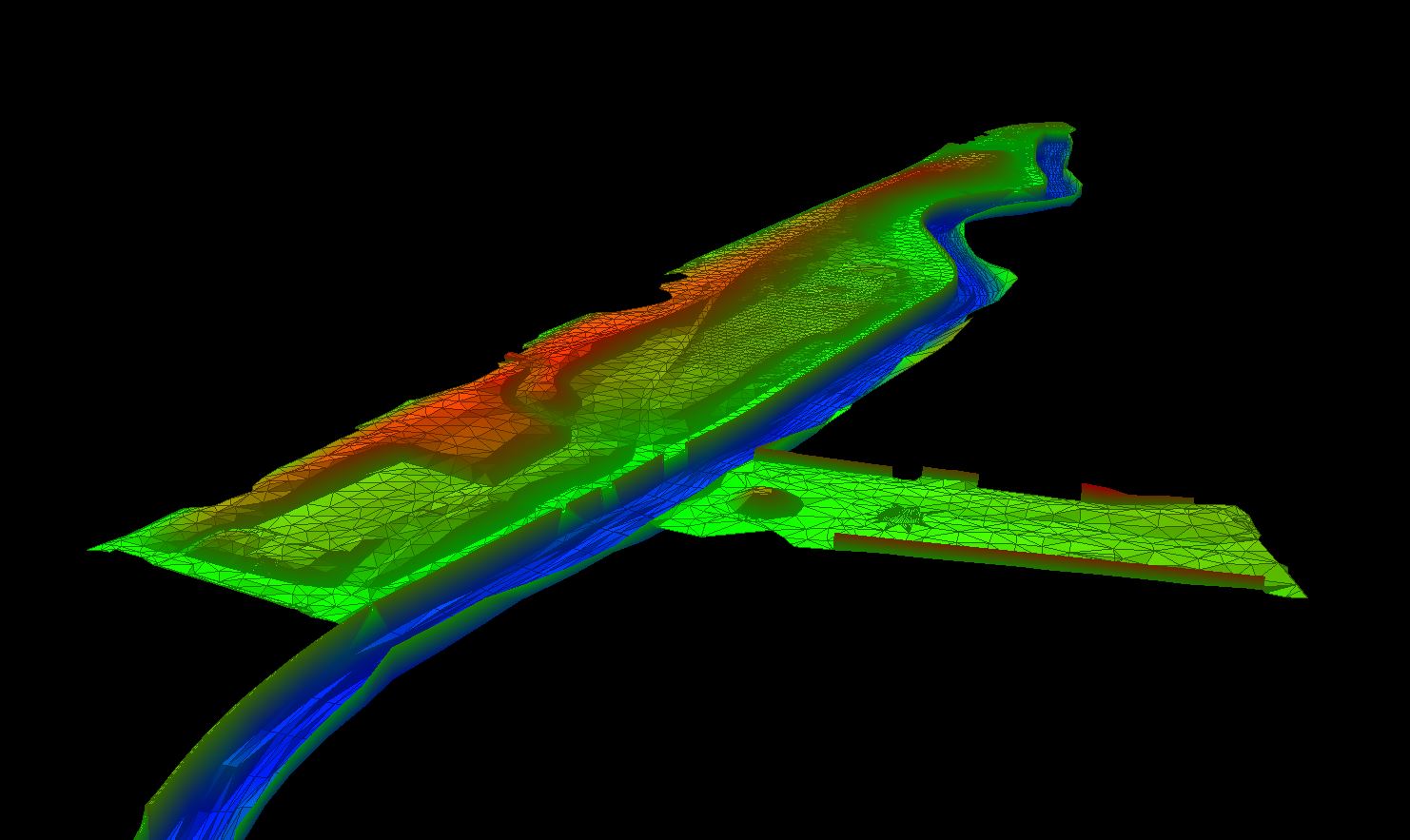
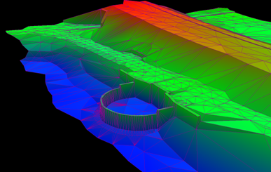
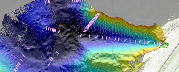
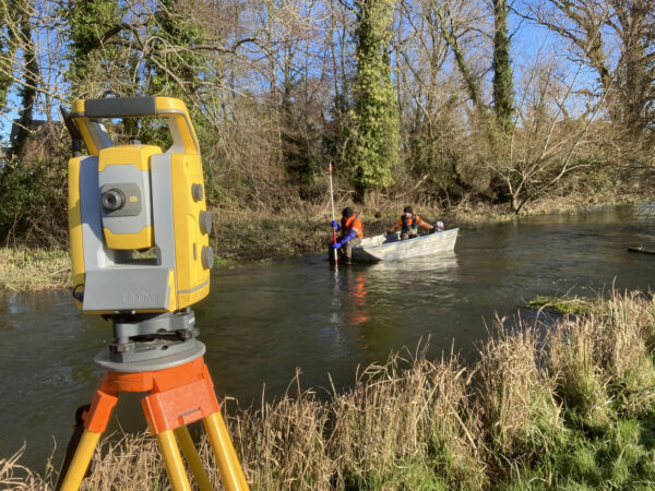
Stillwaters of all sizes can be surveyed to provide bed topography information and volume calculations for different levels of water. Vast and deep waters can be surveyed quickly using a single or multi-beam echo sounder and real-time kinematic GNSS. Lakes and reservoirs that are inaccessible with a normal car, can be accessed with a 4×4 or quad bike. Silt surveys can be undertaken of lakes to establish hard and soft bed levels and subsequent silt volumes can be calculated. Stillwaters are presented as contour drawings or coloured by elevation to represent any bed features.
Expert Tip
“When requesting a lake bed survey, the density of points captured has a significant impact on price. Make sure you specify a density that is fit for purpose for your project in order to maximise the value.”

Mike Hopkins
Managing Director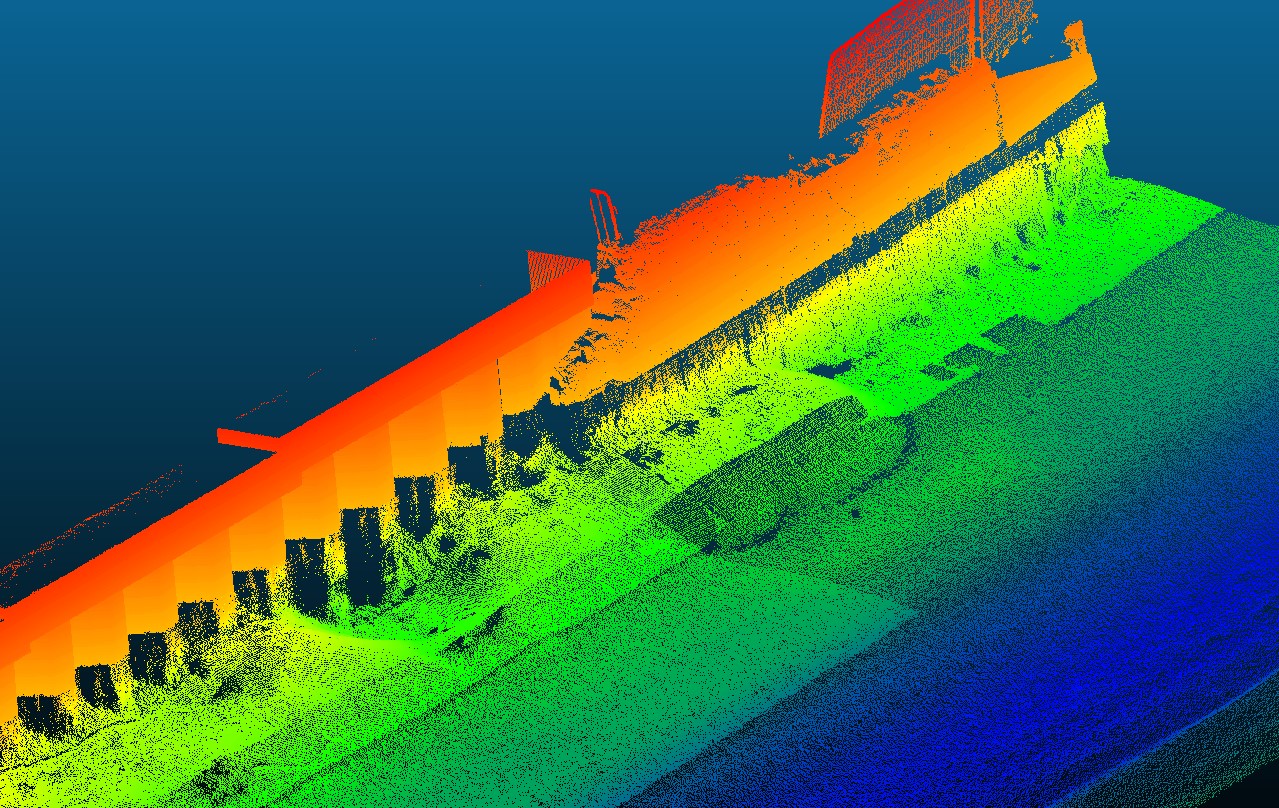
Recent News
Positioning a Syphon Pipe in Winter? Tough Guy Surveyors get it done.
Point Cloud of Gouthwaite Reservoir
Leaky Dams – can they hold back the flood?
Storm Surveyors are continuing their monitoring of natural flood management on a series of structures along tributaries of the...
2024: Storm Set for a New Era of Exceptional Survey Services
To meet the needs of existing and new clients Storm Geomatics are currently expanding the capabilities of their surveying...