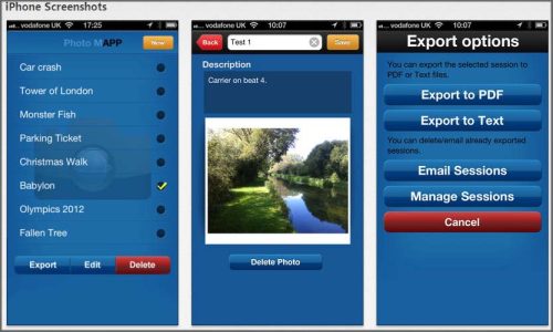
PhotoMapp is a “must have” app
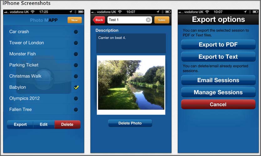
PhotoMapp is a “must have” app for the iPhone. It creates working documents of your experiences with the minimum of effort. The vision with PhotoMapp is that we can use this mobile phone app to help us with our work by organising maps, images and notes all in one place to create an informative document of our subject. Having released PhotoMapp it appears that it is being used for many other applications as people want to share their location and thoughts as well as their pictures. Wath this space on PhotoMapp – it is being developed further to appeal to the global market.
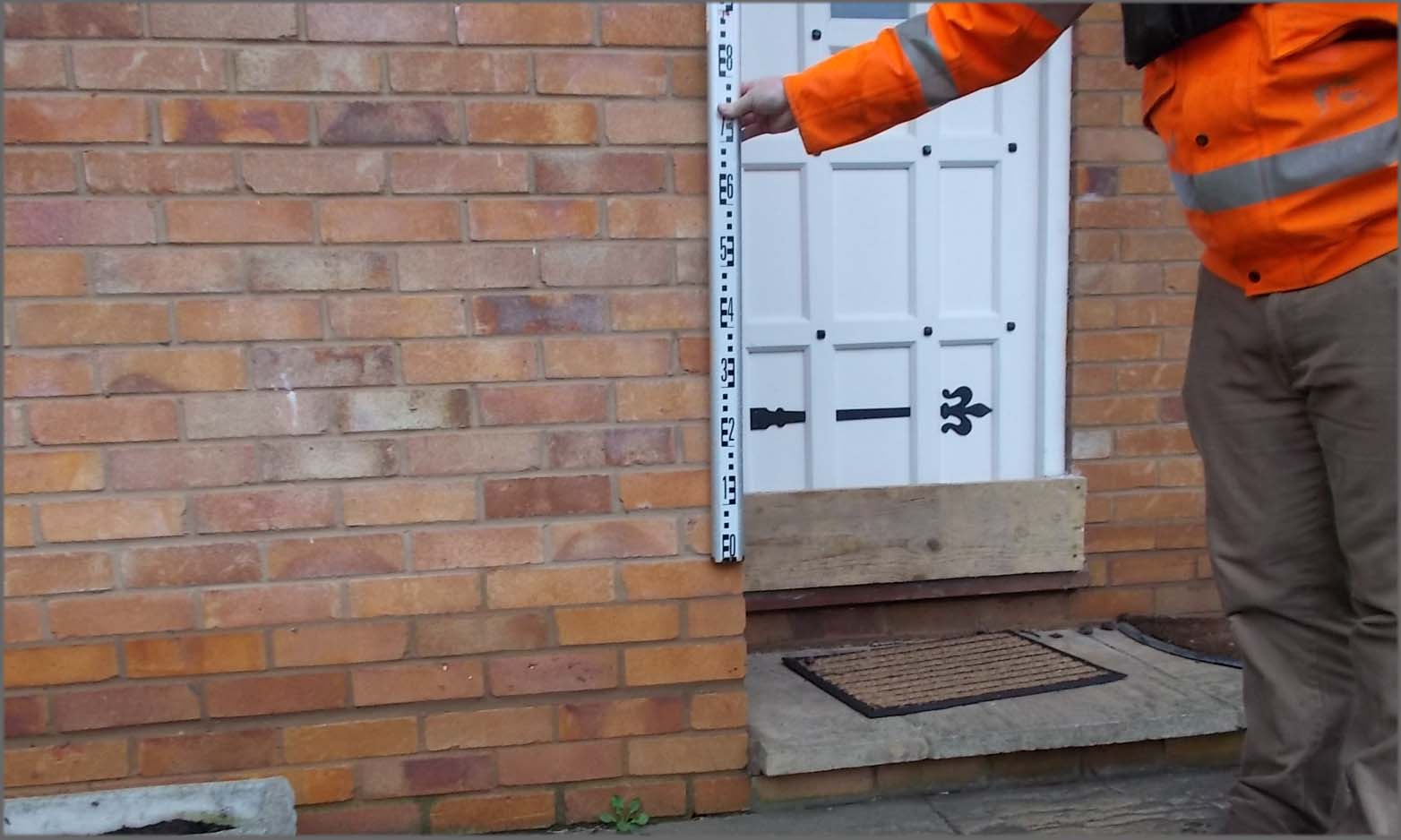
The British winter of 2013/1014 has been recorded as the wettest in history. It has rained relentlessly and water has inundated every crack and crevice in the ground until it has taken to the surface and run amok through towns and villages that haven’t seen flooding for decades. Floods have different styles, the character of these winter floods has been one of stealth and persistence. Slowly the storms have come in from the Atlantic and one after the other they have systematically topped up our land mass with water until it has been drowned out. Our surveyors have had a very difficult time accessing projects – especially to the south-west of the country where Somerset has sufferred the worst. Our teams have been out in Marlow recording peak water levels for use in hydraulic modelling calibration – if you have been flooded, make a note of where the water got to in your house or garden – this is GOLD data for insurance, flood alleviation and flood modelling – it will help your cause considerably – why not record it with PhotoMapp?

Other News

The Road to Carbon Neutrality PAS 2060
Surveyor James Mayers led a 4-man team to Yateley, Berkshire this month
TIK TOK and Planet Earth
What role do land surveyors have to play in slowing down the climate crisis? A question Mike Hopkins, Managing...