North Wales

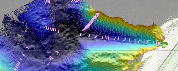
Surveyors have been active on the coastline of North Wales this month working on an urgent project. Sea defences near Llandudno Junction that protect the Crewe to Holyhead railway line were in desperate need of repair. Surveyors worked in split shifts around the tides to deliver valuable base data and condition reports to deliver to the consulting engineers within the agreed deadlines.
Surveyors have also been working locally on the River Isbourne and Beesmoor Brook in and around Winchcombe, Gloucestershire. The rivers were surveyed in order to create a hydraulic model of the system so local consulting engineers can present flood alleviation schemes.
Checks were carried out on the River Ray in Wiltshire for the Environment Agency. The level checks were systematically applied to over 20km of the river to ensure that existing model data for the river, which had come from a variety of different sources, was matching up to one datum.
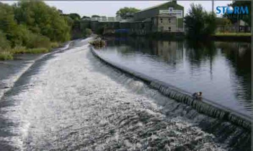
Otley Weir at Garnetts Mill, West Yorkshire was surveyed for the design of a new fish pass. The weir can be dangerous at medium and high flows and surveyors waited for gauge board levels to fall to 0.400m on the nearby gauge before carrying out the survey. The gauge board readings were acquired from the Environment Agency on a weekly basis.
Other News
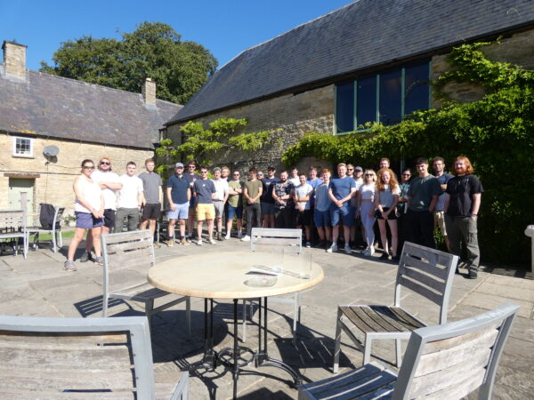
Stormin’ Fun in the Sun
Winter Storms Create Post-Flood Level Surveys